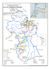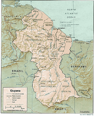
Guyana (Shaded Relief) 1991 Map
1049 miles away
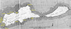
Islas del Cisne, Honduras Map
1050 miles away
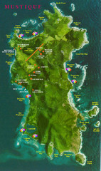
Mustique Island Map
Tourist map of private island of Mustique. Shows tourist points of interest
1051 miles away
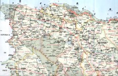
Dominican Republic North Region Road Map
Road map of the northwestern region of the Dominican Republic. Scanned.
1056 miles away

Tourist Map of Rincón Puerto Rico
Tourist map of Rincón and surrounding area. Features businesses and points of interest.
1057 miles away
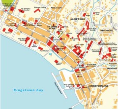
Kingstown city Map
1058 miles away
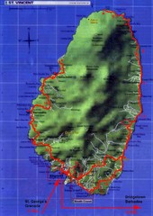
St. Vincent tourist Map
1062 miles away
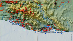
Baconao Map
1062 miles away
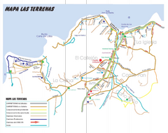
Las Terranas Map
Street map of Las Terranas, Dominican Republic.
1062 miles away
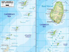
St. Vincent and the Grenadines Map
1063 miles away
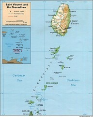
St. Vincent Map
Map of St. Vincent and the Grenadines in the Caribbean.
1064 miles away
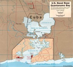
US Naval Base at Guantanamo Bay Map
Map of the area in Cuba that the US Navy leases, includes an airstrip and the Guantanamo Bay...
1066 miles away

Puerto Rico Tourist Map
Tourist map for Puerto Rico showing major roads, cities and the airport.
1069 miles away

"San Antonio Del Sur - Baracoa" Road Map
1070 miles away
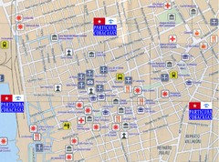
Santiago de Cuba Port and Center Map
Street tourist map of port and town center
1071 miles away
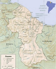
Guyana Map
Guide to the South American country of Guyana
1072 miles away

Santiago de Cuba Map
1072 miles away
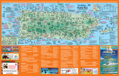
Puerto Rico Tourist Map
Map of island with detail of local tourist attractions
1073 miles away

Guantanamo Map
1077 miles away
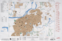
Choluteca Honduras Map
1078 miles away

"Santiago De Cuba - GuantAnamo" Road Map
1080 miles away

"Pilon-Bayamo" Road Map
1080 miles away
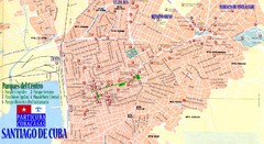
Santiago de Cuba Map
Street tourist map of city
1087 miles away
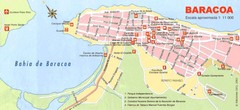
Baracoa Tourist Map
Tourist street map of town
1088 miles away
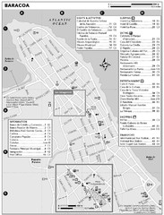
Baracoa Map
1089 miles away

Baracoa Map
1089 miles away
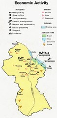
Guyana - Economic Activity, 1973 Map
1092 miles away
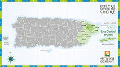
East Central Puerto Rico Map
1093 miles away

"Bayamo - SantiagoDeCuba" Road Map
1094 miles away
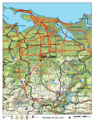
San Juan Road Map
Road map of San Juan, Puerto Rico area. Shows shaded elevation.
1097 miles away
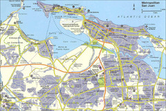
San Juan City Map
City Map of San Juan with information
1098 miles away
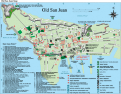
Old San Juan Tourist Map
City tourist map
1099 miles away
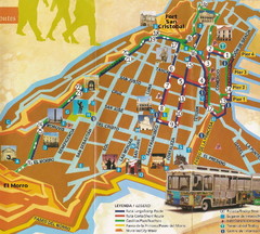
Old Town San Juan and El Morro Map
1099 miles away
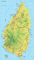
St. Lucia Island Map
High quality road and physical map of island of St. Lucia. Elevations are color-coded.
1101 miles away
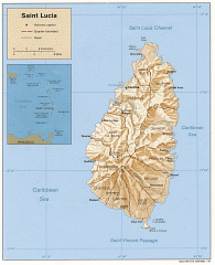
Map of Saint Lucia
Map of Saint Lucia in the Carribbean.
1101 miles away
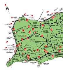
West St. Croix Map
1102 miles away
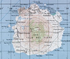
El Tigre Island Map
Topo map of volcanic island El Tigre Island
1102 miles away

Bayamo Map
1104 miles away

