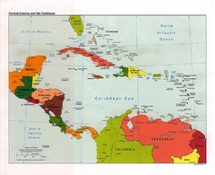
Caribbean Political Map
Political map of the Caribbean region. Scanned.
858 miles away
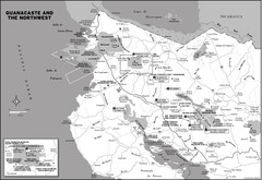
Guanacaste and the Northeast Map
867 miles away
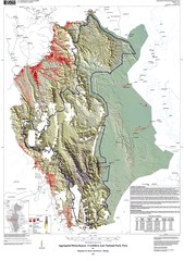
Cordillera Azul NP landcover Map
874 miles away
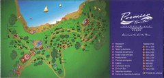
Premier Fiesta Resort and Spa Map
Fiesta Resort Map (Now Hilton)
875 miles away
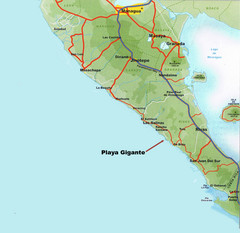
Cental America Coast Map
881 miles away

Panoramic view of Nicaragua Canal route Map
881 miles away
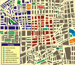
Chiclayo Tourist Map
Tourist map of downtown
881 miles away
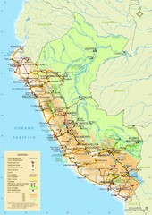
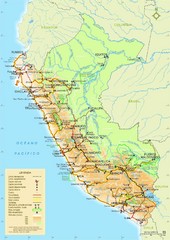
Peru Tourist Map
882 miles away
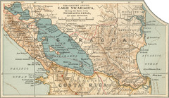
Early map of Nicaragua Canal
This was the original route for a canal across Central America
885 miles away
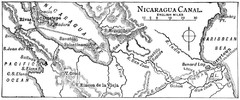
Route of Nicaragua Canal 1906 Map
889 miles away
Belize Hurricane Tracking Map
Hurricane Tracking Map for Belize, Central America. Includes warning flags and their meanings.
890 miles away
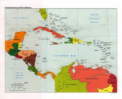
Central American and the Caribbean Political Map
891 miles away
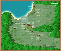
Coco Beach Tourist Map
896 miles away
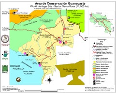
Guanacaste Conservation Area Tourist Map
Tourist map of Guanacaste Conservation Area, a World Heritage Site, in state of Guanacaste, Costa...
901 miles away
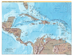
Central America and Caribbean Map
Map of Central America and Caribbean
908 miles away
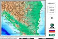
Nicaragua City and Town Elevation Map
Elevation map of Nicaragua with cities, towns, and airports detail.
913 miles away
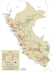
Peru Tourist Map
915 miles away

The Amazon Tourist Map
The Amazon in South America
916 miles away
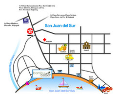
San Juan Del Sur Tourist Map
929 miles away
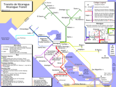
Nicaragua Transit system Map
934 miles away
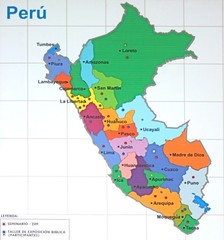
Regions of Peru Map
938 miles away
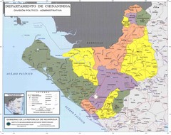
Political divisions of northeastern Nicaragua Map
939 miles away
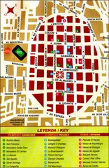
Trujillo Tourist Map
Tourist map of historical city center
944 miles away
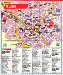
Trujillo Tourist Map
Tourist map of central Trujillo, Peru. Shows points of interest.
944 miles away
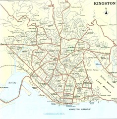
Kingston Street Map
Street map of city of Kingston, Jamaica.
946 miles away
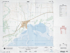
Aquin, Haiti Tourist Map
947 miles away
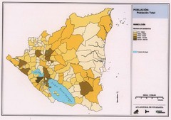
Nicaragua population density Map
947 miles away
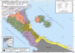
Political divisions of southern Nicaragua Map
950 miles away
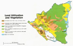
Nicaragua - Land Utilization and Vegetation, 1979...
950 miles away
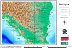
Nicaragua USGS/CINDI 1998 Map
950 miles away
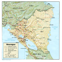
Nicaragua (Shaded Relief) 1985 Map
950 miles away
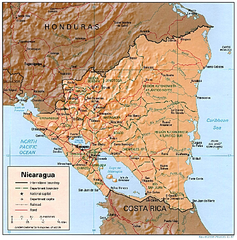
Nicaragua (Shaded Relief) 1997 Map
950 miles away
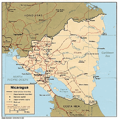
Nicaragua (Political) 1985 Map
950 miles away
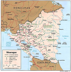
Nicaragua (Political) 1997 Map
950 miles away
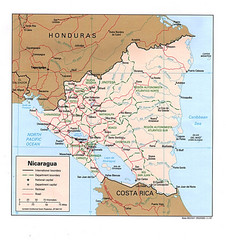
Nicaragua Tourist Map
950 miles away

Port Antonio road Map
952 miles away
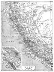
Peru 1906 Map
952 miles away
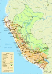
Peru Tourist Map
957 miles away
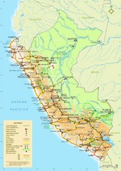
Peru Tourist Map
957 miles away

