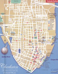
Charleston, South Carolina Tourist Map
Downtown.
1986 miles away

Charleston Tourist Map
Tourist map of Charleston, South Carolina. Shows activities and museums.
1986 miles away
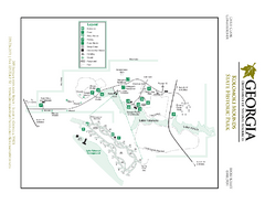
Kolomoki Mounds State Park Map
Map of park with detail of trails and recreation zones
1987 miles away
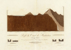
Huehuetoca Canal, Mexico Map
An old physical description of the Huehuetoca Canal in Mexico
1987 miles away
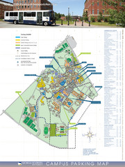
Georgia Southern University Map
Campus Map
1987 miles away
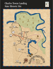
Charles Towne Landing State Park Map
This small park is full of beautiful hiking trails set in a natural setting.
1987 miles away

Gulf Islands National Seashore Park Map
Official NPS map of the Gulf Islands National Seashore Park. Largest National Seashore in the US...
1987 miles away
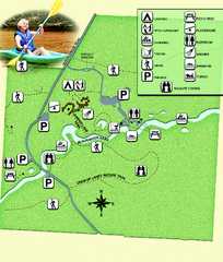
Blackwater River State Park Map
Map of park with detail of various recreation zones
1988 miles away
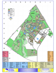
Georgia Southern University Map
Georgia Southern University Campus Map. All buildings shown.
1989 miles away
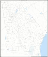
Georgia Zip Code Map
Check out this Zip code map and every other state and county zip code map zipcodeguy.com.
1989 miles away
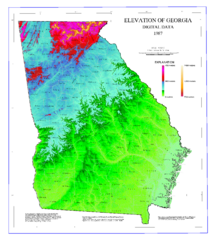
Map of Georgia Elevations
Digital elevation map of Georgia, U.S.
1989 miles away
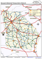
Georgia Transportation Map
1989 miles away
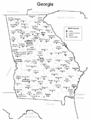
Georgia Tourist Map
1989 miles away
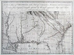
Georgia Map
Map of Georgia circa 1748. Includes Georgia and parts of the Carolinas, Florida and Louisiana.
1989 miles away

Charleston, South Carolina City Map
1993 miles away
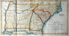
Southern Parts of the US Map
"This map was initially published in Morse's American Gazetteer in 1797 with Georgia...
1996 miles away
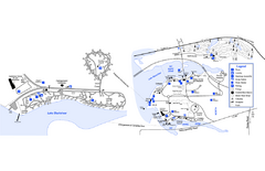
Georgia Veterans State Park Map
Map of park with detail of trails and recreation zones
1996 miles away
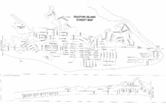
Dauphin Island Street Map
1996 miles away

Parque Nacional Baritu Map
Map of park with detail of trails
1996 miles away

Dauphin Island Change Detection Map
1997 miles away
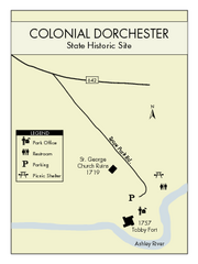
Colonial Dorchester State Park Map
Office, parking, picnic sites and more are all clearly marked on this state park site.
1999 miles away
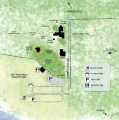
Marjorie Kinnan Rawlings Historic State Park Map
Map of park with detail of trails and recreation zones
2000 miles away
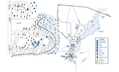
George L. Smith State Park Map
Map of park with detail of trails and recreation zones
2002 miles away

Summerville, South Carolina Tourist Map
2003 miles away
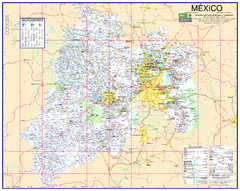
State of Mexico Road Map
Detailed road map of the Mexican state of Mexico. In Spanish.
2003 miles away
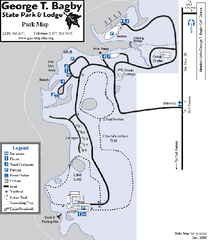
George T. Bagby State Park Map
Map of park with detail of trails and recreation zones
2004 miles away
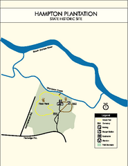
Hampton Plantation State Park Map
Clear and easy to read map.
2005 miles away
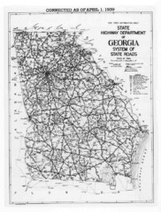
Georgia 1939 Road Map
State Road Map of Georgia in 1939
2005 miles away
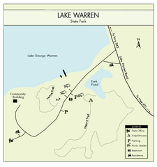
Lake Warren State Park Map
Clearly marked state park map.
2006 miles away
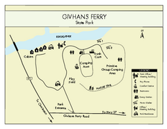
Givhans Ferry State Park Map
Map marked with shelter, phone, restrooms, picnic and more.
2007 miles away
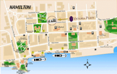
Hamilton City Map
Tourist map of central Hamilton, Bermuda. Shows major streets and parks.
2007 miles away
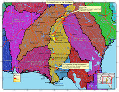
Drainage Basins of the Southeast United States Map
Lakes, rivers and dams in the Apalachicola, Chattahoochee and Flint River System.
2007 miles away
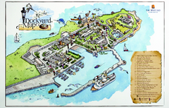
Royal Naval Dockyard Tourist Map
Tourist map of the Royal Naval Dockyard in Bermuda. Shows points of interest
2008 miles away
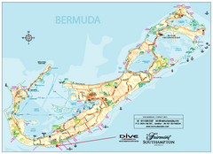
Bermuda Overview Map
Overview map of Bermuda. Shows sunken ship diving spots.
2008 miles away
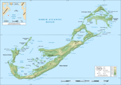
Bermuda topographic Map
2008 miles away
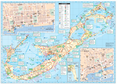
Tourist map of Bermuda
Great tourist map of Bermuda from the Bermuda Department of Tourism. Historic, transport...
2009 miles away
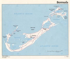
Bermuda Tourist Map
2010 miles away
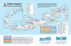
Bermuda Public Transport Map
Bus and ferry map of Bermuda. Shows ferry stops and bus routes.
2010 miles away
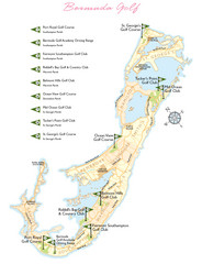
Bermuda Golf Map
Golf map of Bermuda. Shows 9 golf courses.
2010 miles away

Crystal Cave Map
Tourist map of the grounds of Crystal Caves, Bermuda. Shows entrances to Crystal Cave and Fantasy...
2012 miles away

