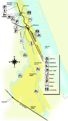
Tomoka State Park Map
Map of park with detail of recreation zones
1771 miles away
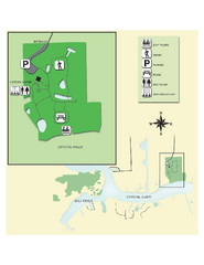
Crystal River Archeological State Park Map
Map of park with detail of trails and recreation zones
1772 miles away
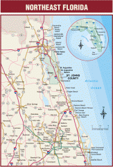
Northeast Florida Road map
A complete road map of the Northeast section of the state of Florida.
1773 miles away
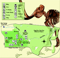
Silver River State Park Map
Map of park with detail of trails and recreation zones
1779 miles away
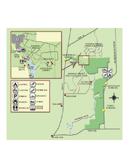
Rainbow Springs State Park Map
Map of park with detail of recreation zones
1780 miles away
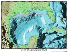
Gulf of Mexico sea floor Map
1782 miles away
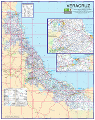
Veracruz Road Map
Detailed road map of the state of Veracruz. Inset of Veracruz city surroundings. In Spanish.
1789 miles away
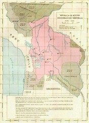
Alleged territorial losses of Bolivia Map
This Bolivian map shows all the alleged territorial losses.
1790 miles away
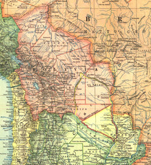
Bolivia and Paraguay in 1921 Map
1921 National Geographic Map of Bolivia and Paraguay before of the 1932-35 bloody war between those...
1795 miles away
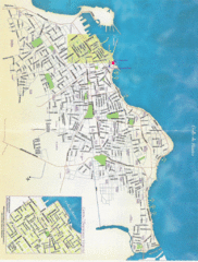
Veracruz City Map
Veracruz city map with Language Immersion School highlighted
1798 miles away
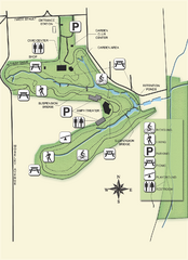
Ravine Gardens State Park Map
Map of park with detail of trails and recreation zones
1800 miles away
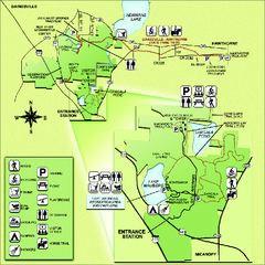
Paynes Prairie State Preserve Map
Map of preserve with detail of trails and recreation zones
1809 miles away
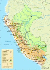
Western South America Tourist Map
1810 miles away
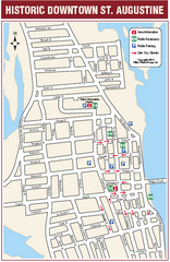
Downtown St. Augustine, Florida Map
Tourist map of historic downtown St. Augustine, Florida. Shows visitor information, restrooms, and...
1811 miles away

University of Florida Map
1814 miles away
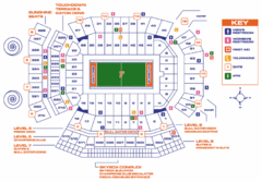
Ben Hill Griffin Stadium Map
Clear map and legend of this stadium.
1814 miles away
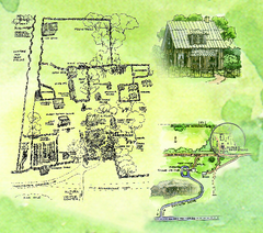
Dudley Farm Historic State Park Map
Map of park with detail of historical monuments
1819 miles away
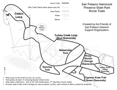
San Felasco Hammock Preserve State Park Horse...
Map of horse trails throughout preserve
1822 miles away
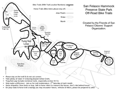
San Felasco Hammock Preserve State Park Bike...
Map of bike trails throughout preserve
1822 miles away
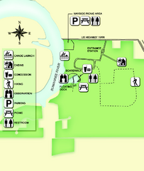
Fanning Springs State Park Map
Map of park with detail of trails and recreation zones
1822 miles away
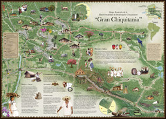
Chiquitania Region Tourist Map
Tourist map of the Mancomunidad Chiquitana or "Association of Chiquitano Peoples and...
1832 miles away
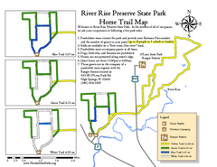
River Rise Preserve State Park Horse Trail Map
Map of horse trails throughout preserve
1836 miles away
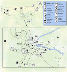
OLeno State Park Map
Map of park with detail of trails and recreation zones
1836 miles away
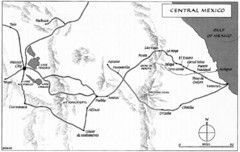
Invasion of Veracruz to Mexico City Historical Map
1841 miles away
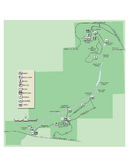
Ichetucknee Springs State Park Map
Map of park with detail of trails and recreation zones
1844 miles away
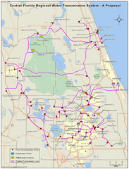
Jacksonville, Florida City Map
1846 miles away
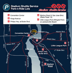
Stadium Shuttle Service Map
1846 miles away
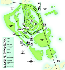
Lovers Key State Park Map
Map of park with detail of trails and recreation zones
1851 miles away
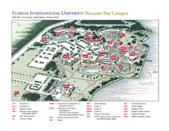
Florida International University at Biscayne...
1853 miles away
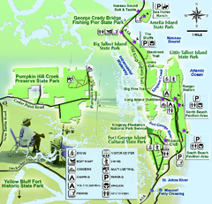
Jacksonville Area Florida State Parks Map
Overview map of Florida State Parks near Jacksonville, Florida. Shows Pumpkin Hill Creek Preserve...
1853 miles away
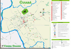
Cuiaba Tourist Map
Tourist street map of town
1863 miles away
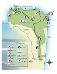
Fort Clinch State Park Map
Park map of Fort Clinch State Park in Amelia Island, Florida. Shows fort historic site, facilities...
1866 miles away
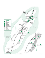
Stephen C. Foster State Park Map
Map of park with detail of trails and recreation zones
1867 miles away
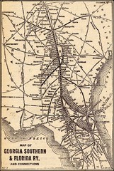
1913 Georgia Southern & Florida Railway Map
1867 miles away
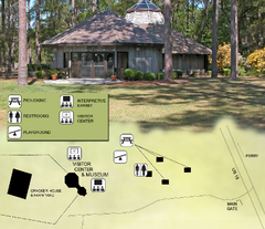
Forest Capital Museum State Park Map
Map of park with detail of recreation zones
1869 miles away
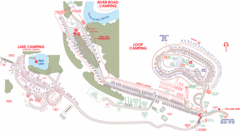
Suwanee Park Camping Map
1875 miles away
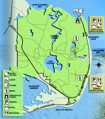
Bald Point State Park Map
Map of park with detail of trails and recreation zones
1876 miles away

