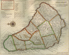
Old-time Map of Barbados
1156 miles away

Barbados Map
1156 miles away
Barbados Tourist Map
1156 miles away
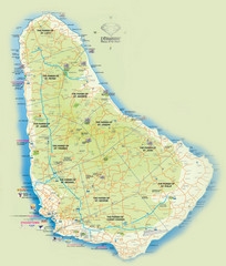
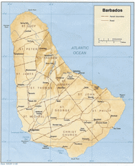
Barbados Tourist Map
Tourist map of Barbados. A bit fuzzy.
1156 miles away
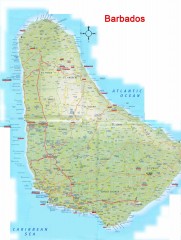
Barbados Road Map
Detailed road map of Barbados. Shows all towns. A scan of lower quality.
1156 miles away
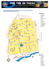
Huancayo Center Map
Map of city center with detail of local hostels
1157 miles away
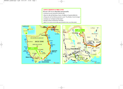
Basse-Terre Overview Map
Shows location of Hotel Le Jardin Malanga in southern Basse-Terre, Guadeloupe.
1157 miles away
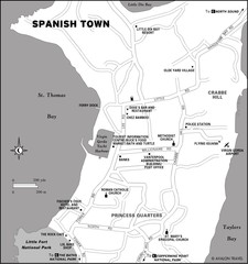
Spanish Town BVI Map
1158 miles away
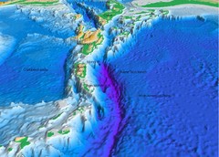
Atlantic Trench Bathymetric Map
1161 miles away
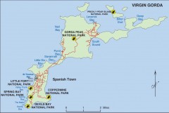
Map of Virgin Gorda
Map of Virgin Gorda in the British Virgin Islands. Shows national parks.
1161 miles away

Plymoth and enviorns Map
1162 miles away
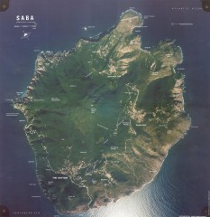
Saba aerial map
Aerial map of Saba. Shows major geological features and towns. Home of one of the world's...
1162 miles away

Montserrat lava flows Map
1164 miles away
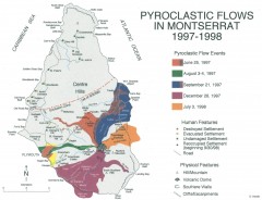
Pyroclastic flows in Montserrat 1997-1998 Map
Shows pyroclastic flows and destroyed settlements in 1997-1998.
1164 miles away
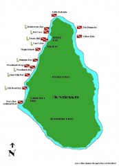
Montserrat Diving map
Diving map of Montserrat in the Caribbean. Shows all diving spots.
1164 miles away
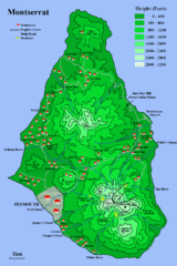
Montserrat Map
1165 miles away

"Santa Cruz Del Sur - CamagUey" Road Map
1165 miles away
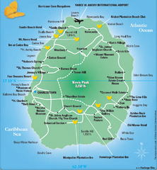
Nevis Tourist Map
Tourist map of Nevis Island, near St. Kitts. Shows inns, villages, and other points of interest.
1166 miles away
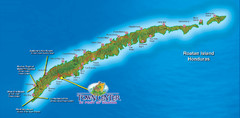
Roatan Island Tourist Map
1167 miles away

St. Kitts and Nevis Map
1168 miles away
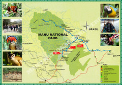
Manu National Park Map
1168 miles away

St. Kitts and Nevis dive sites Map
1169 miles away
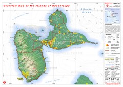
Guadeloupe Overview Map
Overview physical map of Basse-Terre and Grande-Terre Islands in the French Guadeloupe archipelago...
1170 miles away
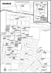
Huaraz Tourist Map
Cities and areas in Huaraz, Peru
1171 miles away
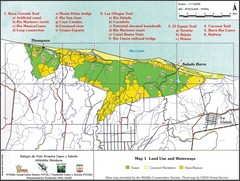
Refugio de Vida Silvestre Cuaro y Salado Mapa Map
Map of the Silvestre Cuaro and Salado Wildlife Refuge, Atlandida, Honduras.
1172 miles away
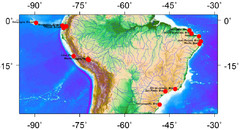
Latin America Climate Map
Latin America with Coastal Cities
1173 miles away
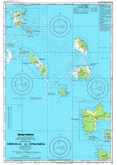
Leeward Islands Nautical Map
Nautical chart of the Leeward Islands in the Caribbean
1174 miles away
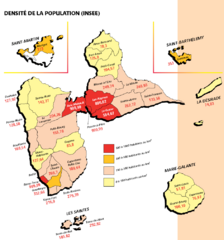
Guadeloupe Population Density Map
Population density of Guadeloupe Islands. A prefecture of France. Data as of 8/12/2003
1174 miles away
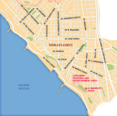
Lima Miraflores area Map
1174 miles away
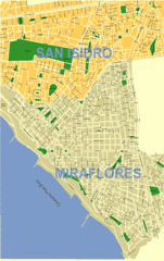
Lima City Map
City map of Lima, Peru showing San Isidro and Miraflores neighborhoods.
1174 miles away
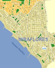
Miraflores Map
Map of Miraflores district in Lima
1175 miles away
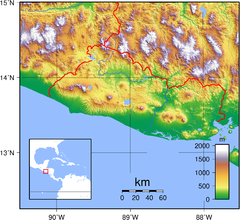
El Salvador topography Map
1177 miles away

Map of Anegada
Map of Anegada island of the British Virgin Islands.
1177 miles away
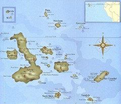
Galapagos Islands Tourist Map
Tourist map of the Galapagos Islands, Ecuador. Shows recreational activity locations.
1180 miles away
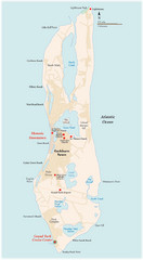
Grand Turk Island Map
Overview map of Grand Turk island, Turks and Caicos. Home of Cockburn Town, capital of Turks and...
1183 miles away

Leeward Islands Map
Guide to the Leeward Islands of the Caribbean, such as Saint Barthelemey, Saint Martin, Anguilla...
1184 miles away
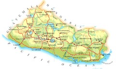
El Salvador Map
1188 miles away


