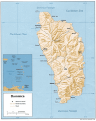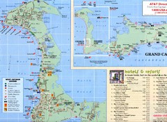
West Cayman Map
1130 miles away
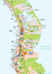
West Cayman detail Map
1131 miles away

Cayman Seven Mile Beach Tourist Map
1132 miles away
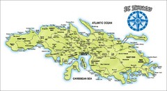
St. Thomas Island Map
Overview road map of island of St. Thomas in the U.S. Virgin Islands. Shows major roads, districts...
1133 miles away
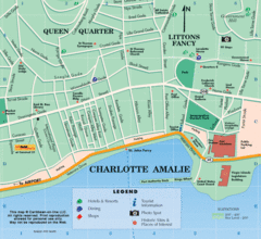
Charlotte Amalie U.S. Virgin Islands Map
1133 miles away

Holguin Map
1135 miles away
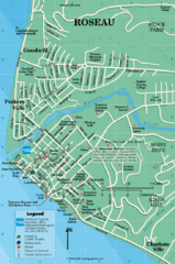
Roseau Dominica Map
1137 miles away
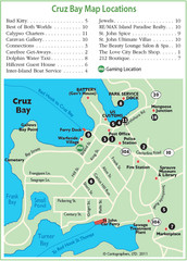
Cruz Bay St. John Map
1138 miles away
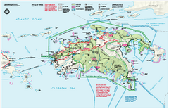
Virgin Islands National Park Map
Official NPS map of Virgin Islands National Park in the Virgin Islands. Map shows main island and...
1140 miles away
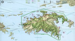
Virgin Islands National Park Tourist Map
1141 miles away
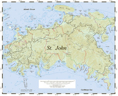
St. John Trail Map
Topographical trail map of St. John in the US Virgin Islands.
1141 miles away
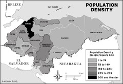
Honduras population density Map
1142 miles away
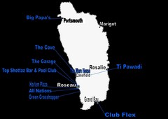
Dominica Nightlife Guide Map
1143 miles away
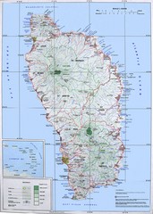
Dominica Map
Overview map of Dominica. Shows elevation.
1143 miles away
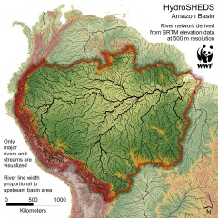
Amazon Basin Hydrosheds Map
Hydrosheds of the Amazon River Basin, the area drained by the Amazon River and its tributaries...
1145 miles away
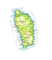
Dominica Map
1145 miles away
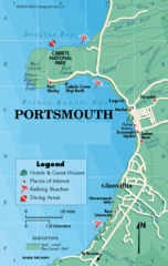
Portsmouth Dominica Map
1146 miles away
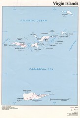
Map of the Virgin Islands
Map of the Virgin Islands
1146 miles away
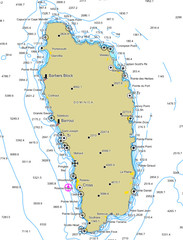
Dominica scuba sites Map
1146 miles away
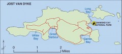
Jost Van Dyke map
Map of Jost Van Dyke island of the British Virgin Islands in the Caribbean.
1146 miles away
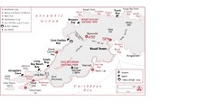
West Tortola Driving Tour Map
1146 miles away
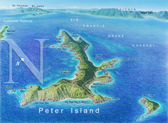
Peter Island BVI Map
1147 miles away

Las Tunas Map
1148 miles away
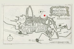
Bridgetown 1776 Map
1149 miles away

Bridgetown Tourist Map
Tourist map of central Bridgetown, Barbados. Shows shops and businesses.
1149 miles away
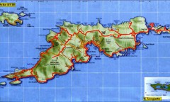
Tortola Island Map
1149 miles away
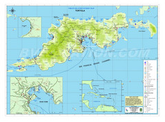
Tortola British Islands Tourist Map
Places of interest.
1149 miles away
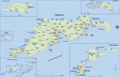
Map of Tortola Island
Tourist map of Tortola, the main island of the British Virgin Islands. Shows national parks and...
1149 miles away

St. Lawrence Tourist Map
Tourist map of town of St. Lawrence, Barbados
1150 miles away
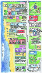
Holetown Tourist Map
Tourist map of town of Holetown
1151 miles away
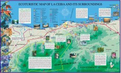
La Ceiba Ecotourism Map
Ecotourism map of La Ceiba, Honduras and its surroundings.
1151 miles away
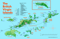
British Virgin Islands Tourist Map
Tourist map of British Virgin Islands with list of major attractions
1151 miles away
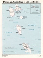
Dominica, Guadeloupe and Martinique Map
Overview map of Dominica, Guadeloupe, and Martinique islands.
1152 miles away

Cayos Cochios Islad Map
1152 miles away
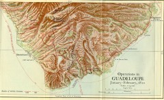
Guadeloupe British Military Operations 1810 Map
Map shows Guadeloupe British Military Operations by land and sea in 1810
1154 miles away

Barbados Tourist Map
1155 miles away
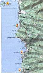
Bouillante West Coast Topo Map
Topo map of the west coast of island of Basse-Terre in the Guadeloupe Archipelago.
1155 miles away

"SibanicU - Las Tunas" Road Map
1156 miles away

Barbados Map
1156 miles away

