Western Australia State Barrier Fence Map
Map shows the Rabbit barrier fence built in 1901 in Burracoppin and Merredin just east of Perth.
2702 miles away
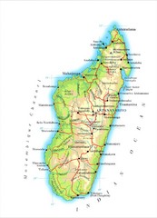
Madagascar Map
Guide to the African country of Madagascar
2714 miles away
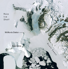
Ross Island McMurdo Station Area Landsat Map
Landsat mosaic map of the Ross Island / Ross Ice Shelf / U.S. McMurdo Station area
2716 miles away
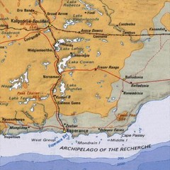
Esperance, Australia Tourist Map
A map of the Esperance region in Australia.
2719 miles away
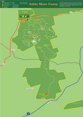
Addo Elephant National Park Map
Addo Main Game Area Tourist Road Map for Addo Elephant National Park, South Africa. Map shows...
2719 miles away
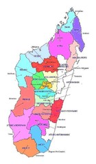
Madagascar regions Map
2724 miles away
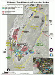
McMurdo and Scott Base Area Recreation Route Map
Shows roads around McMurdo Station (US) and Scott Base (New Zealand) Antarctic research stations on...
2727 miles away

Tiffindell Ski Trail Map
Trail map from Tiffindell.
2729 miles away
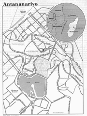
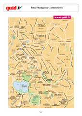
Antananarivo, Madagascar Tourist Map
2730 miles away
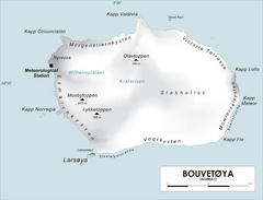
Bouvet Island Map
Map of Bouvet Island in the Southern Atlantic Ocean. Shows peaks and meteorological station.
2731 miles away
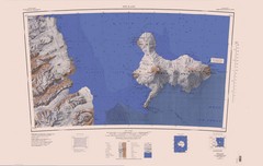
Ross Island Topo Map
Topo map of Ross Island, Antarctica. Shows US Mcmurdo Station, New Zealand Scott Base and volcanic...
2732 miles away

Madagascar land cover and elevation Map
2735 miles away

Tsitsikamma National Park Map
2736 miles away
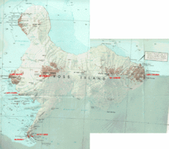
Ross Island Map
Topo map of Ross Island, home of the US McMurdo Station, Mt. Erebus, Mt. Terror, Cape Evans, Cape...
2740 miles away
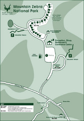
Mountain Zebra National Park Map
2751 miles away
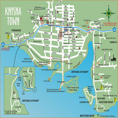
Knysna Town Map
Town map of Knysna, South Africa
2757 miles away
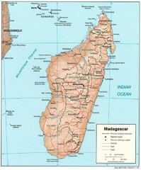
Madagascar Roads and Trains Map
Cities, roads and train lines.
2758 miles away
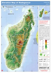
Madagascar Elevation Map
Shows color-coded elevation of island of Madagascar. Shows tropical cyclone Gamede track as of Feb...
2758 miles away
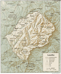
Lesotho Map
Guide to the African country of Lesotho
2759 miles away
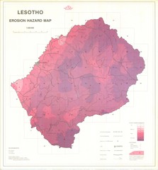
Lesotho Erosion Hazard Map
Guide to erosion in Lesotho
2762 miles away
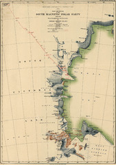
Map of Shackleton’s 1907-1909 Antarctic...
Eric Stewart Marshall's map of Shackleton's "Nimrod" expedition of 1907-09.
2770 miles away
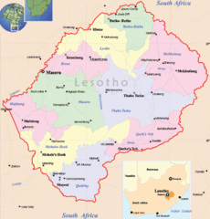
Lesotho Map
Cities, roads, provinces and borders are labeled on this map.
2771 miles away
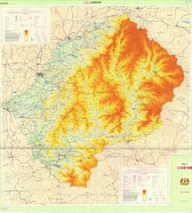
Lesotho Physical Map
Physical map of Lesotho. Shaded by elevation.
2771 miles away
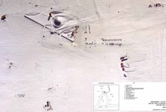
Amundsen Scott South Pole Station Aerial Map
Aerial photo map of the US Amundsen Scott South Pole Station at the South Pole, Antarctica
2772 miles away
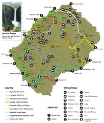
Lesotho tourism routes Map
2772 miles away
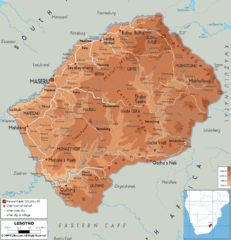
Lesotho physical Map
2776 miles away
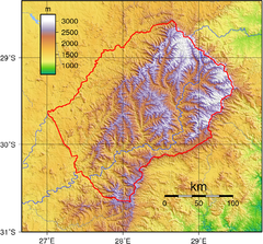
Lesotho topo Map
2778 miles away
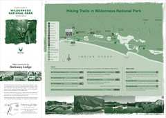
Wilderness National Park Map
2779 miles away
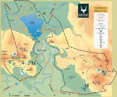
Camdeboo National Park Map
2780 miles away
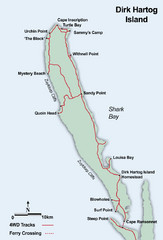
Dirk Hartog Island Map
2788 miles away

Swaziland Political Map
Guide to the African country of Swaziland
2795 miles away
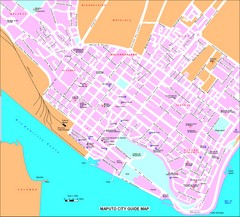
Maputo City Map
City map of Maputo with tourist attractions
2801 miles away
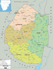
Swaziland political Map
2802 miles away
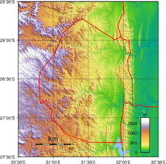
Swaziland topography Map
2804 miles away
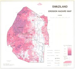
Swazilad soil erosion Map
2804 miles away
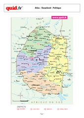
Swaziland Regional Map
Map of country with detail of regional divides
2810 miles away
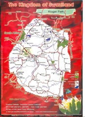
Swaziland Tourist Map
Cities and areas in Swaziland
2810 miles away
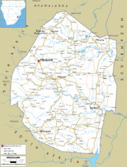
Swaziland road Map
2811 miles away
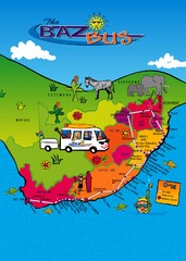
Baz Bus Map
Covering the entire East Coast of South Africa including: The Garden Route, Swaziland, Drakensberg...
2814 miles away

