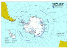
Antarctica Map
Overview map of Antarctica and the Southern ocean
2432 miles away

Denmark, Western Australia East District Guide Map
The eastern district of Denmark, Western Australia
2480 miles away

Denmark, Western Australia Guide Map
Locations and areas in Denmark, Western Australia
2480 miles away
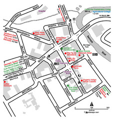
Denmark Western Australia Tourist Map
Tourist map of town of Denmark, Western Australia. Shows accommodations and restaurants.
2480 miles away
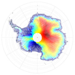
Antarctica Land and Ice Elevation Map
The colors on the map above represent ICESat’s measurements of Antarctica’s topography...
2487 miles away
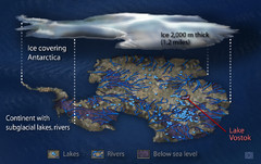
Antarctic Lakes and Rivers Map
Sub-glacial lakes, river systems.
2510 miles away
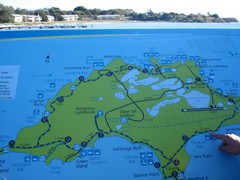
Rottnest Island Map
Tourist map of Rottnest Island, Australia. From photo.
2553 miles away
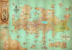
Mapa imaginario del Pais de HASARD Map
2557 miles away
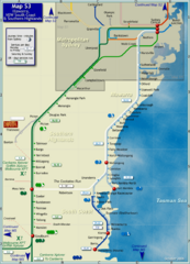
Illawarra Rail Map
Map of rail system throughout Illawarra, New South Wales South Coast, and Southern Highlands
2565 miles away
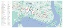
Perth City Map
City map of Perth with information and attractions
2569 miles away
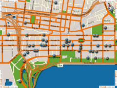
Perth Hotel Map
2569 miles away
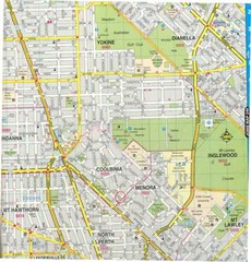
Central Perth, Australia City Map
2569 miles away
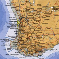
Perth, Australia Region and City Map
2569 miles away
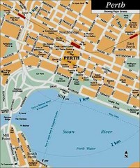
Perth, Australia City Map
2569 miles away
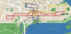
Perth, Australia Public Transportation Map
2569 miles away
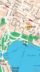
Central Perth, Australia City Map
2569 miles away
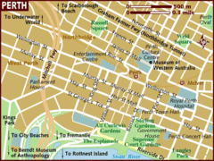
Perth, Australia City Map
2569 miles away
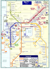
Perth Rail Map
Map of rail system throughout Perth and surrounding area
2570 miles away
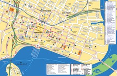
Perth Street Map
Tourist map of Perth, with detail of streets, hotels and tourist attractions
2570 miles away
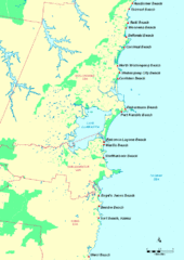
Illawarra, Australia Beach Tourist Map
2573 miles away
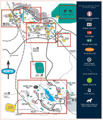
Whiteman Park Map
2579 miles away
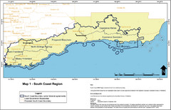
Australia South Coast Region Map
The South Coast region of Australia and proposed new boundaries by Natural Resources Management...
2601 miles away
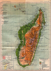
1895 Madagascar Map
Historic map of Madagascar
2641 miles away
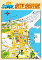
Durban City Center Map
Tourist map of central Durban, South Africa
2648 miles away
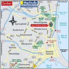
Moses Mabhida Stadium, Durban, South Africa Map
Location Map of Moses Mabhida Stadium in Durban, Kwa-Zulu Natal, South Africa. Venue for 2010...
2649 miles away
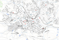
Grahamstown Map
Street map of Grahamstown
2651 miles away
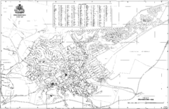
Grahamstown Street Map
Street map of Grahamstown, South Africa. Home of Rhodes University.
2652 miles away
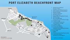
Port Elizabeth Beachfront Map
2657 miles away
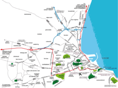
Port Elizabeth Street Map
Port Elizabeth, South Africa tourist map showing streets, shopping, parks and recreation.
2657 miles away
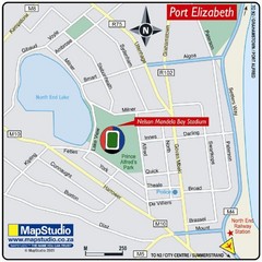
Nelson Mandela Bay Stadium, Port Elizabeth, South...
Location Map for Nelson Mandela Bay Stadium, Port Elizabeth, Eastern Cape, South Africa. 2010...
2659 miles away

Bruce Rock Town Map
2665 miles away
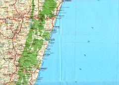
Antananarivo region Map
2680 miles away

Jeffreys Bay Map
Street map of Jeffreys Bay
2681 miles away

Jeffreys Bay Tourist Map
Tourist map of Jeffreys Bay (Jeffreysbaai), South Africa. Shows points of interest and has street...
2681 miles away
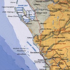
Geraldton, Australia Region Map
2687 miles away
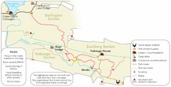
Addo Elephant National Park Trails Map
2690 miles away
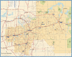
Wheatbelt Central Western Australia Map
Map of the central wheatbelt area near Merredin, Western Australia
2690 miles away
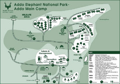
Addo Elephant National Park Map
2691 miles away

