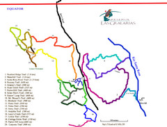
Reserva Las Gralarias Trail Map
2763 miles away
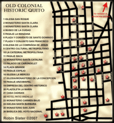
Old Colonial Historic Quito Map
Street map of Old Colonial area of Quito
2767 miles away
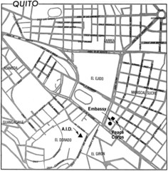
Quito, Ecuador Tourist Map
2767 miles away
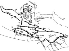
La Colina to Guapulo Map
Lovely walk from the hill top with wonderful views into the old neighborhood of Guapulo. 2.7 miles...
2768 miles away
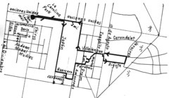
Quito Ecuador Townscape Walks Map
A book of hand-drawn maps with sketches for 12 great walks I designed in Quito, Ecuador.
2769 miles away
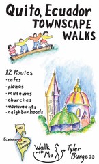
Quito Ecuador Townscape Walks Map
A book of hand-drawn maps with sketches for 12 great walks I designed in Quito, Ecuador.
2769 miles away
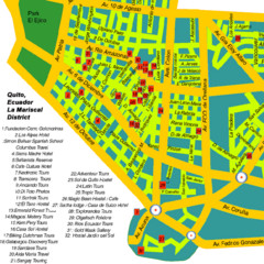
Mariscal District Quito Map
Tourist map of La Mariscal district of Quito
2770 miles away
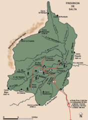
El Rey National Park Map
Map of park with detail of trails
2774 miles away
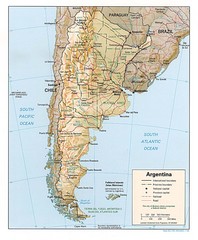
Argentina Tourist Map
2774 miles away
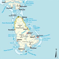
Raiatea (Hava'i) island Map
2777 miles away
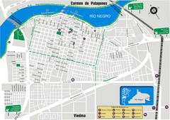
Viedma Tourist Map
Tourist street map of city
2787 miles away
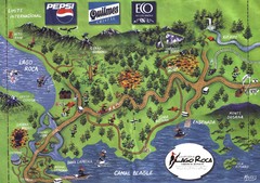
Tierra del Fuego National Park Camping Map
Map of campsites in Lago Roca area of park
2797 miles away
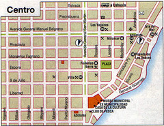
Rio Grande Centro Map
Street map of city center
2799 miles away
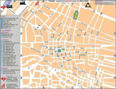
Potosi Center Map
Tourist street map of downtown Potosi
2804 miles away
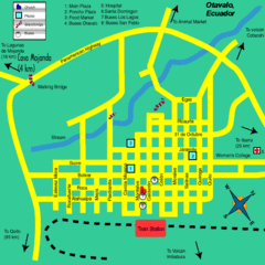
Otavalo City Map
2804 miles away
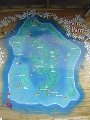
Bora Bora Map
Map of island from photo of sign
2804 miles away
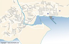
Ushuaia City Map
Street map of city
2808 miles away
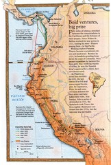
Pizzaro's South American Exploration routes...
2808 miles away
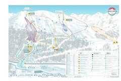
Cerro Castor Ski Trail Map
Trail map from Cerro Castor.
2810 miles away
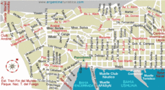
Ushuaia City Map
Streets and roads are labeled on map.
2810 miles away
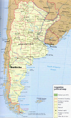
Argentina Tourist Map
Cities and areas in Argentina
2817 miles away
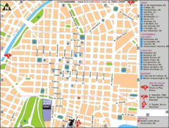
Cochabamba Ceter Map
Tourist street map of downtown Cochabamba
2832 miles away
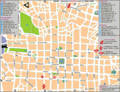
Downtown Sucre Map
Tourist street map of downtown Sucre
2847 miles away
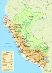
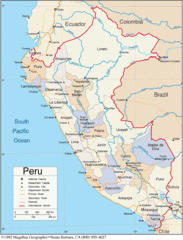
Peru Tourist Map
Roads, cities and landmarks in Peru
2886 miles away
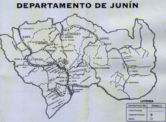
Junin Guide Map
2893 miles away

Parque Nacional Baritu Map
Map of park with detail of trails
2906 miles away
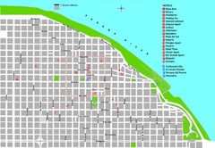
Rosario Tourist Map
Tourist street map of downtown area with detail of local hotels
2919 miles away
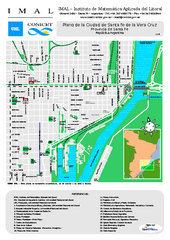
Santa Fe de la Vera Cruz Tourist Map
Tourist street map
2926 miles away
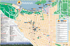
Parana Tourist Map
Street tourist map of city
2936 miles away
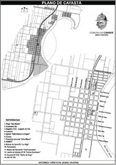
Cayasta Town Map
Street map of town
2961 miles away
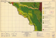
Forest Map of the Colombian Amazonia
2967 miles away
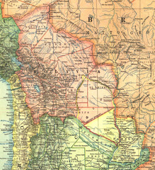
Bolivia and Paraguay in 1921 Map
1921 National Geographic Map of Bolivia and Paraguay before of the 1932-35 bloody war between those...
2968 miles away
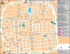
Santa Cruz Tourist Map
Tourist map of city center
3005 miles away
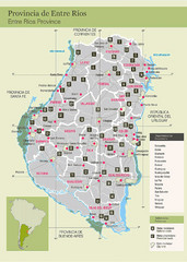
Entre Rios Province Map
Map of province with detail of main towns
3012 miles away

