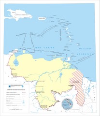
Official boundaries of Venezuela Map
All the official boundaries of Venezuela including the maritime ones.
3684 miles away
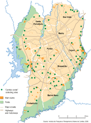
Curitiba City Map
Curitiba city overview map
3692 miles away
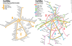
Curitiba Public Transportation Map
3692 miles away
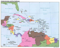
Central American and Caribbean Islands Map
Map shows countries, capital cities and major cities of Central America, Caribbean and the northern...
3693 miles away
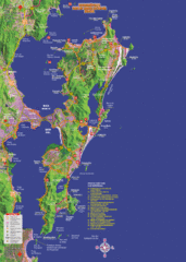
Florianopolis Tourist Map
Tourist map of of Florianopolis, Brazil, known as Floripa. A popular beach party destination
3696 miles away
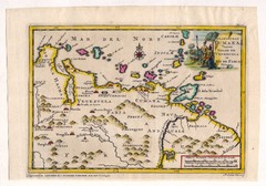
Antique Venezuela map
Very rare medium size map by Pieter van der Aa, published in his description of the Spanish...
3710 miles away
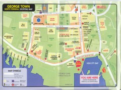
Georgetown Grand Cayman Shopping map
Shopping map of Georgetown, Grand Cayman Island. Georgetown is the capital of the Cayman Islands.
3718 miles away
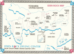
Eden Rock Underwater Reef Map
Underwater diving map of Eden Rock Reef in Grand Cayman
3719 miles away
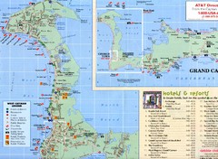
West Cayman Map
3720 miles away

Cayman Resort Map
3720 miles away

Cayman Seven Mile Beach Tourist Map
3721 miles away
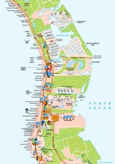
West Cayman detail Map
3721 miles away

Grand Cayman Tourist Map
3725 miles away
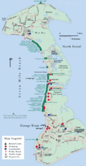
Cayman Islands Tourist Map
3725 miles away

Cayman Islands Map
3725 miles away
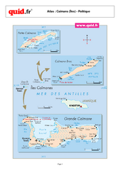
Cayman Islands Map
Map of island collection with detail of main cities
3725 miles away
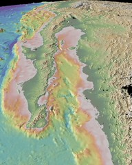
Gulf of California topograpuy Map
3726 miles away
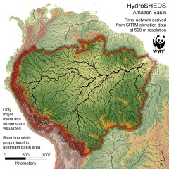
Amazon Basin Hydrosheds Map
Hydrosheds of the Amazon River Basin, the area drained by the Amazon River and its tributaries...
3728 miles away

Venezuela Indigenes populations Map
3744 miles away
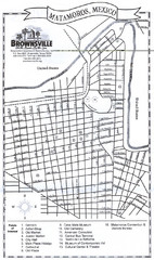
Matamoros Map
City map of Matamoros, Mexico.
3749 miles away
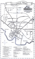
Brownsville Tourist Map
Tourist map of Brownsville, Texas. Shows points of interest.
3752 miles away
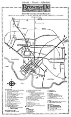
Brownsville Tourist Map
Tourist map of Brownsville with detail of local attractions
3752 miles away

Venezuela relief Map
3756 miles away
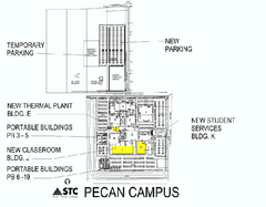
South Texas College - Pecan Campus Map
South Texas College Campus Map - Pecan Campus. All buildings shown.
3762 miles away

Eisenhower, Texas State Park Map
3766 miles away

Negril tourist map (updated April 2008)
3766 miles away
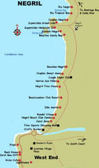
Negril Coastal Map
Coastal map of this Jamaican town.
3766 miles away
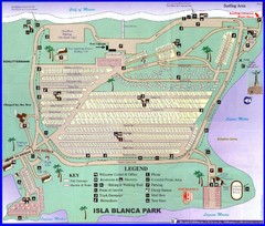
Isla Blanca Beach Park Map
Map of Isla Blanca Beach Park. Shows RV hookups and spots.
3768 miles away
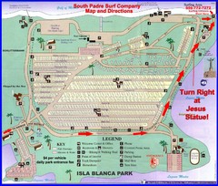
Isla Blanca Park Map
3768 miles away
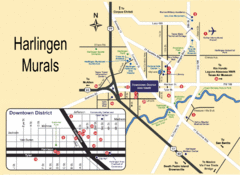
Harlingen Mural Map
A Guide to Murals in Harlingen, TX
3769 miles away
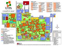
The University of Texas - Pan American Campus Map
The University of Texas - Pan American Campus Map. All buildings shown.
3770 miles away
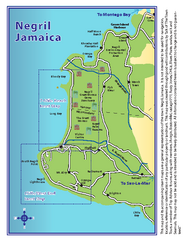
Negril Tourist and Beach Maps Map
Tourist maps and beach maps of Negril, Jamaica. Includes overview map, Negril 7-mile Beach map...
3770 miles away
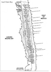
South Padre Island Street Map
3770 miles away
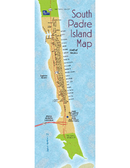
South Padre Island Map
Street map of South Padre Island, Texas. Shows beach names.
3770 miles away
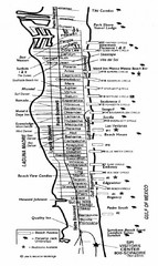
South Padre Island Street Map
Map of Jim's Beach Service of South Padre Island, Texas
3771 miles away
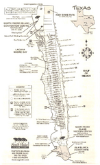
South Padre Island Map
Tourist map of South Padre Island
3771 miles away
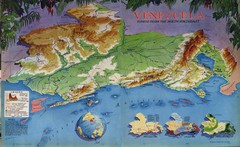
Venezuela from the North Map
Shows shaded relief of Venezuela with three thematic maps: population, states and physiograpy
3773 miles away
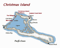
Christmas (Kiribati) island Map
3775 miles away

Venezuela Map
3779 miles away

Falcon, Texas State Park Facility and Trail Map
3780 miles away

