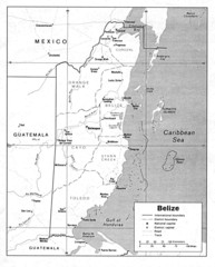
Belize (Political) U.S. Department of State 1990...
3370 miles away
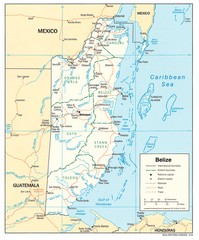
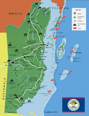
Belize Tourist Map
3370 miles away
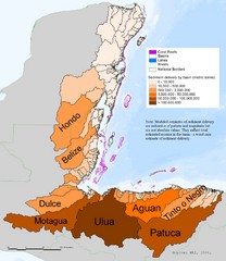
Annual Sediment Delivery from MAR Watersheds Map
This map shows which basins (or watersheds) deliver the most sediment on an annual basis to the...
3370 miles away
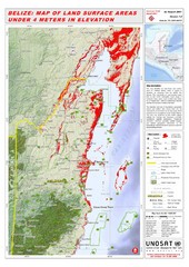
Belize Land Surface Areas Under 4 Meters Map
This map shows elevation areas in Belize under 4 meters in Red. This was the limit for the storm...
3370 miles away
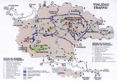
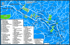
Guanajuato Mexico Tourist Map
Guanajuato City traffic map showing places of interest and traffic flow.
3373 miles away
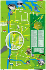
Iguacu Falls Tourist Map
Tourist map of Iguacu Falls, Brazil. Shows points of interest.
3374 miles away
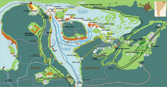
Iguazu National Park Map
Tourist map of park
3376 miles away
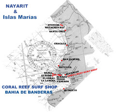
Nayarit Surf Map
Surf map of the state of Nayarit
3376 miles away
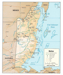
Belize Guide Map
3377 miles away
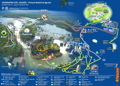
Iguasu Park Map
3377 miles away
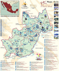
Sierra Gorda de Queretaro Tourist Map
Tourist map of Sierra Gorda de Querétaro, Mexico. Shows photos of points of interest. In...
3378 miles away
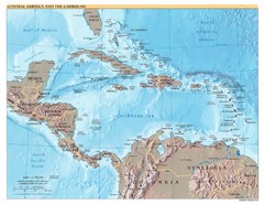
Central America Map
3378 miles away
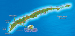
Roatan Island Tourist Map
3381 miles away
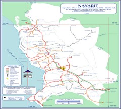
Nayarit Map
3383 miles away
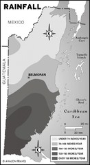
Belize rainfall Map
3390 miles away
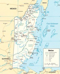
Belize Map
Detailed map of Belize showing cities, roads, railroads and boundaries.
3390 miles away
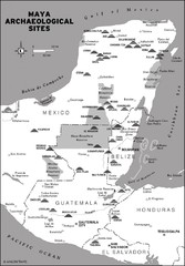
Mayan Archaeological sites in Belize Map
3392 miles away
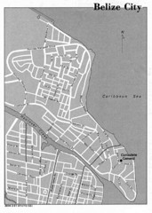
Belize City - U.S. Department of State, 1981 Map
3398 miles away
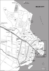
Belize City map
Detailed map of the Belize City road system.
3398 miles away

Turneffe Islands atoll Map
3399 miles away
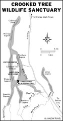
Crooked Tree Wildlife Sanctuary Map
3405 miles away
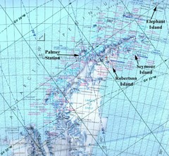
Antarctic Peninsula Map
Physical map of Antarctic Peninsula
3409 miles away

Age of undersea fracture zones Map
3411 miles away
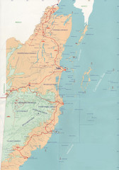
Belize Map
3415 miles away

San Pedro Tourist Map
Tourist map of town of San Pedro on island of Ambergris Caye, Belize
3430 miles away
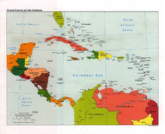
Central American and the Caribbean Political Map
3436 miles away
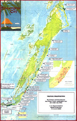
Ambergris Caye Tourist Map
Tourist map of island of Ambergris Caye, Belize. Inset shows town of San Pedro.
3440 miles away
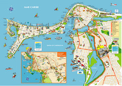
Cartagena de Indias, Colombia Map
3448 miles away
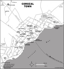
Corozal Town Map
3448 miles away
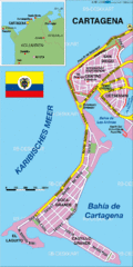
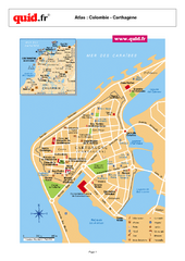
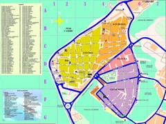
Cartagena Tourist Map
Streets and parks.
3449 miles away
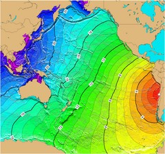
Tsunami Time Travel to Chile Map
The amount of time it will take for a tsunami in Chile to head West toward Australia. Based on the...
3449 miles away

Ames Range Topo Map
Topo relief map of the Ames range in western Marie Byrd Land, Antarctica. Shows Mt. Andrus 9,770...
3453 miles away
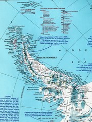
Antarctic Peninsula Map
Shows stations and named geographic features of the Antarctic Peninsula. Scanned.
3453 miles away
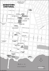
Downtown Chetumal Map
3457 miles away
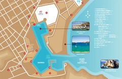
Cabo San Lucas Tourist Map
3459 miles away
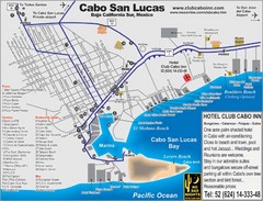
Cabo San Lucas Tourist Map
3459 miles away

