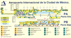
Mexico City Airport Map
Terminal map of Mexico City Airport (MEX).
3293 miles away
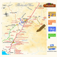
Wine Route Map
Map of various wine tour routes throughout Mexico
3301 miles away
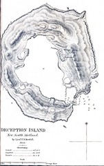
Deception Island Map
3301 miles away

Route of Cortez Map
3301 miles away

Mexico City (Distrito Federal) Map - North
Detailed street map of the north part of Mexico City (Distrito Federal). In Spanish.
3305 miles away
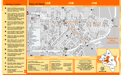
Obera Tourist Map
Tourist street map of city
3306 miles away
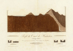
Huehuetoca Canal, Mexico Map
An old physical description of the Huehuetoca Canal in Mexico
3307 miles away
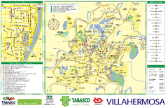
Villahermosa tourist map
3309 miles away
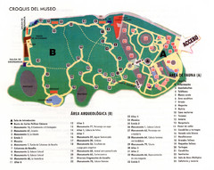
La Venta Park Map
3310 miles away
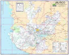
Jalisco Road Map
Detailed road map of the state of Jalisco. In Spanish.
3311 miles away
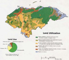
Honduras Land Use and Land Utilization, 1983 Map
3313 miles away
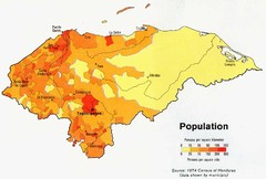
Honduras Population Map, 1974 Census Map
3313 miles away
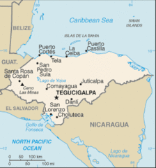
Honduras Map
3313 miles away
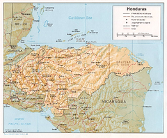
Honduras Relief Map, 1985 Map
3313 miles away
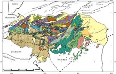
Honduras Geology Map
3313 miles away
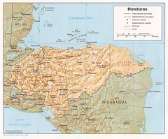
Honduras Tourist Map
3313 miles away
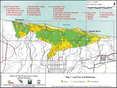
Refugio de Vida Silvestre Cuaro y Salado Mapa Map
Map of the Silvestre Cuaro and Salado Wildlife Refuge, Atlandida, Honduras.
3314 miles away
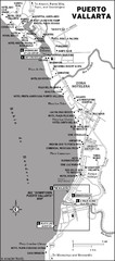
Puerto Vallarta Map
3315 miles away
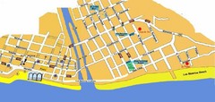
Puerto Vallarta, Mexico Beach Tourist Map
3316 miles away
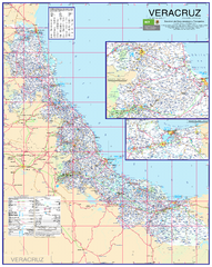
Veracruz Road Map
Detailed road map of the state of Veracruz. Inset of Veracruz city surroundings. In Spanish.
3317 miles away
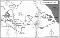
Invasion of Veracruz to Mexico City Historical Map
3321 miles away
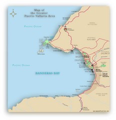
Puerto Vallarta Map
A JPG map of Puerto Vallarta. It shows the various developments in the larger area of Puerto...
3322 miles away
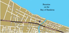
Bucerias, Mexico Tourist Beach Map
3322 miles away
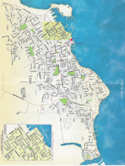
Veracruz City Map
Veracruz city map with Language Immersion School highlighted
3324 miles away

Honduras North coast Map
3327 miles away
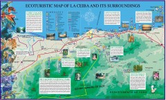
La Ceiba Ecotourism Map
Ecotourism map of La Ceiba, Honduras and its surroundings.
3331 miles away
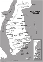
Placencia village Map
3333 miles away
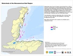
Watersheds of the Mesoamerican Reef Region Map
Map of watersheds or basins on map without elevation data
3340 miles away
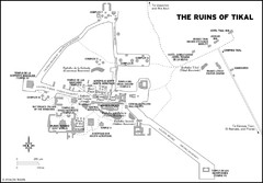
Tikal ruins Map
3341 miles away

Cayos Cochios Islad Map
3353 miles away
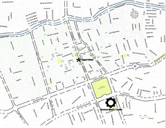
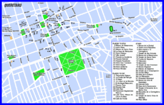
Queretaro City Map
City map of Queretaro with places of interest
3354 miles away
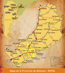
Misiones Province Map
Map of province with detail of main cities and towns
3357 miles away
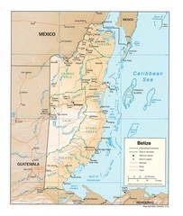
Belize Map
Map of Belize showing cities, rivers and district boundaries.
3361 miles away
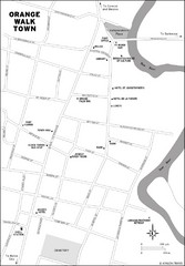
Orange Walk Town Map
View This Map
3363 miles away
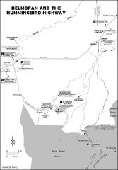
Belmopan and the Hummingbird highway Map
3365 miles away
Alexander Island Map
Topographic map of Alexander Island
3367 miles away
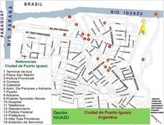
Puerto Iguazu Tourist Map
Tourist street map
3370 miles away
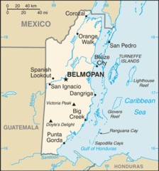
Belize Peaks and Rivers Map
3370 miles away

