Paraguay political Map
3152 miles away
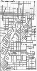
Guatemala City, Guatemala Tourist Map
3152 miles away
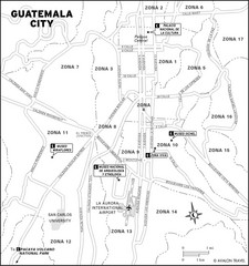
Guatemala City Tourist Map
Places of interest.
3152 miles away
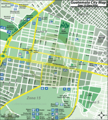
Guatemala City Tourist Map
3152 miles away
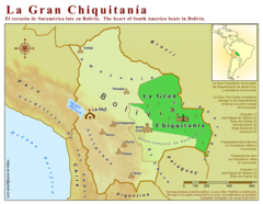
La Gran Chiquitania Map
3153 miles away
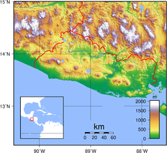
El Salvador topography Map
3154 miles away
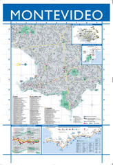
Montevideo Map
Detailed street map of Montevideo, Uruguay.
3162 miles away
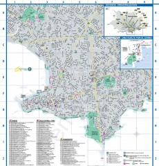
Montevideo Tourist Map
Street map of Montevideo, Uruguay. Shows museums, theaters, and monuments.
3163 miles away
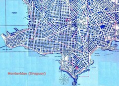
Montevideo Uruguay Map
3163 miles away
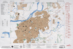
Choluteca Honduras Map
3168 miles away
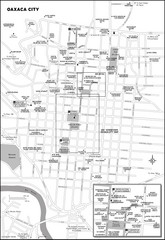
Oaxaca City, Mexico City Map
3172 miles away

Paraguay Map
Map of Paraguay showing cities, roads, railroads and borders.
3174 miles away
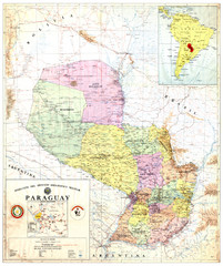
Official map of Paraguay
Official map of Paraguay, year 1993
3174 miles away
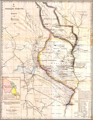
Wartime map of the Chaco
This 1933 map of the Chaco was made during the Chaco War between Paraguay and Bolivia and used by...
3174 miles away
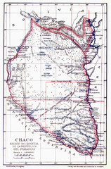
All the failed proposals to delimit the Chaco Map
Here you can see all the proposals to delimit the Chaco between 1879 and 1894. Everyone of them...
3174 miles away
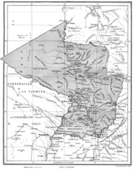
Map of Paraguay before the Chaco War
This is an internationally accepted map of Paraguay before the Chaco War (1932-35) made by Scottish...
3174 miles away
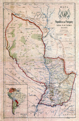
Map of Paraguay before the Chaco War
This dateless map of Paraguay that I scanned shows all the local claim over the Chaco (the northern...
3174 miles away
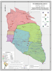
Ecological Region of the Chaco Map
This is the ecological Region of the Chaco shared between Paraguay and Bolivia
3174 miles away
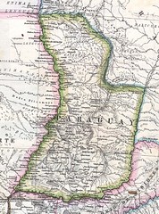
Paraguay Political Map 1875
Political map of Paraguay in 1875. Part of "Mapa Original de la Republica Argentina y Estados...
3174 miles away
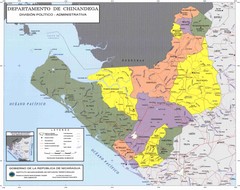
Political divisions of northeastern Nicaragua Map
3178 miles away

Paraguay Map
3182 miles away
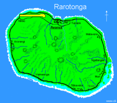
Rarotonga Island Map
Clear map marking rivers and towns.
3186 miles away
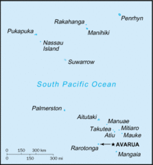
Cook Islands Tourist map
3186 miles away
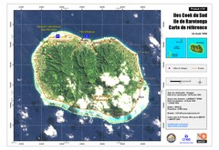
Rarotonga Island Map
Reference map of Rarotonga Island. In French.
3186 miles away
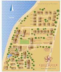
Edgewater Resort, Rarotonga, Cook Is Map
3190 miles away
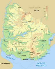
Uruguay physical Map
3190 miles away
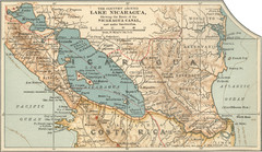
Early map of Nicaragua Canal
This was the original route for a canal across Central America
3192 miles away
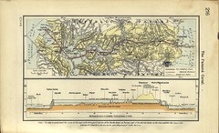
Panama Canal Historical Atlas, 1911 Map
3198 miles away
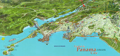
Panama City Map
Pictorial map of Panama City
3198 miles away
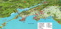
Panama City Map
Pictorial map of Panama city with prime real estate investment areas highlighted
3198 miles away
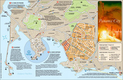
Panama City Map
Panama City map with a lot of tourist information
3199 miles away
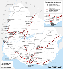
Uruguay Railroad system Map
3200 miles away

The Amazon Tourist Map
The Amazon in South America
3201 miles away
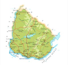
Uruguay Map
3202 miles away
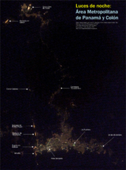
Panama at nite Map
3204 miles away
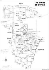
Copan Ruins Map
3204 miles away

