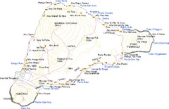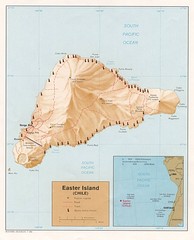
Easter Island Tourist Map
0 miles away
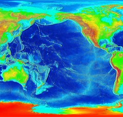
Pacific Elevation Map
Elevation Map of the Pacific Ocean and surrounding continents
707 miles away
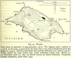
Historic Pitcairn Islands Map
Guide to Pitcairn Islands, a British overseas territory
1195 miles away
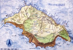
Pitcairn Island Map
1294 miles away
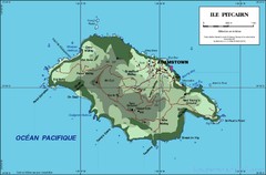
Pitcairn Island Map
1295 miles away
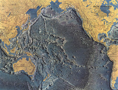
Pacific Ocean Floor Map
1609 miles away

Juan Fernandez Islands Topographic Map
Shows Isla Mas Aferua and Isla Mas Atierra
1812 miles away
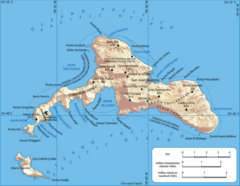
Robinson Crusoe Island Map
Map of Robinson Crusoe Island, Archipelago Juan Fernández, Chile. Shaded relief.
1868 miles away
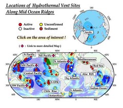
Global Map of Hydrothermal Vents
Map of underwater hydrothermal vents. Could not get to original to get more detailed areas. Vents...
1871 miles away

Floreana Island Map
2183 miles away

Fernandina Island Map
2200 miles away

Isabela Island Map
2204 miles away
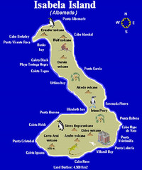
Isla Isabela Tourist Map
Tourist map of Isla Isabela in the Galapagos, Ecuador. Shows coastal features and wildlife.
2205 miles away

Galapagos Islands Map
2214 miles away
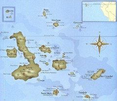
Galapagos Islands Tourist Map
Tourist map of the Galapagos Islands, Ecuador. Shows recreational activity locations.
2230 miles away

San Cristobal Island Map
2248 miles away
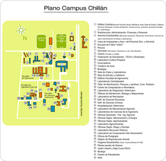
Universidad de Concepción Chillan Campus...
Campus map
2269 miles away
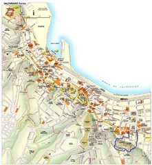
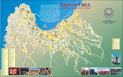
Valparaiso Tourist Map
Tourist map of central Valparaiso, Chile. Shows restaurants, bars, and other points of interest...
2283 miles away
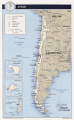
Chile Tourist Map
2295 miles away
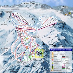
Valle Nevado Ski Resort Trail Map
Trail Map for Valle Nevado Ski Resort in Chile. Map includes lifts, mountain elevations and ski...
2295 miles away

