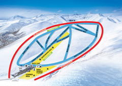
Roundhill Ski Trail Map
Trail map from Roundhill.
2332 miles away
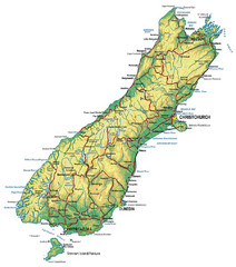
South Island Map
Map of South Island with cities detailed
2341 miles away
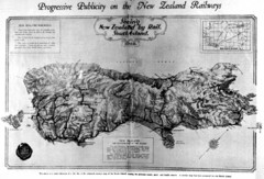
South Island New Zealand Rail Map
Contour map of the South Island, 1929
2341 miles away
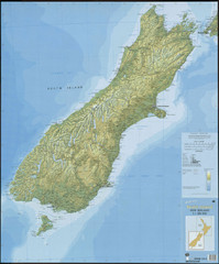
South Island New Zealand Map
Elevation map of South Island, New Zealand
2341 miles away
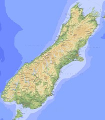
South Island Map
Physical map of South Island, New Zealand
2341 miles away
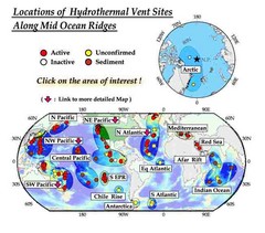
Global Map of Hydrothermal Vents
Map of underwater hydrothermal vents. Could not get to original to get more detailed areas. Vents...
2347 miles away
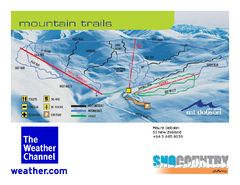
Mount Dobson Trail Map
Ski trail map or Mt. Dobson
2347 miles away
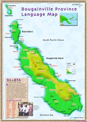
Bougainville Province language Map
2348 miles away
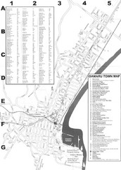
Oamaru Tourist Map
Tourist map of Oamaru, New Zealand. Has street index and shows points of interest.
2383 miles away
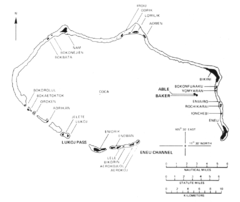
Bikini atoll Map
2393 miles away
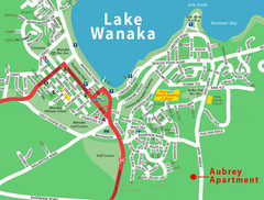
Wanaka Town Map
Street map of town of Wanaka
2409 miles away
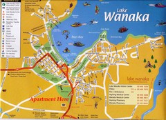
Wakana Town Map
Street map of Wanaka
2409 miles away
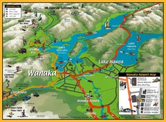
Wanaka Area Tourist Map
2409 miles away
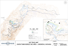
Snowfarm Nordic Ski Trail Map
Trail map from Snowfarm.
2409 miles away
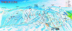
Treble Cone Trail Map
Ski trail map of Treble Cone mountain
2413 miles away
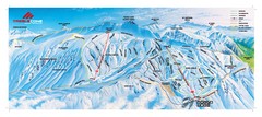
Treble Cone Trail Map
Ski trails on Treble Cone Mountain
2413 miles away
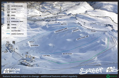
Snow Park Ski Trail Map
Trail map from Snow Park.
2421 miles away
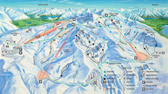
Cardrona Ski Trail Map
Trail map from Cardrona.
2423 miles away

Fraser Island Map
2428 miles away
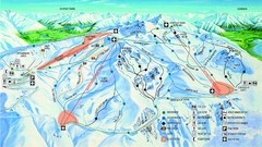
Cardrona Trail Map
2429 miles away
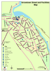
Arrowtown Street Map
2431 miles away
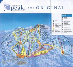
Coronet Peak Ski Trail Map
Trail map from Coronet Peak.
2433 miles away
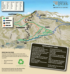
Coronet Peak Mountain Bike Trail Map
Mountain biking trail map for Coronet Peak
2433 miles away
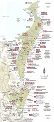
Campground Map Great Sandy National Park
2435 miles away
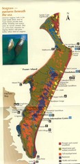
Fraser Island Map
Shows vegetation on Fraser Island, Australia the largest sand island in the world.
2435 miles away
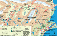
Otago Central Map
Otago map with detail of regional towns, rail station stops, and highways
2440 miles away
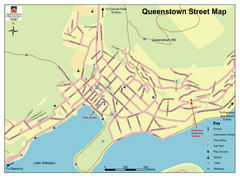
Queenstown Map
Street map of Queenstown
2441 miles away
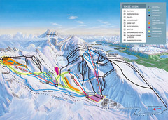
The Remarkables Ski Trail Map
Trail map from The Remarkables.
2443 miles away
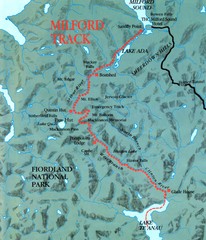
Milford Track Map
Map of Milford Track walking trail
2455 miles away
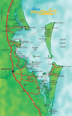
Moreton Bay, Australia Beach Map
2460 miles away
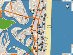
Surfers Paradise Hotel Map
2463 miles away
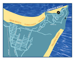
Wategos Beach, Australia Beach Map
2463 miles away
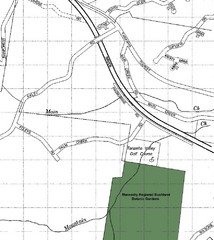
Maroochy Regional Bushland Botanic Garden in...
Map shows area surrounding the Maroochy Regional Bushland Botanic Garden in Tanawha, Queensland...
2464 miles away
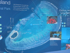
Lady Musgrave Island Map
Photo of map showing isliand and Lady Musgrave Reef
2464 miles away
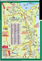
Byron Bay Tourist Map
2465 miles away
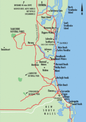
Gold Coast, Australia Beach Map
2467 miles away
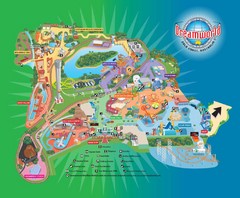
Dreamworld Visitor Map
Dreamworld amusement park visitor map.
2467 miles away
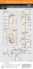
Brighton Transit Map
2473 miles away
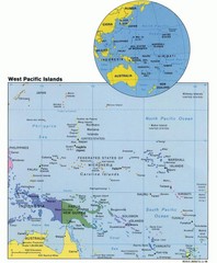
West Pacific Islands Map
Guide to the island nations of the West Pacific, such as the Federated States of Micronesia...
2473 miles away

