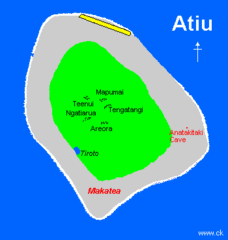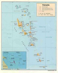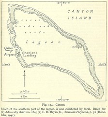
Kanton atoll Map
782 miles away
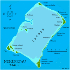
Nukufetau atoll Map
824 miles away
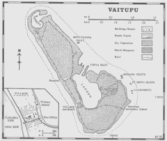
Vaitupu atoll Map
825 miles away
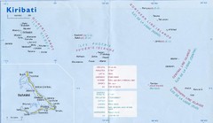
Kiribati Overview Map
Overview map of Pacific country of Kiribati. Kiribati is a Micronesian country made up of 33 low...
892 miles away
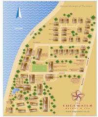
Edgewater Resort, Rarotonga, Cook Is Map
897 miles away
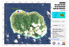
Rarotonga Island Map
Reference map of Rarotonga Island. In French.
900 miles away
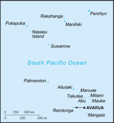
Cook Islands Tourist map
900 miles away
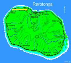
Rarotonga Island Map
Clear map marking rivers and towns.
901 miles away

Nui atoll Map
922 miles away

Niutao island Map
955 miles away

Nanumea atol Map
1041 miles away
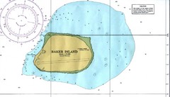
Baker Island Nautical Map
Nautical map of US unincorporated territory of Baker Island.
1053 miles away
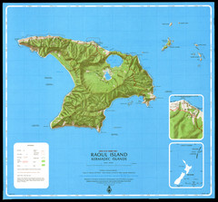
Raoul Island Map
Topographical map of Raoul Island in the Kermadec Islands, New Zealand
1132 miles away

US outlying minor properties Map
1137 miles away
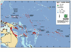
East Asian Pacific Ocean Map
Map of the Pacific Ocean surrounding East Asian Islands from the Solomon Islands to USA Hawaii.
1213 miles away
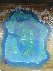
Bora Bora Map
Map of island from photo of sign
1310 miles away
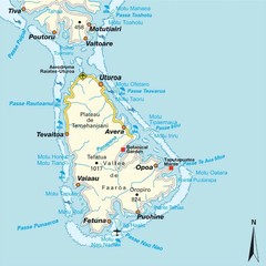
Raiatea (Hava'i) island Map
1332 miles away
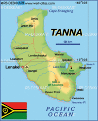
Tanna island Map
1337 miles away

Efate island Map
1375 miles away
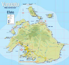
Vanuatu Tourist Map
Tourist guide to the island of Efate in Vanuatu
1376 miles away
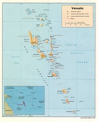
Vanuatu Islands Map
Map of Vanuatu region of islands
1388 miles away

Vanuatu Map
1414 miles away
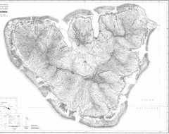
Moorea Topo Map
Topographic map of island of Moorea in the French Polynesia. Contains highly detailed information...
1442 miles away
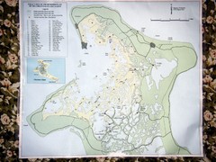
Christmas Island Bonefish Flats Map
1444 miles away
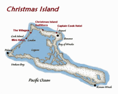
Christmas (Kiribati) island Map
1455 miles away
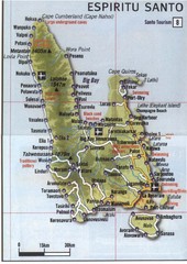
Espiritu Santo Island Map
Map of island
1458 miles away
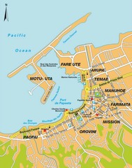
Papeete city Map
1460 miles away
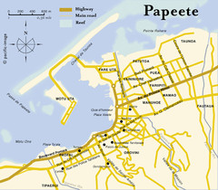
Papeete map ( on Tahiti )
1460 miles away
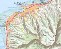
Papeete vicinity Map
1463 miles away
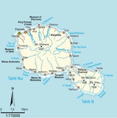
Tahiti Map
1470 miles away
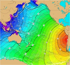
Tsunami Time Travel to Chile Map
The amount of time it will take for a tsunami in Chile to head West toward Australia. Based on the...
1471 miles away
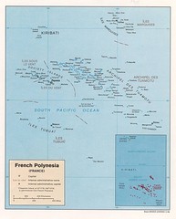
French Polynesia Tourist Map
1471 miles away
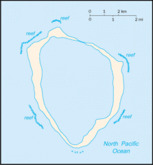
Clipperton Island Tourist Map
1471 miles away
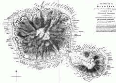
Captain Cook's Map of Tahiti
Map of Tahiti in French Polynesia according to the survey taken by Captain Cook and later corrected...
1473 miles away
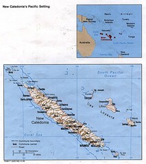
New Caledonia Islands Tourist Map
1476 miles away
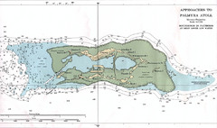
Palmyra atoll Map
1519 miles away
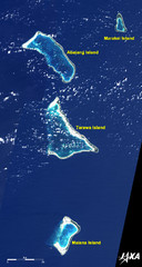
Kiribati Islands Map
Kiribati satellite image of Kiribati Islands of Tarawa Island, Abaiang Island, Marakei Island, and...
1522 miles away
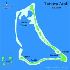
Tarawa atoll Map
1524 miles away

