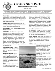
Gaviota State Park Campground Map
Map of campground region of park with detail of trails and recreation zones
4745 miles away

Alaska's Aleutian Islands Map
4745 miles away
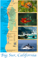
Big Sur Map
Tourist map of Highway 1 area near Big Sur, California
4748 miles away
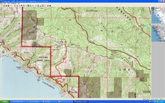
Timber Top, Big Sur Map
Route we climbed to Timber Top in Big Sur. Very steep trail.
4748 miles away
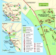
San Simeon State Park West Map
Map of west region of park with detail of trails and recreation zones
4749 miles away

Limeklin State Park Map
Map of park with detail of trails and recreation zones
4750 miles away

San Simeon State Park Map
Map of park with detail of trails and recreation zones
4750 miles away
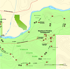
San Simeon State Park East Map
Map of east region of park with detail of trails and recreation zones
4750 miles away
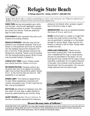
Refugio State Beach Campground Map
Map of campground region of beach with detail of trails and recreation zones
4751 miles away
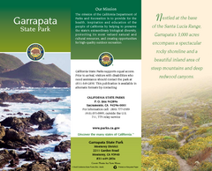
Garrapata State Park Map
Map of park with detail of trails and recreation zones
4751 miles away
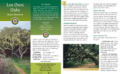
Los Osos Oaks State Reserve Map
Map of reserve with detail of trails and recreation zones
4752 miles away
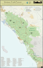
Ventana Wilderness Trails Map
Trail map of the Ventana Wilderness east of Big Sur. Also shows trails in the Silver Peak...
4752 miles away
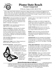
Pismo Beach Oceano Campground Map
Map of oceano campground region of park with detail of trails and recreation zones
4752 miles away
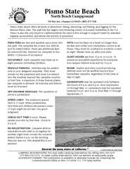
Pismo Beach North Campground Map
Map of park with detail of trails and recreation zones
4752 miles away
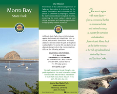
Morro Bay State Park Map
Map of park with detail of trails and recreation zones
4753 miles away
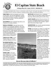
El Capitan State Beach Campground Map
Map of campground region park with detail of trails and recreation zones
4753 miles away
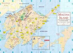
Mactan Island Tourist Map
4754 miles away
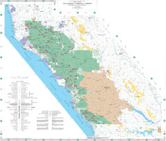
Los Padres National Forest Map - North
Overview map of the northern section of Los Padres National Forest in the Monterey Ranger District...
4755 miles away

Waseda University Campus Map
4756 miles away

Hamamatsu Tourist Map
4756 miles away
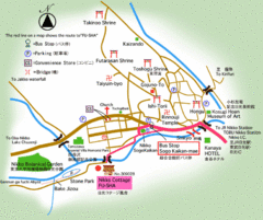
Nikko City Tourist Map
4756 miles away
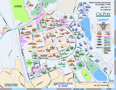
California Polytechnic State University Map
California Polytechnic State University Campus Map. All buildings shown.
4757 miles away
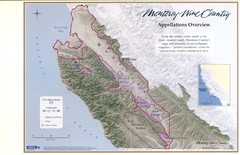
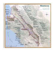
Monterey Wine Country: Appellation Overview Map
The Monterey region is world-famous for unparalleled scenic beauty, golf, and cuisine. Millions of...
4758 miles away
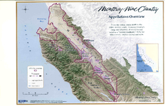
Monterey Wine Country: Appellation Overview Map
The Monterey region is world-famous for unparalleled scenic beauty, golf, and cuisine. Millions of...
4758 miles away
Monterey Wine Country: Appellation Overview Map
The Monterey region is world-famous for unparalleled scenic beauty, golf, and cuisine. Millions of...
4758 miles away
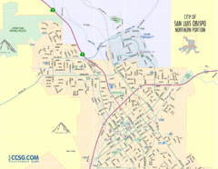
San Luis Obispo City Map - Northern Portion
City map of northern portion of San Luis Obispo, California
4758 miles away
Monterey State Historic Park Map
Map of park with detail of trails and recreation zones
4758 miles away
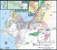
Monterey Area Map
Shows Monterey / Carmel area. Has legend on it with route highlighted to Naval housing.
4758 miles away
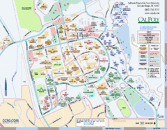
Cal Poly Campus Map
Cal Poly University at San Luis Obispo Campus Map. Includes all buildings, streets, sports fields...
4758 miles away
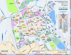
Cal Poly Campus Map
Campus map of California Polytechnic State University in San Luis Obispo, CA
4758 miles away
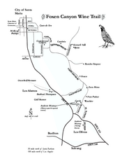
Foxen Canyon Wine Trail Map
Foxen Canyon area wineries and vineyards, near Santa Barbara, California.
4758 miles away
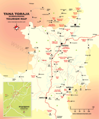
Tana Toraja Tourist Map
Tana Toraja tourist map with inset of Rantepao, Indonesia
4758 miles away
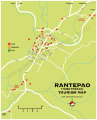
Rantepao Tourism Map
Tourist map of Rantepao, Indonesia. Shows hotels, restaurants, and banks.
4758 miles away
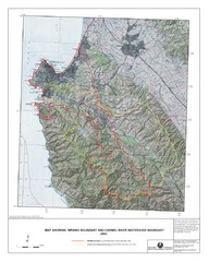
Monterey Peninsula and Carmel River Watershed...
This map contains a digital raster graphic topographic base map of the Monterey Peninsula Water...
4759 miles away
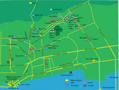
Cebu City Tourist Map
Tourist map of central Cebu City, Philippines. Shows sightseeing spots.
4759 miles away
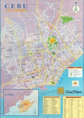
Cebu City Map
City map of Cebu with places of interest
4759 miles away
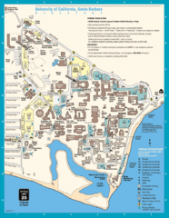
UC Santa Barbara Map
Campus map
4759 miles away
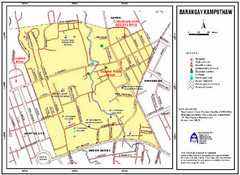
Kamputhaw Tourist Map
4760 miles away

