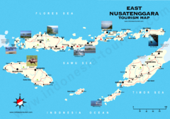
East Nusatenggara Tourist Map
Tourist map of East Nusatenggara, Indonesia. Shows some photos.
4515 miles away
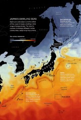
Japan's Ocean Currents Map
4518 miles away
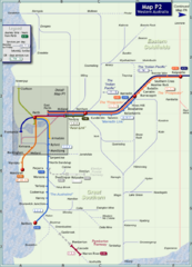
Western Australia Rail Map
Map of long-distance rail system throughout Western Australia
4554 miles away

Western Australia State Barrier Fence Map
Map shows the Rabbit barrier fence built in 1901 in Burracoppin and Merredin just east of Perth.
4567 miles away
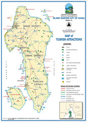
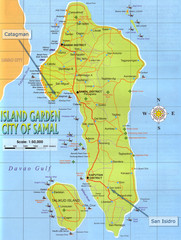
Island Garden City of Samal Tourist Map
Places of interest.
4569 miles away
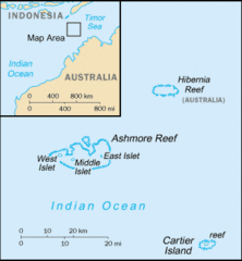
Ashmore and Cartier Islands Tourist Map
4572 miles away
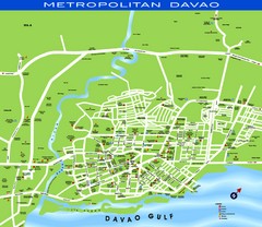
Davao Tourist Map
Tourist map of city of Davao, Phillipines
4575 miles away
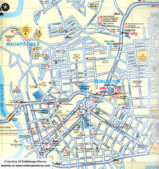
Davao City Map
Tourist street map of Davao City
4575 miles away
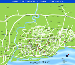
Davao City Map
4576 miles away
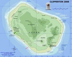
Clipperton Island Map
Map for a 2008 expedition to Clipperton Island, an atoll in the Pacific Ocean, claimed by France...
4576 miles away
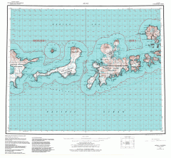
Adak Alaska Topo Map
Topo map of former military outpost. 1:250,000 Scale. City incorporated in 2001.
4578 miles away
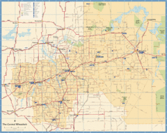
Wheatbelt Central Western Australia Map
Map of the central wheatbelt area near Merredin, Western Australia
4579 miles away
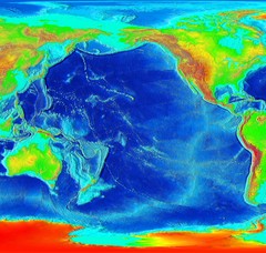
Pacific Elevation Map
Elevation Map of the Pacific Ocean and surrounding continents
4580 miles away

Alaskan Aleutian Islands Map
4582 miles away
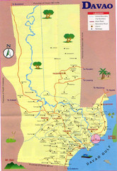
Davao Tourist Map
4585 miles away

Bruce Rock Town Map
4585 miles away
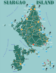
Siargao Island Diving Map
Diving map of Siargao Island and Bucas Grande Island. Shows diving spots and coral reefs.
4609 miles away
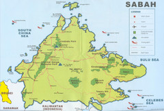
Sabah Map
Location Map of National Parks of Sabah, South Asia. Includes towns, roads, parks, mountains, and...
4623 miles away

Denmark, Western Australia East District Guide Map
The eastern district of Denmark, Western Australia
4624 miles away

Denmark, Western Australia Guide Map
Locations and areas in Denmark, Western Australia
4624 miles away
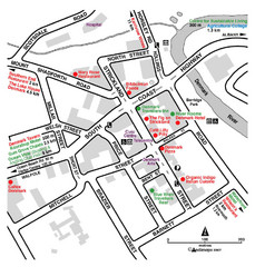
Denmark Western Australia Tourist Map
Tourist map of town of Denmark, Western Australia. Shows accommodations and restaurants.
4624 miles away
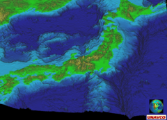
Japan Sea Floor Map
4625 miles away
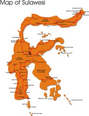
Sulawesi Overview Map
Overview map of island of Sulawesi, Indonesia. Shows major towns and airports.
4635 miles away

Surigao Tourist Map
Tourist map of Surigao City , Philippines. Shows hotels, other accommodations, and restaurants.
4645 miles away
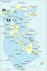
Taka Bonerate Map
The Bonerate National Park is home to the third biggest atoll in the world after Kwajifein in the...
4646 miles away
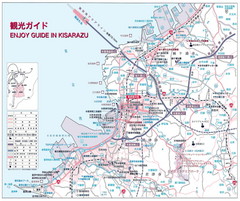
Kisarazu Tourist Map
4684 miles away
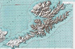
Unalaska Island Topo Map
4693 miles away
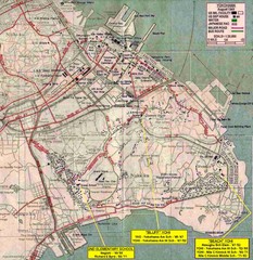
City Map of Yokohama, Japan
4698 miles away
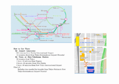
Yokohama Transportation Map
4700 miles away
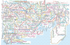
Yokohama-Tokyo Transit Map
Transit map of Tokyo and Yokohama.
4700 miles away
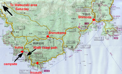
Shimoda Area Tourist Map
Places of interest, hiking.
4700 miles away
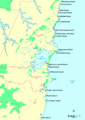
Illawarra, Australia Beach Tourist Map
4702 miles away
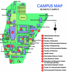
Bunkyo Campus Map
This is a clear map and legend of this small school. Bunkyo University is well known for its...
4703 miles away
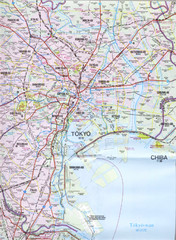
Tokyo Map
4703 miles away
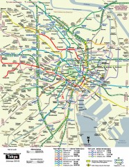
Tokyo Metro Map - unofficial
Tokyo subway route map (English)
4703 miles away
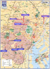
Tokyo Map
4704 miles away

Akiabara Map
4705 miles away

