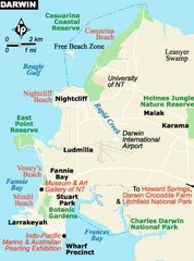
Darwin, Australia City Map
3891 miles away
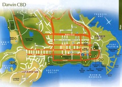
Darwin, Australia City Map
3891 miles away
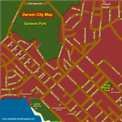
Inner Darwin, Australia City Map
3891 miles away
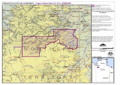
Gregory National Park and Northern Territory...
3903 miles away

Age of undersea fracture zones Map
3960 miles away
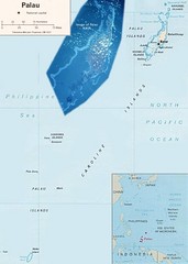
Palau Political Map
Guide to the island nation of Palau
4006 miles away
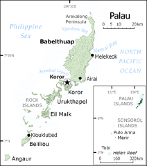
Palau Map
Guide to the country of Palau, the world's youngest and smallest sovereign state, previously...
4006 miles away

Palau airport vicinity Map
4007 miles away
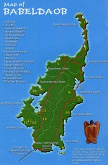
Babeldoab Map
Map of Babeldoab island of the Palau Islands
4008 miles away
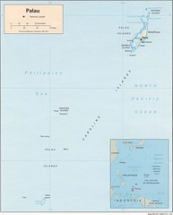
Palau Islands Map
4008 miles away
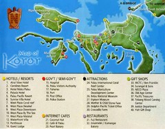
Koror Island Tourist Map
Tourist map of Koror island of Palau
4010 miles away

Palau Koror island Map
4010 miles away

Palau Peleliu island Map
4017 miles away

Anguar island Map
4021 miles away
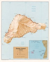
Easter Island Tourist Map
4066 miles away
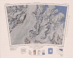
The Cloudmaker Topo Map
Topo map of region surrounding The Cloudmaker mountain and the Beardmore Glacier. 1:250,000 scale.
4072 miles away
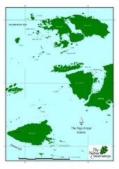
Raja Ampat Islands Map
4087 miles away
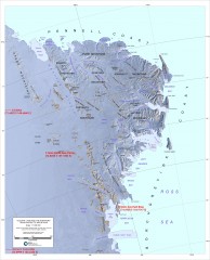
Victoria Land and the Northern Trans-Antarctic...
Shows major glaciers and mountains
4163 miles away
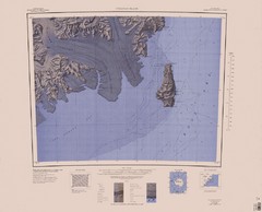
Coulman Island Map
An island 18 miles long and 8 miles wide
4173 miles away
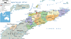
East Timor political Map
4235 miles away
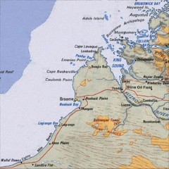
Central Western Australia Region Map
4236 miles away
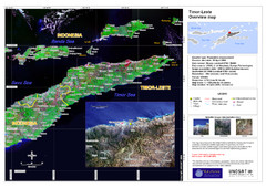
Timor-Leste map
4257 miles away
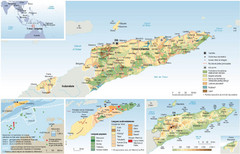
East Timor Map
Four part map shows biomes, offshore Kelp oil deposits, languages, and topology of East Timor
4263 miles away
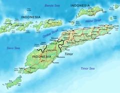
East Timor Map
4277 miles away
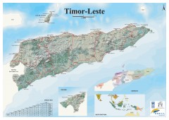
East Timor Relief Map
Shaded relief map of East Timor. Inset map shows location in Southeast Asia. Additional inset...
4277 miles away
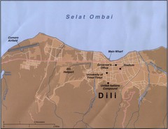
Dili Map
4291 miles away
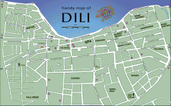
Dili Street Map
Street map of Dili, the capital of East Timor
4292 miles away
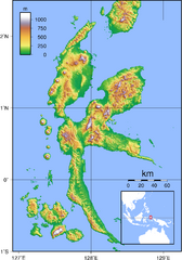
Halmahera Topography Map
Shows color coded shaded relief of island of Halmahera, Indonesia.
4292 miles away
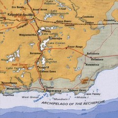
Esperance, Australia Tourist Map
A map of the Esperance region in Australia.
4366 miles away
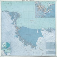
Ross Sea Regions Map
Physical relief map of the Ross Sea regions. Shows Victoria Land, Ross Sea, McMurdo Sound, Ross Ice...
4377 miles away
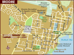
Broome, Australia City Map
4408 miles away
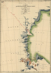
Map of Shackleton’s 1907-1909 Antarctic...
Eric Stewart Marshall's map of Shackleton's "Nimrod" expedition of 1907-09.
4437 miles away
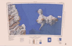
Ross Island Topo Map
Topo map of Ross Island, Antarctica. Shows US Mcmurdo Station, New Zealand Scott Base and volcanic...
4445 miles away
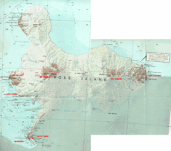
Ross Island Map
Topo map of Ross Island, home of the US McMurdo Station, Mt. Erebus, Mt. Terror, Cape Evans, Cape...
4452 miles away
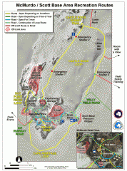
McMurdo and Scott Base Area Recreation Route Map
Shows roads around McMurdo Station (US) and Scott Base (New Zealand) Antarctic research stations on...
4463 miles away
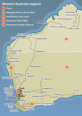
Western Australia Map
Map of Western Australia region with detail of districts
4464 miles away
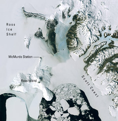
Ross Island McMurdo Station Area Landsat Map
Landsat mosaic map of the Ross Island / Ross Ice Shelf / U.S. McMurdo Station area
4480 miles away

Ames Range Topo Map
Topo relief map of the Ames range in western Marie Byrd Land, Antarctica. Shows Mt. Andrus 9,770...
4498 miles away
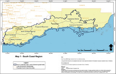
Australia South Coast Region Map
The South Coast region of Australia and proposed new boundaries by Natural Resources Management...
4506 miles away

