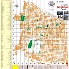
Santiago Center Map
Street map of city center
212 miles away
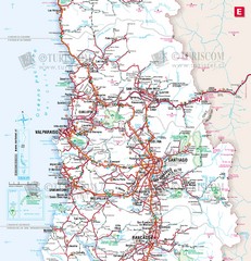
Central Chile Tourist Map
Provinces in Chile
212 miles away
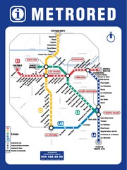
Santiago Chile Subway Map
Metro Red map for the Santiago, Chile Subway.
212 miles away
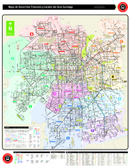
Santiago Bus and Metro Map
Shows bus routes and metro routes in Santiago, Chile. Shows the 10 areas of service in Santiago.
214 miles away
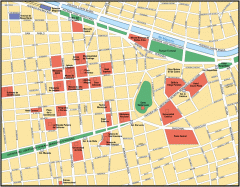
Central Santiago Street Map
Map of central Santiago, Chile
216 miles away
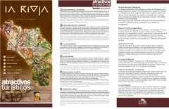
La Rioja Tourist Map
Tourist map of region
217 miles away
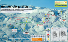
Chapa Verde Ski Trail Map
Trail map from Chapa Verde.
222 miles away
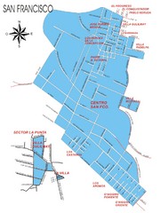
San Francisco Map
Street map of town
247 miles away
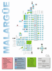
Malargue Tourist Map
Tourist street map
248 miles away
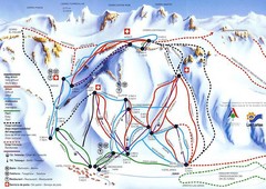
Las Leñas Ski Trail Map
Trail map from Las Leñas.
249 miles away
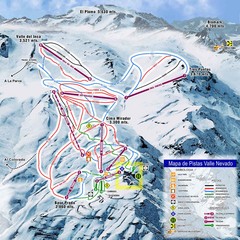
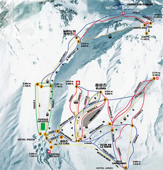
Valle Nevado Ski Resort Trail Map
Trail Map for Valle Nevado Ski Resort in Chile. Map includes lifts, mountain elevations and ski...
255 miles away
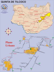
Quinta de Tilcoco Map
Street map of town
257 miles away
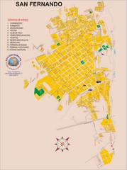
San Fernando Tourist Map
Tourist street map of city
266 miles away
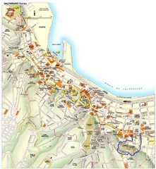
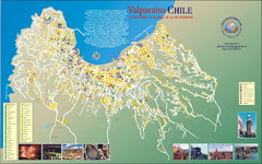
Valparaiso Tourist Map
Tourist map of central Valparaiso, Chile. Shows restaurants, bars, and other points of interest...
267 miles away

Santa Cruz South Map
Street map of city
286 miles away

Santa Cruz North Map
Street map of city
286 miles away

