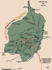
El Rey National Park Map
Map of park with detail of trails
0 miles away
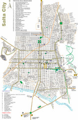
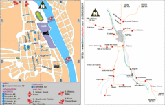
Salta Tourist Map
Tourist street map of Salta
50 miles away
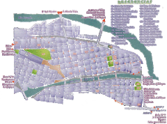
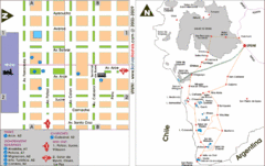
San Salvador de Jujuy Tourist Map
Tourist street map of downtown
55 miles away
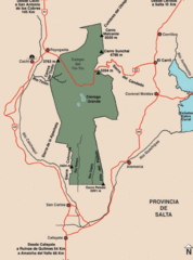
Los Cardones National Park Map
Map of park with detail of trails
101 miles away
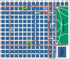
San Miguel de Tucuman City Map
Street map of downtown
150 miles away
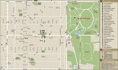
San Miguel de Tucuman Tourist Map
Tourist street map of downtown
151 miles away
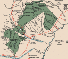
Calilegua National Park Map
Map of park with detail of various trails
174 miles away
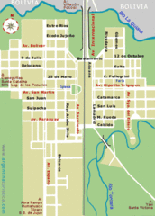
La Quiaca City Map
Street map of city
190 miles away
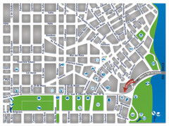
Termas De Rio Hondo Map
City street map
194 miles away

Parque Nacional Baritu Map
Map of park with detail of trails
195 miles away
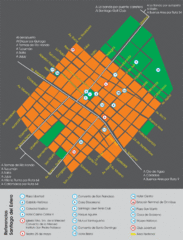
Santiago Del Estero Tourist Map
Tourist street map of city center
215 miles away
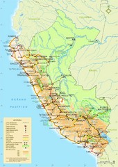
Western South America Tourist Map
315 miles away
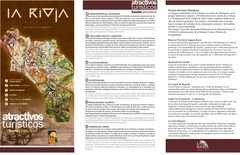
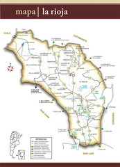
La Rioja Tourist Map
Tourist map of region
354 miles away
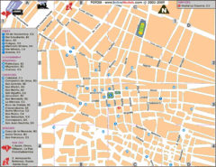
Potosi Center Map
Tourist street map of downtown Potosi
361 miles away
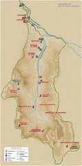
Rio de los Cipreses River Map
Rio de los Cipreses in Antofagasta, Chile
371 miles away

Paraguay political Map
379 miles away
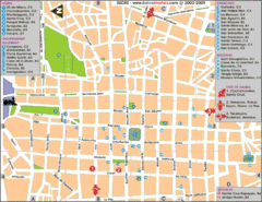
Downtown Sucre Map
Tourist street map of downtown Sucre
393 miles away
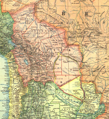
Bolivia and Paraguay in 1921 Map
1921 National Geographic Map of Bolivia and Paraguay before of the 1932-35 bloody war between those...
399 miles away

Paraguay Map
Map of Paraguay showing cities, roads, railroads and borders.
400 miles away
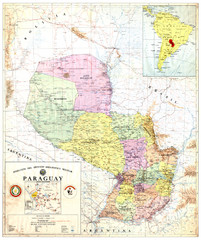
Official map of Paraguay
Official map of Paraguay, year 1993
400 miles away
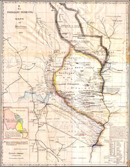
Wartime map of the Chaco
This 1933 map of the Chaco was made during the Chaco War between Paraguay and Bolivia and used by...
400 miles away
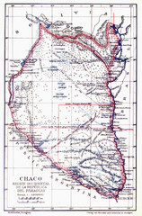
All the failed proposals to delimit the Chaco Map
Here you can see all the proposals to delimit the Chaco between 1879 and 1894. Everyone of them...
400 miles away
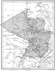
Map of Paraguay before the Chaco War
This is an internationally accepted map of Paraguay before the Chaco War (1932-35) made by Scottish...
400 miles away
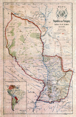
Map of Paraguay before the Chaco War
This dateless map of Paraguay that I scanned shows all the local claim over the Chaco (the northern...
400 miles away
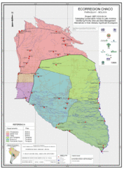
Ecological Region of the Chaco Map
This is the ecological Region of the Chaco shared between Paraguay and Bolivia
400 miles away
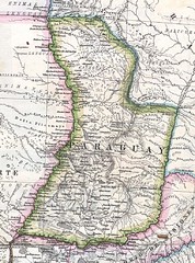
Paraguay Political Map 1875
Political map of Paraguay in 1875. Part of "Mapa Original de la Republica Argentina y Estados...
400 miles away
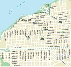
Corrientes City Map
Street map of city center
408 miles away

Paraguay Map
408 miles away
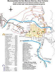
San Marcos Sierras Tourist Map
Tourist map
421 miles away
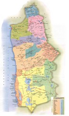
Tarapaca Region Political Map
430 miles away
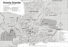
Huerta Grande Tourist Map
Tourist street map
440 miles away

