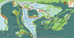
Iguazu National Park Map
Tourist map of park
771 miles away
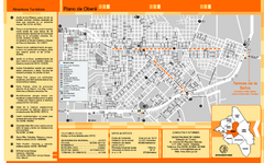
Obera Tourist Map
Tourist street map of city
771 miles away
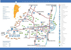
Tunuyan Tourist Map
Tourist map of city
773 miles away
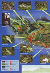
Inca Trail 1 of 2 Map
Scanned from the road system brochure given to hikers at KM82
774 miles away
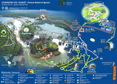
Iguasu Park Map
775 miles away
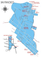
San Francisco Map
Street map of town
775 miles away

El Colorado-Farellones West Face Ski Trail Map
Trail map from El Colorado-Farellones.
775 miles away
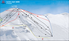
El Colorado-Farellones Ski Trail Map
Trail map from El Colorado-Farellones.
775 miles away
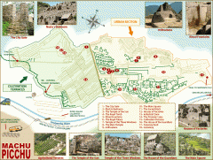
Machu Picchu tourist map
Map of Machu Picchu showing points of interest
777 miles away
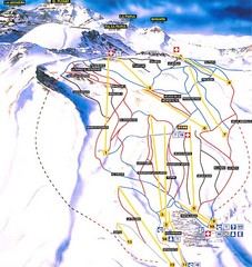
La Parva Ski Trail Map
Trail map from La Parva. This ski area has its own website.
778 miles away
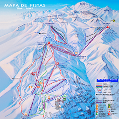
Valle Nevado Ski Trail Map
Trail map from Valle Nevado, which provides downhill and terrain park skiing. It has 11 lifts. This...
779 miles away
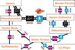
Cusco to Machu Picchu Transport Map
The Irish Guy's map of how to get from Cusco to Machu Picchu cheap.
784 miles away
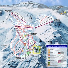
Valle Nevado Ski Resort Trail Map
Trail Map for Valle Nevado Ski Resort in Chile. Map includes lifts, mountain elevations and ski...
786 miles away
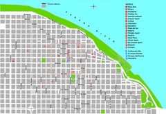
Rosario Tourist Map
Tourist street map of downtown area with detail of local hotels
789 miles away
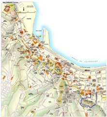
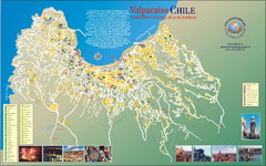
Valparaiso Tourist Map
Tourist map of central Valparaiso, Chile. Shows restaurants, bars, and other points of interest...
789 miles away
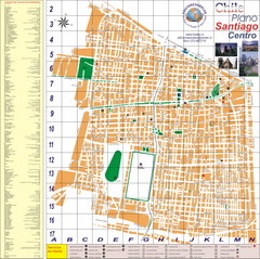
Santiago Center Map
Street map of city center
789 miles away
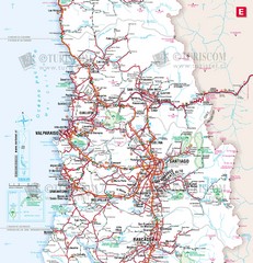
Central Chile Tourist Map
Provinces in Chile
790 miles away
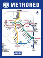
Santiago Chile Subway Map
Metro Red map for the Santiago, Chile Subway.
790 miles away
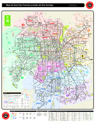
Santiago Bus and Metro Map
Shows bus routes and metro routes in Santiago, Chile. Shows the 10 areas of service in Santiago.
792 miles away
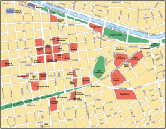
Central Santiago Street Map
Map of central Santiago, Chile
792 miles away
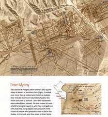
Nasca Lines Map
From National Geographic Magazine
796 miles away
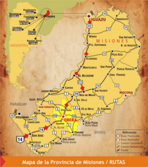
Misiones Province Map
Map of province with detail of main cities and towns
796 miles away
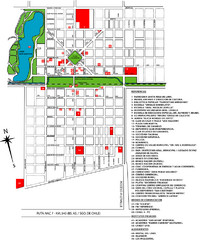
General Levalle Map
Street map
798 miles away
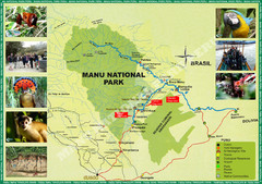
Manu National Park Map
800 miles away
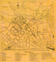
Cusco Map
805 miles away
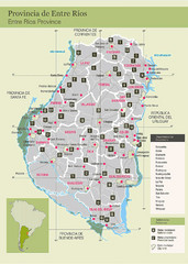
Entre Rios Province Map
Map of province with detail of main towns
809 miles away
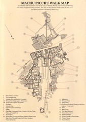
Machu Picchu Map
815 miles away
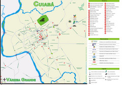
Cuiaba Tourist Map
Tourist street map of town
822 miles away
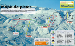
Chapa Verde Ski Trail Map
Trail map from Chapa Verde.
825 miles away

Mississippi Airports Map
825 miles away
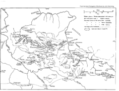
Vilcabamba Map
Shows the old Vilcabamba in Peru from the time of the Incas
832 miles away
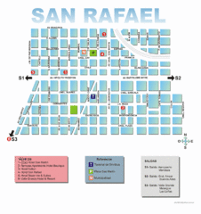
San Rafael Tourist Map
Tourist street map of city
837 miles away
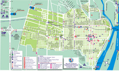
Concepcion del Uruguay Tourist Map
Tourist street map
837 miles away
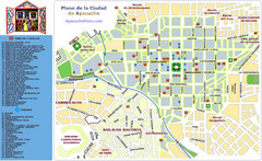
Ayacucho Tourist Map
Tourist map of town center
840 miles away
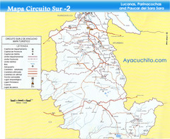
Southern Ayacucho Peru Tourist Map
Tourist Attractions, roads, cities and borders identified in Spanish.
840 miles away

