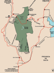
Los Cardones National Park Map
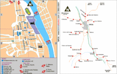
Map of park with detail of trails
1885 miles away
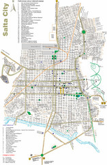
Salta Tourist Map
Tourist street map of Salta
1901 miles away
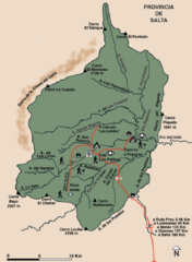
El Rey National Park Map
Map of park with detail of trails
1902 miles away
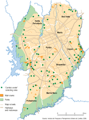
Curitiba City Map
Curitiba city overview map
1916 miles away
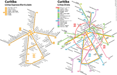
Curitiba Public Transportation Map
1917 miles away
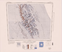
Vinson Massif Topo Map
Topo map of Vinson Massif, the highest mountain in Antarctica at 16067 ft / 4897 m. One of the...
1923 miles away
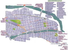
San Salvador de Jujuy Tourist Map
Tourist street map of downtown
1942 miles away
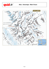
Mont Vinson Map
Map of Vinson Massif mountain range, the highest range in Antartica, 16,050 ft high. Located about...
1943 miles away

Paraguay political Map
1973 miles away

Paraguay Map
Map of Paraguay showing cities, roads, railroads and borders.
1973 miles away
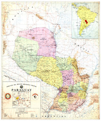
Official map of Paraguay
Official map of Paraguay, year 1993
1973 miles away
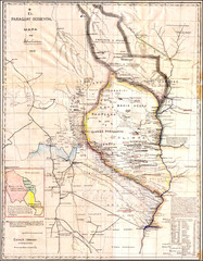
Wartime map of the Chaco
This 1933 map of the Chaco was made during the Chaco War between Paraguay and Bolivia and used by...
1973 miles away
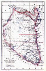
All the failed proposals to delimit the Chaco Map
Here you can see all the proposals to delimit the Chaco between 1879 and 1894. Everyone of them...
1973 miles away
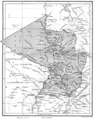
Map of Paraguay before the Chaco War
This is an internationally accepted map of Paraguay before the Chaco War (1932-35) made by Scottish...
1973 miles away
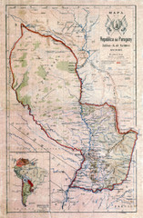
Map of Paraguay before the Chaco War
This dateless map of Paraguay that I scanned shows all the local claim over the Chaco (the northern...
1973 miles away
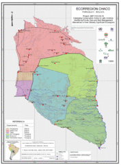
Ecological Region of the Chaco Map
This is the ecological Region of the Chaco shared between Paraguay and Bolivia
1973 miles away
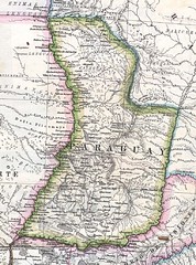
Paraguay Political Map 1875
Political map of Paraguay in 1875. Part of "Mapa Original de la Republica Argentina y Estados...
1973 miles away

Mississippi Airports Map
1981 miles away

Paraguay Map
1993 miles away
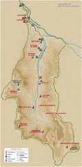
Rio de los Cipreses River Map
Rio de los Cipreses in Antofagasta, Chile
2040 miles away
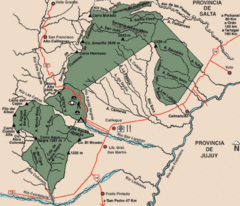
Calilegua National Park Map
Map of park with detail of various trails
2054 miles away

Parque Nacional Baritu Map
Map of park with detail of trails
2064 miles away
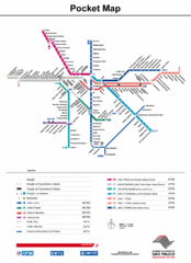
Sao Paulo Bus System Map
2080 miles away

Map of Sao Paulo State, Brazil
2086 miles away
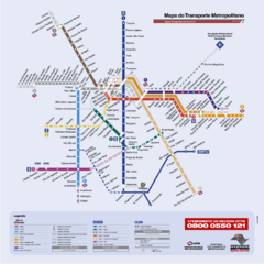
Sao Paulo Bus System Map
2086 miles away
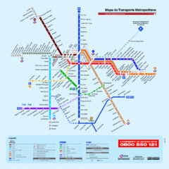
Metropolitan Transport of Sao Paulo Map
2086 miles away
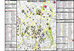
Centre of Sao Paulo Map
2086 miles away
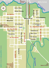
La Quiaca City Map
Street map of city
2087 miles away
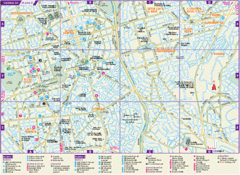
Guarulhos Tourist Map
Tourist map of city
2092 miles away
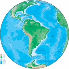
South America Globe Map
Guide to South America, in globe version, not flat
2144 miles away
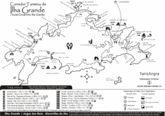
Ilha Grande Tourist Map
Tourist map of island
2158 miles away
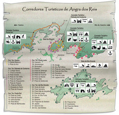
Angra dos Reis Tourist Map
Tourist map of region
2165 miles away
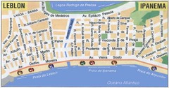
Ipanema - Leblon Street Map
Street map of Ipanema/Leblon region of Rio
2190 miles away
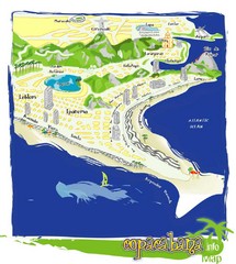
Copacabana Tourist Map
2191 miles away

