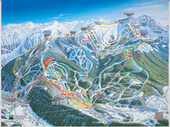
Telluride, Colorado Trail Map
393 miles away
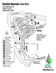
Buckskin Mountain State Park Map
Map of park with detail of trails and recreation zones
395 miles away
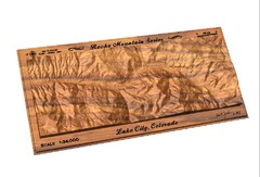
Lake City, CO carved by carvedmaps.com Map
Lake City, CO map carved by carvedmaps.com
396 miles away

Attractions in Amarillo, Texas Map
Tourist map of Amarillo, Texas. Shows museums, sports facilities, and other attractions.
397 miles away
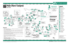
Palo Duro, Texas State Park Facility and Trail Map
397 miles away
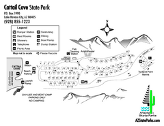
Cattail Cove State Park Map
Map of park with detail of trails and recreation zones
398 miles away
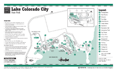
Lake Colorado City, Texas State Park Facility...
399 miles away
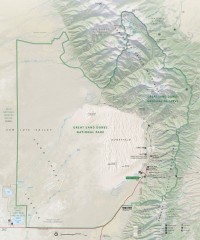
Great Sand Dunes National Park and Preserve map
Official NPS map of Great Sand Dunes National Park and Preserve. Park includes the tallest dune in...
402 miles away
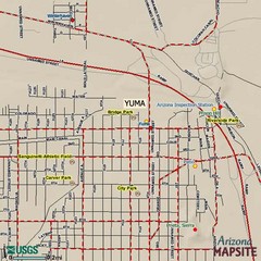
Yuma, Arizona Tourist Map
402 miles away
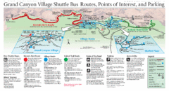
Grand Canyon Shuttle Bus Map
Guide to shuttle bus routes, points of interest and parking in Grand Canyon National Park
402 miles away
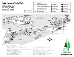
Lake Havasu State Park Map
Map of park with detail of trails and recreation zones
403 miles away
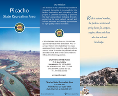
Picacho State Recreation Area Map
Map of recreation area with detail of trails and recreation zones
405 miles away
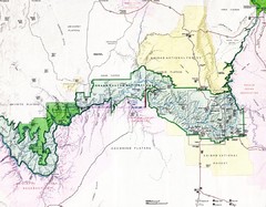
Grand Canyon Map
Guide to the Grand Canyon National Park
405 miles away
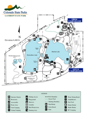
Lathrop State Park Map
Map of park with detail of recreation zones
406 miles away
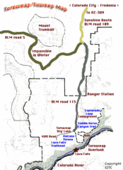
Toroweap Park Map
410 miles away
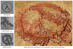
Rendered Terrain of the Grand Canyon Map
Created from Digital Elevation Models
412 miles away
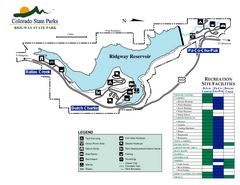
Ridgway State Park Map
Map of park with detail of recreation zones
412 miles away
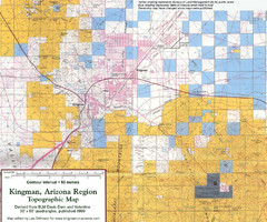
Kingman, Arizona Region Topographic Map
Elevation in qauadrangles for the Kingman, Arizona area
415 miles away
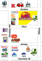
Walleck Ranch Area, Kingman Arizona Map
416 miles away
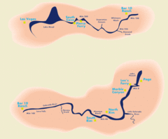
Grand Canyon River Rafting Map
Guide to the Colorado River, Grand Canyon river rafting
416 miles away
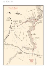
Buckskin Gulch Trail Map
Guide to Buckskin Gulch, the longest slot canyon in the US
417 miles away
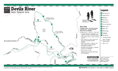
Devil's River, Texas State Park Facility and...
421 miles away
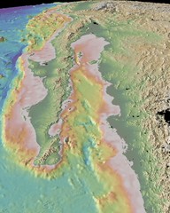
Gulf of California topograpuy Map
421 miles away
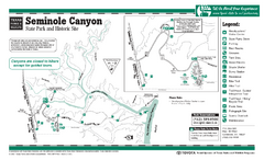
Seminole Canyon, Texas State Park Facility and...
421 miles away
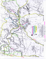
Uncompahgre National Forest Map
National Forest in Western Colorado
424 miles away
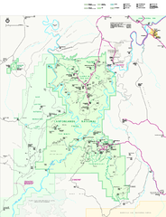
Canyonlands National Park Official Park Map
Official NPS map of Canyonlands National Park. Located in Utah. Map shows all areas but does not...
427 miles away
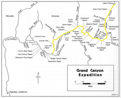
Grand Canyon River Expedition Map
Guide to the Colorado River, rapids and washes
427 miles away
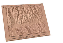
Blue Mesa Reservoir by Carvedmaps.com Map
Blue Mesa Reservoir carved by carvedmaps.com - Tom Justin artist
428 miles away
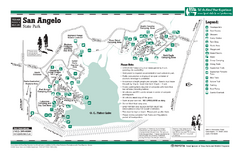
San Angelo, Texas State Park Facility and Trail...
429 miles away
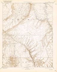
Topo Map of San Rafael Quadrant circa 1885
This is one of four USGS maps from the 1880's and 90's depicting the area around the...
430 miles away
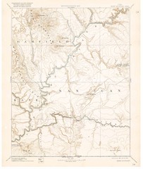
Henry Mtns Topo Map, circa 1892
One of a set of four maps circa 1890s by USGS depicting the area around the Henry Mtns and Capitol...
430 miles away
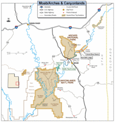
Canyonlands National Park Map
Clear map and key marking cities, rivers, highways and points of interest.
433 miles away
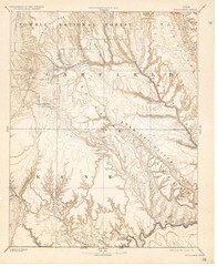
Topo Map of Escalante Quadrant, UT circa 1886
One of four USGS maps detailing the area around Capitol Reef National Park and Glen Canyon circa...
433 miles away
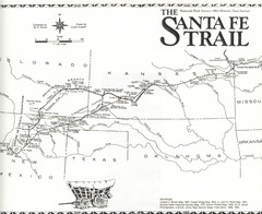
Santa Fe Trail Map
Historic map of the Santa Fe caravan trail
434 miles away
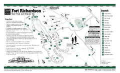
Fort Richardson, Texas State Park Facility and...
435 miles away
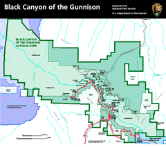
Black Canyon of the Gunnison National Park Map
Official NPS map of Black Canyon of the Gunnison in Colorado. Shows all areas including the South...
435 miles away
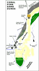
Coral Pink Sand Dunes State Park Map
Rippling arcs of rust-colored sand welcome you as you enter Coral Pink Sand Dunes State Park...
435 miles away
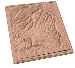
Uncompahgre Plateau by carvedmaps.com Map
Uncompahgre Plateau
436 miles away
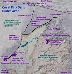
Coral Pink Sand Dunes Map
437 miles away

