Sonora Mexico Map
255 miles away
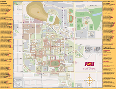
Arizona State University, Tempe Camous Map
Campus map of Arizona State University. Main campus, Tempe is shown. All Buildings are included.
256 miles away
Arizona Highway Map
258 miles away
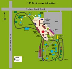
McCormick Railroad Park Map
258 miles away
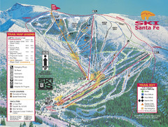
Santa Fe, New Mexico Ski Map
259 miles away
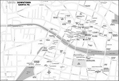
Downtown Santa Fe, New Mexico Map
259 miles away
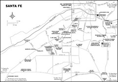
Santa Fe, New Mexico City Map
259 miles away
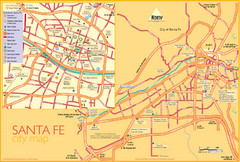
Santa Fe Tourist Map
Tourist map of Santa Fe, New Mexico. Inset shows downtown Santa Fe in detail.
259 miles away
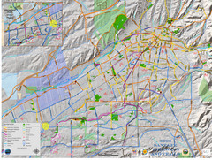
Santa Fe Bike and Trail Map
Trail and bikeway map of Santa Fe, New Mexico
260 miles away
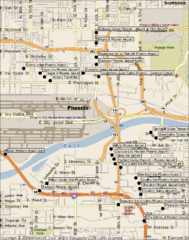
Phoenix Sky Harbor Airport Hotels Map
261 miles away
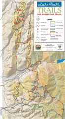
Dale Ball Trail Map
Map of the Dale Ball Trail system includes 22.2 miles of hiking and mountain biking trails that...
261 miles away
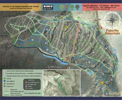
Pojarito Mountain bike Trail Map
Bike trail for Pojarito Mountain, New Mexico
263 miles away
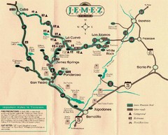
Jemez Mountains, New Mexico Tourist Map
264 miles away
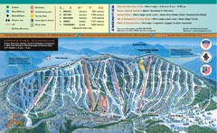
Pajarito Mountain Ski Trail Map
Trail map from Pajarito Mountain.
264 miles away
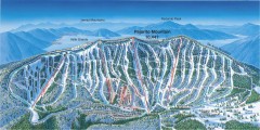
Pajarito Ski Trail Map
Official ski trail map of Pajarito ski area from the 2007-2008 season.
264 miles away
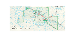
Chaco Culture National Historical Park Official...
Official NPS map of Chaco Culture National Historical Park in New Mexico. The park is open...
264 miles away
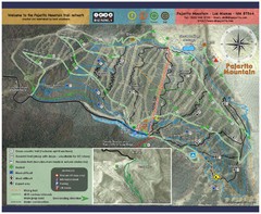
Pajarito Mountain Summer Bike Hike Trail Map
Pajarito Ski Area offers summer bike and hike lift service weekends. When lifts are not running...
264 miles away
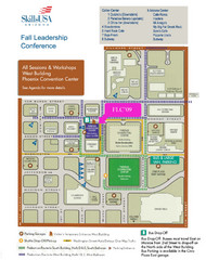
Central Phoenix, Arizona Restaurant Map
264 miles away
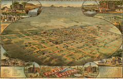
Dyer’s Birdseye view of Phoenix (1885) Map
C.J. Dyer's beautiful birdseye map of Phoenix in 1885.
264 miles away

Phoenix, Arizona City Map
264 miles away
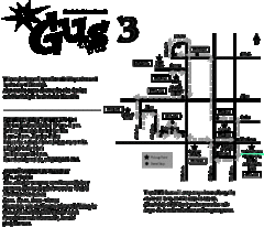
Glendale Urban Shuttle 3 Map
264 miles away
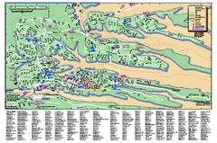
Los Alamos Street map
Los Alamos, New Mexico street and point of interest map. Mesas are colored green.
265 miles away
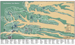
Los Alamos, New Mexico City Map
266 miles away
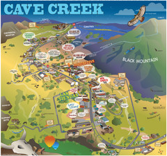
Cave Creek, Arizona Map
267 miles away
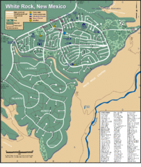
White Rock Road Map
Large and detailed map marking points of interest and roads.
267 miles away
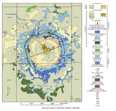
Meteor Crater Geologic Map
269 miles away
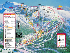
Ski Santa Fe Resort Ski Trail Map
Trail map from Ski Santa Fe Resort.
269 miles away
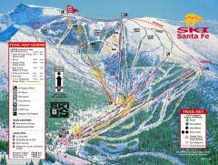
Ski Santa Fe Ski Trail Map
Official ski trail map of Ski Santa Fe ski area from the 2006-2007 season.
269 miles away
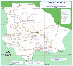
Chihuahua Town Map
270 miles away
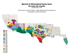
US African Honey Bee Map
Map of the US spread of Africanized honey bees by year, by county, from 1990 to 2007.
273 miles away
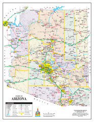
Arizona State Road Map
Arizona state road map
276 miles away
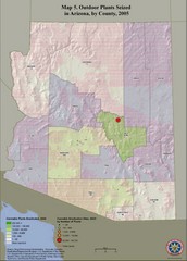
Cannabis Seized in Arizona Map 2005
Shows outdoor plants and sites seized in Arizona, by county, in 2005.
276 miles away

University Of Phoenix Stadium Map
One of the most amazing stadiums, with the first fully retractable natural grass playing surface...
276 miles away
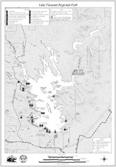
Lake Pleasant Regional Park Map
286 miles away
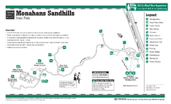
Monahans-Sandhills, Texas State Park Facility and...
292 miles away
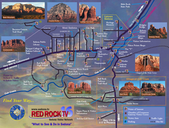
Sedona Tourist Map
Tourist map of Sedona, AZ. Shows points of interest and photos of local red rock formations and...
294 miles away
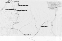
Central Arizona Wineries Map
296 miles away
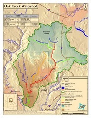
Oak Creek Watershed Map
Colorful Map of Oak Creek Watershed. Includes detailed information about the watershed, roads...
296 miles away
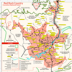
Red Rock County Trail Map
Trail map of trails of Red Rock County, AZ around Sedona, AZ. Shows trailheads and trail names.
297 miles away

