Paraguay Map
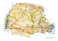
Map of Paraguay showing cities, roads, railroads and borders.
1245 miles away
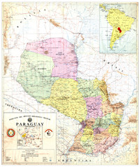
Official map of Paraguay
Official map of Paraguay, year 1993
1245 miles away
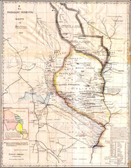
Wartime map of the Chaco
This 1933 map of the Chaco was made during the Chaco War between Paraguay and Bolivia and used by...
1245 miles away
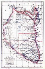
All the failed proposals to delimit the Chaco Map
Here you can see all the proposals to delimit the Chaco between 1879 and 1894. Everyone of them...
1245 miles away
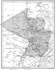
Map of Paraguay before the Chaco War
This is an internationally accepted map of Paraguay before the Chaco War (1932-35) made by Scottish...
1245 miles away
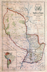
Map of Paraguay before the Chaco War
This dateless map of Paraguay that I scanned shows all the local claim over the Chaco (the northern...
1245 miles away
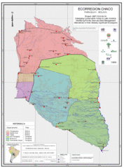
Ecological Region of the Chaco Map
This is the ecological Region of the Chaco shared between Paraguay and Bolivia
1245 miles away
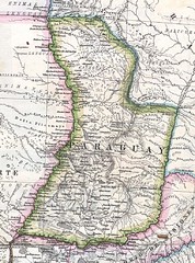
Paraguay Political Map 1875
Political map of Paraguay in 1875. Part of "Mapa Original de la Republica Argentina y Estados...
1245 miles away
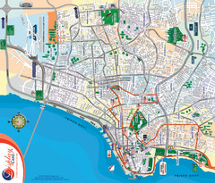
Porto Alegre Map
Street map of city
1257 miles away
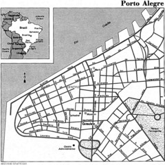
Porto Alegre City Map
1258 miles away

Paraguay Map
1263 miles away
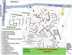
Puerto Iguazu Tourist Map
Tourist street map
1285 miles away

Northern Chile Tourist Map
Provinces in Northern Chile
1285 miles away
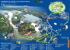
Iguasu Park Map
1287 miles away
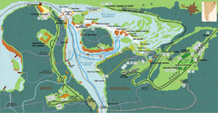
Iguazu National Park Map
Tourist map of park
1288 miles away
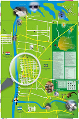
Iguacu Falls Tourist Map
Tourist map of Iguacu Falls, Brazil. Shows points of interest.
1289 miles away
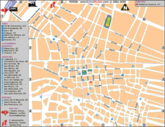
Potosi Center Map
Tourist street map of downtown Potosi
1303 miles away
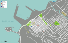
Arica Tourist Map
Tourist map of city of Arica, Chile. Shows attractions, restaurants, and accommodations.
1340 miles away
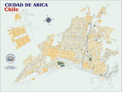
Arica Street Map
Street map of Arica, Chile.
1341 miles away
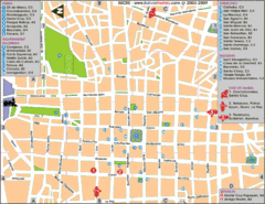
Downtown Sucre Map
Tourist street map of downtown Sucre
1347 miles away
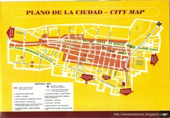
Tacna Tourist Map
Tourist map of city center
1372 miles away
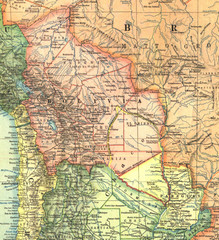
Bolivia and Paraguay in 1921 Map
1921 National Geographic Map of Bolivia and Paraguay before of the 1932-35 bloody war between those...
1381 miles away
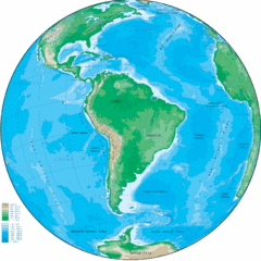
South America Globe Map
Guide to South America, in globe version, not flat
1382 miles away

Altiplano in Western Bolivia Map
1386 miles away
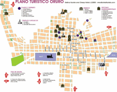
Oruro Tourist Map
Tourist street map of town
1395 miles away

Mississippi Airports Map
1433 miles away
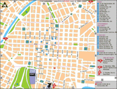
Cochabamba Ceter Map
Tourist street map of downtown Cochabamba
1446 miles away
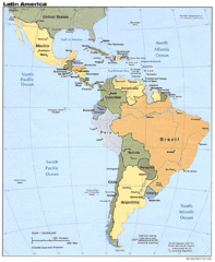
Latin America Map
1460 miles away
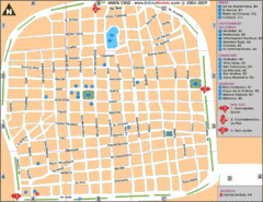
Santa Cruz Tourist Map
Tourist map of city center
1468 miles away
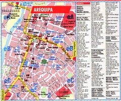
Arequipa Tourist Map
Tourist map of Arequipa, Peru. Shows streets and points of interest.
1483 miles away
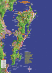
Florianopolis Tourist Map
Tourist map of of Florianopolis, Brazil, known as Floripa. A popular beach party destination
1485 miles away
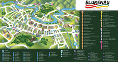
Blumenau Tourist Map
Tourist street map of city
1486 miles away
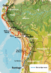
South America Tour Map
1487 miles away
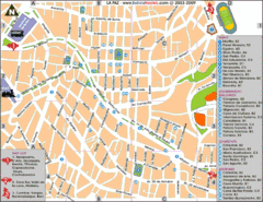
La Paz Tourist Map
Tourist street map of La Paz city center
1487 miles away
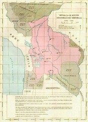
Alleged territorial losses of Bolivia Map
This Bolivian map shows all the alleged territorial losses.
1487 miles away
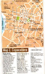
Copacabana Tourist Map
Tourist map of Copacabana, Bolivia on Lake Titikaka. Shows hotels, restaurants, and other places...
1504 miles away
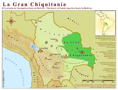
La Gran Chiquitania Map
Location map of the (Gran) Chiquitania region in Bolivia
1520 miles away

