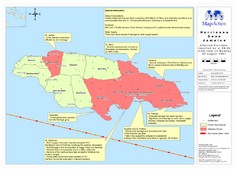
Jamaica Hurricane Dean Map 2007
Shows affected parishes
3893 miles away
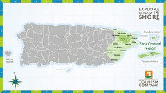
East Central Puerto Rico Map
3894 miles away

Tourist Map of Rincón Puerto Rico
Tourist map of Rincón and surrounding area. Features businesses and points of interest.
3895 miles away
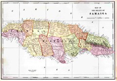
Jamaica 1910 Map
3895 miles away
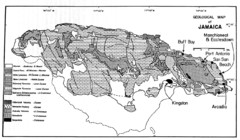
Jamaican geology Map
3895 miles away
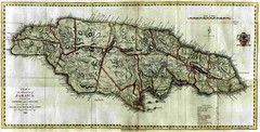
Jamaica County Map
Island map of Jamaica showing counties and parishes "Shows plantations, settlements, churches...
3896 miles away
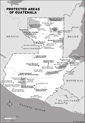
Protected areas of Guatemala Map
3899 miles away
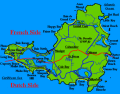
St. Maarten Beach Tourist Map
3899 miles away
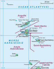
Saint Martin Map
3901 miles away
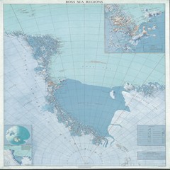
Ross Sea Regions Map
Physical relief map of the Ross Sea regions. Shows Victoria Land, Ross Sea, McMurdo Sound, Ross Ice...
3902 miles away
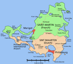
Saint Martin Map
Overview map shows entire island of Saint Martin (French) or Sint Maarten (Dutch).
3903 miles away
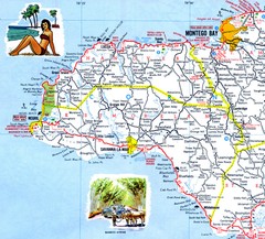
Western Jamaica road Map
3903 miles away
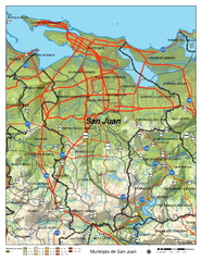
San Juan Road Map
Road map of San Juan, Puerto Rico area. Shows shaded elevation.
3905 miles away
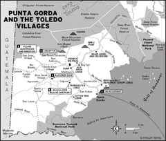
Punta Gorda and the Toledo villages Map
3906 miles away
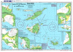
Anguilla St. Martin St. Barthelemy Nautical Map
Nautical map of Anguilla St. Martin St. Barthelemy. Shows insets of major ports.
3906 miles away
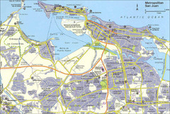
San Juan City Map
City Map of San Juan with information
3906 miles away
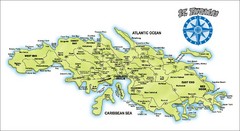
St. Thomas Island Map
Overview road map of island of St. Thomas in the U.S. Virgin Islands. Shows major roads, districts...
3907 miles away
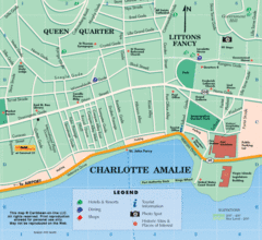
Charlotte Amalie U.S. Virgin Islands Map
3907 miles away
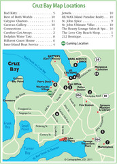
Cruz Bay St. John Map
3907 miles away
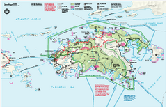
Virgin Islands National Park Map
Official NPS map of Virgin Islands National Park in the Virgin Islands. Map shows main island and...
3907 miles away
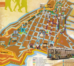
Old Town San Juan and El Morro Map
3908 miles away
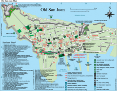
Old San Juan Tourist Map
City tourist map
3908 miles away
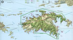
Virgin Islands National Park Tourist Map
3908 miles away
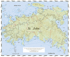
St. John Trail Map
Topographical trail map of St. John in the US Virgin Islands.
3908 miles away
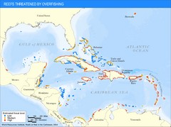
Caribbean Threatened Reef Map
Shows reefs threatened by overfishing in the Caribbean.
3909 miles away
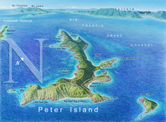
Peter Island BVI Map
3910 miles away

Negril tourist map (updated April 2008)
3910 miles away
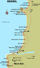
Negril Coastal Map
Coastal map of this Jamaican town.
3910 miles away

Ocho Rios rod Map
3910 miles away
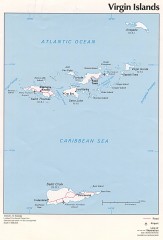
Map of the Virgin Islands
Map of the Virgin Islands
3912 miles away
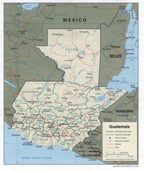
Guatemala Tourist Map
3912 miles away

Guatemala Cities and Town Topo Map
Topography map of cities and towns in Guatemal by Center for Integration of Natural Disaster...
3912 miles away
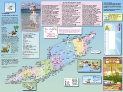
Anguilla Map
Tourist map of Anguilla Island. Shows all restaurants.
3912 miles away
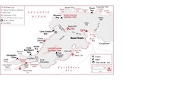
West Tortola Driving Tour Map
3913 miles away
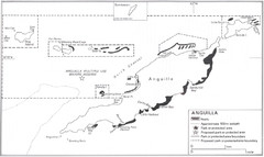
Anguilla Coral Reefs Map
Coral reef map of Anguilla Island.
3913 miles away
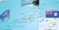
Anguilla Map
3913 miles away
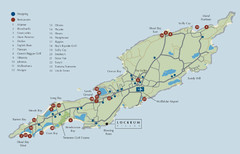
Anguilla Map
3913 miles away

