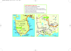
Basse-Terre Overview Map
Shows location of Hotel Le Jardin Malanga in southern Basse-Terre, Guadeloupe.
3779 miles away
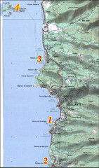
Bouillante West Coast Topo Map
Topo map of the west coast of island of Basse-Terre in the Guadeloupe Archipelago.
3782 miles away
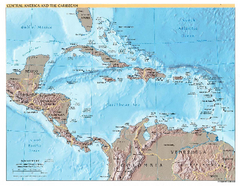
Central America and Caribbean Map
Map of Central America and Caribbean
3785 miles away
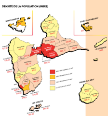
Guadeloupe Population Density Map
Population density of Guadeloupe Islands. A prefecture of France. Data as of 8/12/2003
3788 miles away
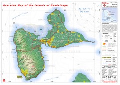
Guadeloupe Overview Map
Overview physical map of Basse-Terre and Grande-Terre Islands in the French Guadeloupe archipelago...
3790 miles away
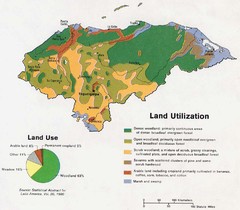
Honduras Land Use and Land Utilization, 1983 Map
3799 miles away
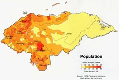
Honduras Population Map, 1974 Census Map
3799 miles away
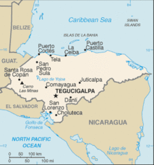
Honduras Map
3799 miles away
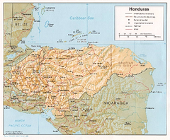
Honduras Relief Map, 1985 Map
3799 miles away
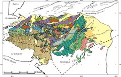
Honduras Geology Map
3799 miles away
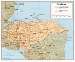
Honduras Tourist Map
3799 miles away
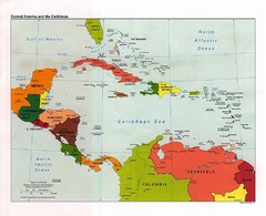
Caribbean Political Map
Political map of the Caribbean region. Scanned.
3800 miles away
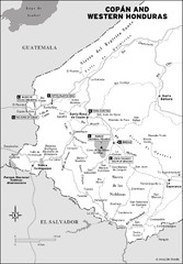
Western Honduras Map
3806 miles away

Honduras North coast Map
3810 miles away
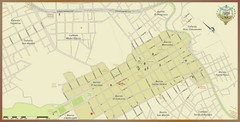
Santa Rosa de Copan, Honduras Tourist Map
Neighborhoods and aresa in Santa Rosa de Copan, Honduras
3816 miles away

Plymoth and enviorns Map
3817 miles away
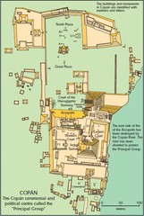
Copan Ruins Map
3817 miles away
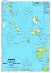
Leeward Islands Nautical Map
Nautical chart of the Leeward Islands in the Caribbean
3818 miles away

Montserrat lava flows Map
3819 miles away
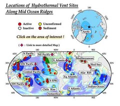
Global Map of Hydrothermal Vents
Map of underwater hydrothermal vents. Could not get to original to get more detailed areas. Vents...
3819 miles away
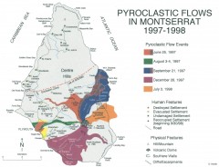
Pyroclastic flows in Montserrat 1997-1998 Map
Shows pyroclastic flows and destroyed settlements in 1997-1998.
3819 miles away
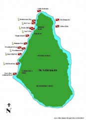
Montserrat Diving map
Diving map of Montserrat in the Caribbean. Shows all diving spots.
3819 miles away
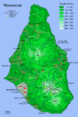
Montserrat Map
3820 miles away
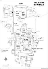
Copan Ruins Map
3828 miles away
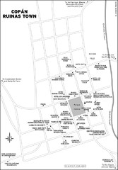
Copan Ruinas town Map
3828 miles away
Belize Hurricane Tracking Map
Hurricane Tracking Map for Belize, Central America. Includes warning flags and their meanings.
3833 miles away
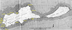
Islas del Cisne, Honduras Map
3840 miles away
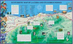
La Ceiba Ecotourism Map
Ecotourism map of La Ceiba, Honduras and its surroundings.
3841 miles away
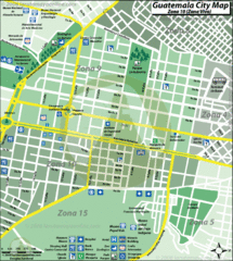
Guatemala City Tourist Map
3842 miles away
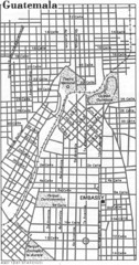
Guatemala City, Guatemala Tourist Map
3842 miles away
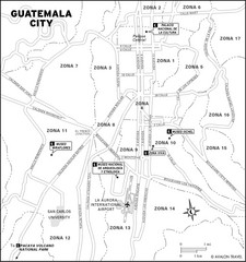
Guatemala City Tourist Map
Places of interest.
3842 miles away
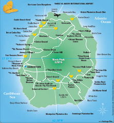
Nevis Tourist Map
Tourist map of Nevis Island, near St. Kitts. Shows inns, villages, and other points of interest.
3844 miles away
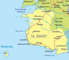
St Mary province Map
3844 miles away
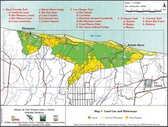
Refugio de Vida Silvestre Cuaro y Salado Mapa Map
Map of the Silvestre Cuaro and Salado Wildlife Refuge, Atlandida, Honduras.
3846 miles away
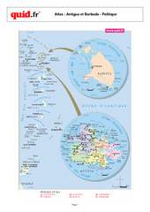
Antigua and Barbuda Regional Map
Map of island with detail of regional divides
3846 miles away
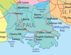
St. Paul province Map
3848 miles away
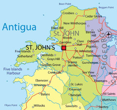
St. John province Map
3849 miles away
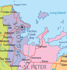
St. Peter and St. George provinces Map
3849 miles away

St. Kitts and Nevis Map
3851 miles away

