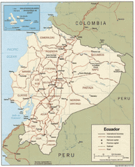
Ecuador Tourist Map
2531 miles away
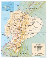
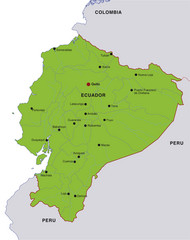
Ecuador map
Map of Ecuador showing provinces and capitols, major roads and rails
2531 miles away
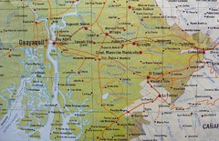
cerca de Guayaquil Map
2533 miles away

Ecuador National Parks Map
2542 miles away
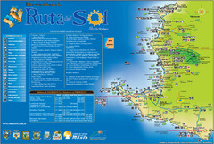
Ruta del Sol Tourist Map
Tourist map of the Ruta del Sol near Santa Elena, Ecuador. Shows points of interest
2543 miles away
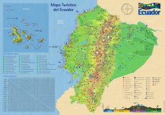
Ecuador Tourist Map
Detailed tourist map of Ecuador with inset of the Galapagos Islands. Shows National Parks and...
2544 miles away
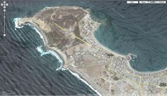
Peninsula de Santa Elena Map
2545 miles away
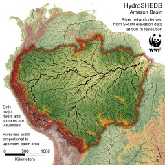
Amazon Basin Hydrosheds Map
Hydrosheds of the Amazon River Basin, the area drained by the Amazon River and its tributaries...
2556 miles away
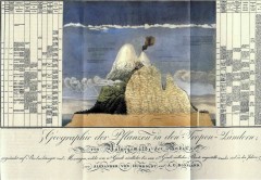
Humboldt's Scientific Representation of...
Alexander von Humboldt's scientific representation of the Chimborazo volcano in Ecuador...
2563 miles away
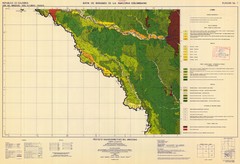
Forest Map of the Colombian Amazonia
2568 miles away
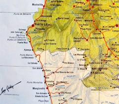
ruta del sol Map
2573 miles away
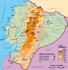
Ecuador Elevations Map
2592 miles away
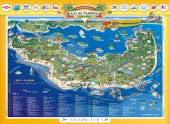
Ilha de Itaparica Tourist Map
Tourist map of Ilha de Itaparica, Brazil. In Portuguese.
2630 miles away
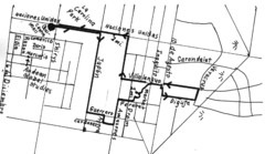
Quito Ecuador Townscape Walks Map
A book of hand-drawn maps with sketches for 12 great walks I designed in Quito, Ecuador.
2639 miles away
Quito Ecuador Townscape Walks Map
A book of hand-drawn maps with sketches for 12 great walks I designed in Quito, Ecuador.
2639 miles away
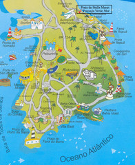
Salvador Tourism Map
2640 miles away
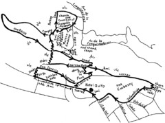
La Colina to Guapulo Map
Lovely walk from the hill top with wonderful views into the old neighborhood of Guapulo. 2.7 miles...
2644 miles away
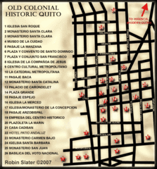
Old Colonial Historic Quito Map
Street map of Old Colonial area of Quito
2644 miles away
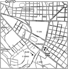
Quito, Ecuador Tourist Map
2644 miles away

Amazon River Map
Old map of the Amazon River and major tributaries.
2645 miles away
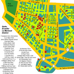
Mariscal District Quito Map
Tourist map of La Mariscal district of Quito
2646 miles away
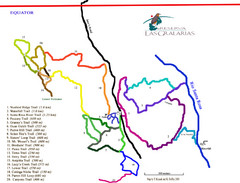
Reserva Las Gralarias Trail Map
2659 miles away
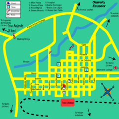
Otavalo City Map
2672 miles away

Floreana Island Map
2810 miles away

San Cristobal Island Map
2813 miles away
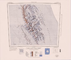
Vinson Massif Topo Map
Topo map of Vinson Massif, the highest mountain in Antarctica at 16067 ft / 4897 m. One of the...
2822 miles away
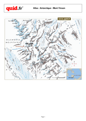
Mont Vinson Map
Map of Vinson Massif mountain range, the highest range in Antartica, 16,050 ft high. Located about...
2845 miles away
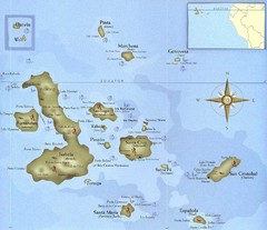
Galapagos Islands Tourist Map
Tourist map of the Galapagos Islands, Ecuador. Shows recreational activity locations.
2858 miles away
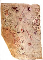
1513 Turkish Map of the Americas
First Turkish map to show Americas, summary of 20 older maps, drawn on gazelle skin. Very accurate...
2866 miles away

Isabela Island Map
2875 miles away
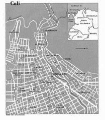
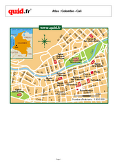
Cali City Tourist Map
2875 miles away
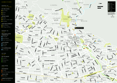
Cali City Map
2875 miles away

Galapagos Islands Map
2884 miles away
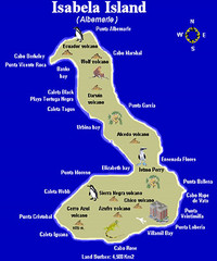
Isla Isabela Tourist Map
Tourist map of Isla Isabela in the Galapagos, Ecuador. Shows coastal features and wildlife.
2886 miles away

Fernandina Island Map
2898 miles away
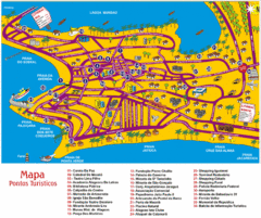
Tourism Map - Maceio, AL
2937 miles away

