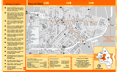
Obera Tourist Map
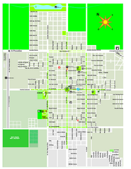
Tourist street map of city
49 miles away
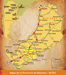
Misiones Province Map
Map of province with detail of main cities and towns
108 miles away
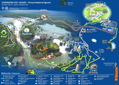
Iguasu Park Map
173 miles away
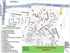
Puerto Iguazu Tourist Map
Tourist street map
176 miles away
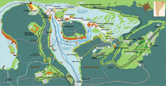
Iguazu National Park Map
Tourist map of park
176 miles away
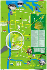
Iguacu Falls Tourist Map
Tourist map of Iguacu Falls, Brazil. Shows points of interest.
180 miles away
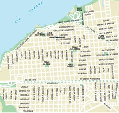
Corrientes City Map
Street map of city center
191 miles away
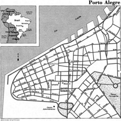
Porto Alegre City Map
310 miles away
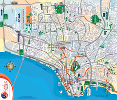
Porto Alegre Map
Street map of city
311 miles away
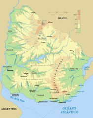
Uruguay physical Map
316 miles away
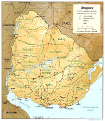
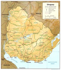
Uruguay (Shaded Relief) 1995 Map
319 miles away
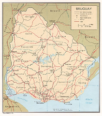
Uruguay (Political) 1973 Map
319 miles away
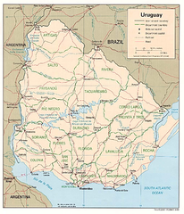
Uruguay (Political) 1995 Map
319 miles away
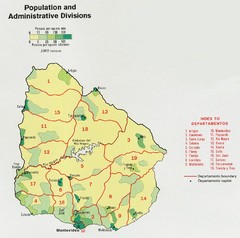
Uruguay Population Map
Uruguay's population by square mile is clearly marked on this map.
319 miles away
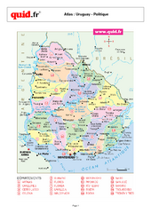
Uruguay Regional Map
Country map with detail of regional divides
319 miles away

Mississippi Airports Map
326 miles away
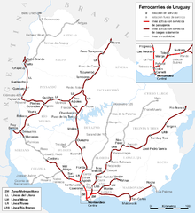
Uruguay Railroad system Map
333 miles away
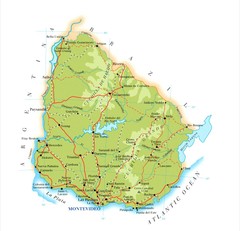
Uruguay Map
338 miles away
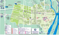
Concepcion del Uruguay Tourist Map
Tourist street map
349 miles away
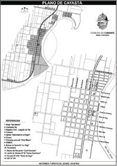
Cayasta Town Map
Street map of town
349 miles away
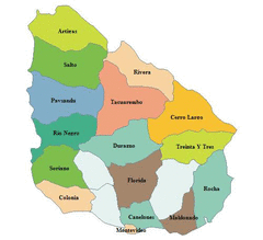
Uruguay Map
351 miles away

Paraguay Map
Map of Paraguay showing cities, roads, railroads and borders.
352 miles away
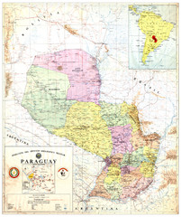
Official map of Paraguay
Official map of Paraguay, year 1993
352 miles away
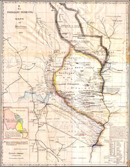
Wartime map of the Chaco
This 1933 map of the Chaco was made during the Chaco War between Paraguay and Bolivia and used by...
352 miles away
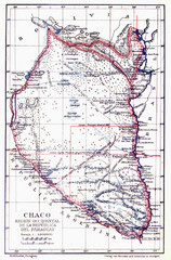
All the failed proposals to delimit the Chaco Map
Here you can see all the proposals to delimit the Chaco between 1879 and 1894. Everyone of them...
352 miles away
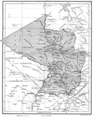
Map of Paraguay before the Chaco War
This is an internationally accepted map of Paraguay before the Chaco War (1932-35) made by Scottish...
352 miles away
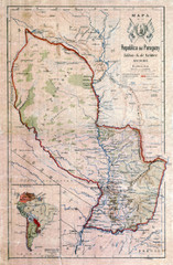
Map of Paraguay before the Chaco War
This dateless map of Paraguay that I scanned shows all the local claim over the Chaco (the northern...
352 miles away
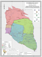
Ecological Region of the Chaco Map
This is the ecological Region of the Chaco shared between Paraguay and Bolivia
352 miles away
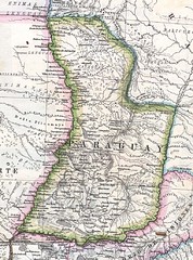
Paraguay Political Map 1875
Political map of Paraguay in 1875. Part of "Mapa Original de la Republica Argentina y Estados...
352 miles away

Paraguay political Map
363 miles away

Paraguay Map
368 miles away
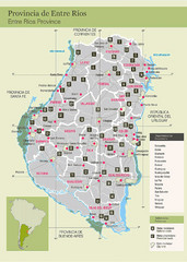
Entre Rios Province Map
Map of province with detail of main towns
376 miles away
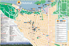
Parana Tourist Map
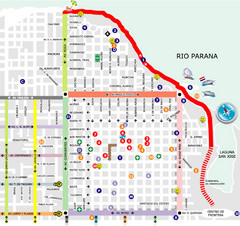
Street tourist map of city
389 miles away
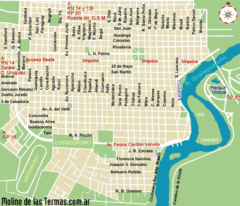
Gualeguaychu Street Map
Street map of city
389 miles away

