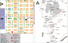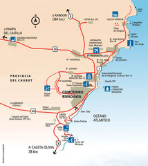
Comodoro Rivadavia Region Tourist Map
Tourist map of region
779 miles away
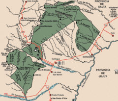
Calilegua National Park Map
Map of park with detail of various trails
837 miles away
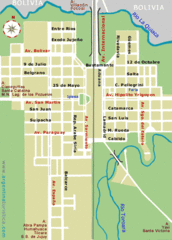
La Quiaca City Map
Street map of city
881 miles away

Parque Nacional Baritu Map
Map of park with detail of trails
913 miles away
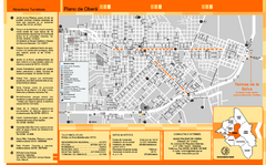
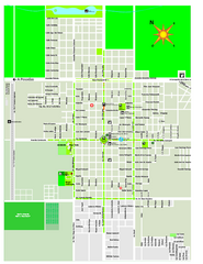
Obera Tourist Map
Tourist street map of city
924 miles away

Paraguay political Map
963 miles away

Paraguay Map
Map of Paraguay showing cities, roads, railroads and borders.
976 miles away
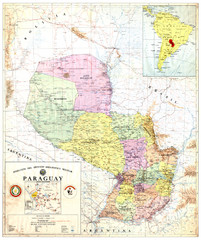
Official map of Paraguay
Official map of Paraguay, year 1993
976 miles away
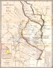
Wartime map of the Chaco
This 1933 map of the Chaco was made during the Chaco War between Paraguay and Bolivia and used by...
976 miles away
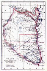
All the failed proposals to delimit the Chaco Map
Here you can see all the proposals to delimit the Chaco between 1879 and 1894. Everyone of them...
976 miles away
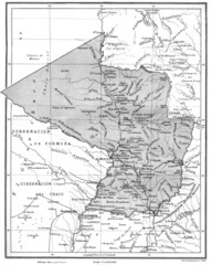
Map of Paraguay before the Chaco War
This is an internationally accepted map of Paraguay before the Chaco War (1932-35) made by Scottish...
976 miles away
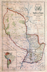
Map of Paraguay before the Chaco War
This dateless map of Paraguay that I scanned shows all the local claim over the Chaco (the northern...
976 miles away
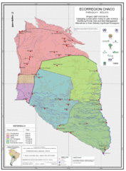
Ecological Region of the Chaco Map
This is the ecological Region of the Chaco shared between Paraguay and Bolivia
976 miles away
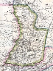
Paraguay Political Map 1875
Political map of Paraguay in 1875. Part of "Mapa Original de la Republica Argentina y Estados...
976 miles away
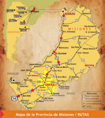
Misiones Province Map
Map of province with detail of main cities and towns
983 miles away
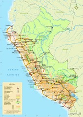
Western South America Tourist Map
986 miles away

Paraguay Map
994 miles away
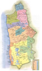
Tarapaca Region Political Map
999 miles away
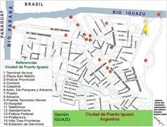
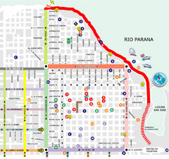
Puerto Iguazu Tourist Map
Tourist street map
1031 miles away
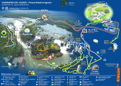
Iguasu Park Map
1034 miles away
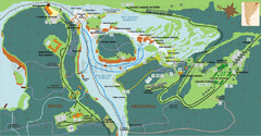
Iguazu National Park Map
Tourist map of park
1035 miles away
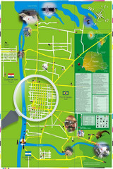
Iguacu Falls Tourist Map
Tourist map of Iguacu Falls, Brazil. Shows points of interest.
1036 miles away
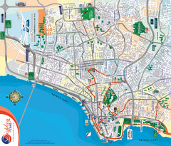
Porto Alegre Map
Street map of city
1047 miles away
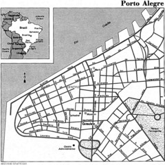
Porto Alegre City Map
1047 miles away
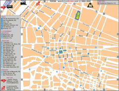
Potosi Center Map
Tourist street map of downtown Potosi
1052 miles away

Northern Chile Tourist Map
Provinces in Northern Chile
1059 miles away
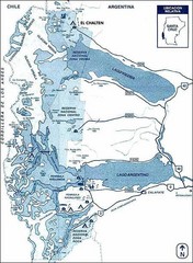
Los Glacieres Park Map
1082 miles away
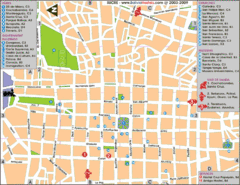
Downtown Sucre Map
Tourist street map of downtown Sucre
1094 miles away
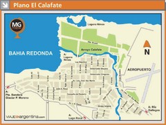
El Calafate City Map
Street map of downtown area
1105 miles away
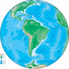
South America Globe Map
Guide to South America, in globe version, not flat
1112 miles away
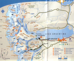
National Park, Perito Moreno Map
1117 miles away
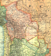
Bolivia and Paraguay in 1921 Map
1921 National Geographic Map of Bolivia and Paraguay before of the 1932-35 bloody war between those...
1120 miles away
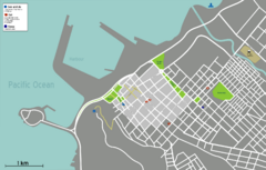
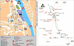
Arica Tourist Map
Tourist map of city of Arica, Chile. Shows attractions, restaurants, and accommodations.
1123 miles away

