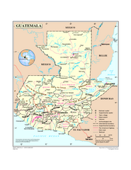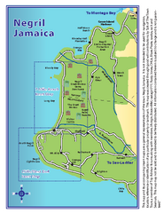
Negril Tourist and Beach Maps Map
Tourist maps and beach maps of Negril, Jamaica. Includes overview map, Negril 7-mile Beach map...
3720 miles away
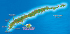
Roatan Island Tourist Map
3723 miles away
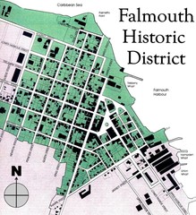
Falmouth Historic District Map
3724 miles away
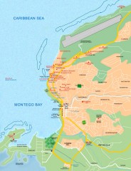
Tourist map of Montego Bay
Tourist map of Montego Bay in Jamaica.
3726 miles away
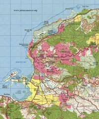
Montego bay topo Map
3726 miles away
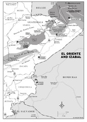
El Oriente and Izabal region Map
3726 miles away
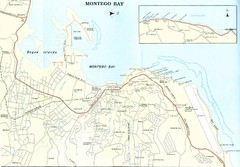
Montego Bay road Map
3726 miles away
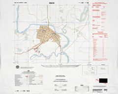
Hinche, Haiti Tourist Map
3726 miles away
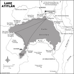
Lake Atitlan Map
3727 miles away
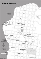
Puerto Barrios city Map
3729 miles away
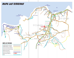
Las Terranas Map
Street map of Las Terranas, Dominican Republic.
3731 miles away
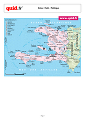
Haiti Regional Map
Country map with detail of regional divides
3733 miles away

Haiti and Jamaica Map
Detailed Map of Hispaniola and Jamaica. Colored in outline. Shows Jamaica Railway
3736 miles away
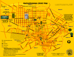
Quetzaltenango City Map
Large and detailed map.
3745 miles away
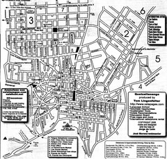
Quetzaltenango Street Map
Street map of Quetzaltenango, Guatemala
3745 miles away
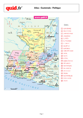
Guatemala Regional Map
Country map with detail of regional divides
3753 miles away
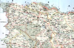
Dominican Republic North Region Road Map
Road map of the northwestern region of the Dominican Republic. Scanned.
3754 miles away

Caribbean Islands Map
Includes general maps of Caribbean, St. Vincent, St. Lucia, Guadeloupe, Cuba, Southern Florida...
3758 miles away
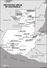
Protected areas of Guatemala Map
3758 miles away
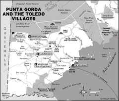
Punta Gorda and the Toledo villages Map
3759 miles away
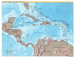
Central America Map
3771 miles away
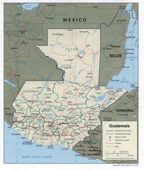
Guatemala Tourist Map
3772 miles away

Guatemala Cities and Town Topo Map
Topography map of cities and towns in Guatemal by Center for Integration of Natural Disaster...
3772 miles away
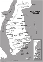
Placencia village Map
3776 miles away
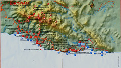
Baconao Map
3800 miles away
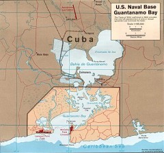
US Naval Base at Guantanamo Bay Map
Map of the area in Cuba that the US Navy leases, includes an airstrip and the Guantanamo Bay...
3804 miles away

"San Antonio Del Sur - Baracoa" Road Map
3805 miles away
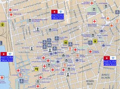
Santiago de Cuba Port and Center Map
Street tourist map of port and town center
3810 miles away
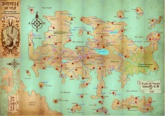
Mapa imaginario del Pais de HASARD Map
3810 miles away

Santiago de Cuba Map
3811 miles away

Guantanamo Map
3815 miles away

"Pilon-Bayamo" Road Map
3817 miles away

Turneffe Islands atoll Map
3818 miles away

"Santiago De Cuba - GuantAnamo" Road Map
3818 miles away
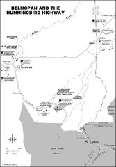
Belmopan and the Hummingbird highway Map
3818 miles away
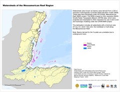
Watersheds of the Mesoamerican Reef Region Map
Map of watersheds or basins on map without elevation data
3820 miles away
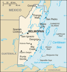
Belize Peaks and Rivers Map
3821 miles away
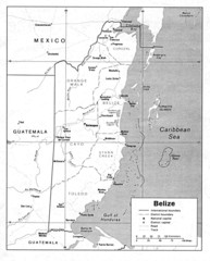
Belize (Political) U.S. Department of State 1990...
3821 miles away
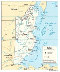
Belize Tourist Map
3821 miles away

