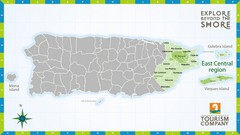
East Central Puerto Rico Map
3660 miles away
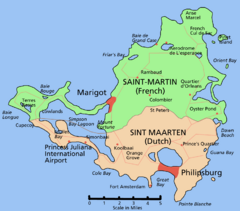
Saint Martin Map
Overview map shows entire island of Saint Martin (French) or Sint Maarten (Dutch).
3661 miles away
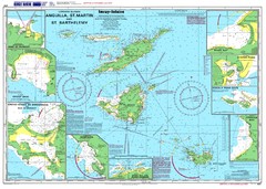
Anguilla St. Martin St. Barthelemy Nautical Map
Nautical map of Anguilla St. Martin St. Barthelemy. Shows insets of major ports.
3664 miles away

Tourist Map of Rincón Puerto Rico
Tourist map of Rincón and surrounding area. Features businesses and points of interest.
3665 miles away
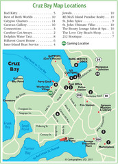
Cruz Bay St. John Map
3670 miles away
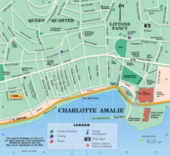
Charlotte Amalie U.S. Virgin Islands Map
3670 miles away
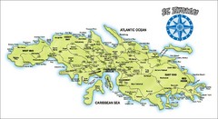
St. Thomas Island Map
Overview road map of island of St. Thomas in the U.S. Virgin Islands. Shows major roads, districts...
3670 miles away
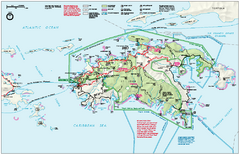
Virgin Islands National Park Map
Official NPS map of Virgin Islands National Park in the Virgin Islands. Map shows main island and...
3670 miles away
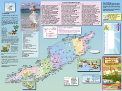
Anguilla Map
Tourist map of Anguilla Island. Shows all restaurants.
3671 miles away
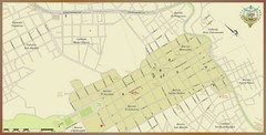
Santa Rosa de Copan, Honduras Tourist Map
Neighborhoods and aresa in Santa Rosa de Copan, Honduras
3671 miles away
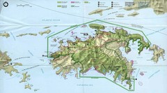
Virgin Islands National Park Tourist Map
3671 miles away
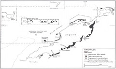
Anguilla Coral Reefs Map
Coral reef map of Anguilla Island.
3671 miles away
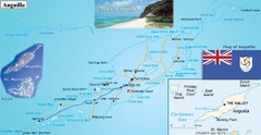
Anguilla Map
3671 miles away
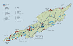
Anguilla Map
3671 miles away
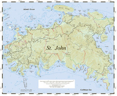
St. John Trail Map
Topographical trail map of St. John in the US Virgin Islands.
3671 miles away
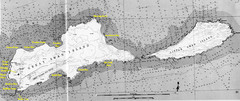
Islas del Cisne, Honduras Map
3672 miles away
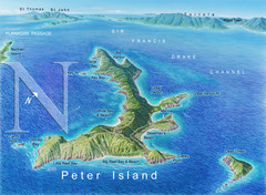
Peter Island BVI Map
3672 miles away
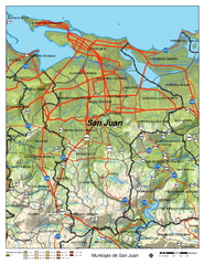
San Juan Road Map
Road map of San Juan, Puerto Rico area. Shows shaded elevation.
3672 miles away
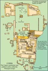
Copan Ruins Map
3672 miles away
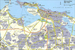
San Juan City Map
City Map of San Juan with information
3673 miles away
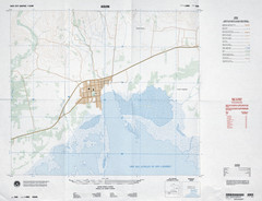
Aquin, Haiti Tourist Map
3674 miles away
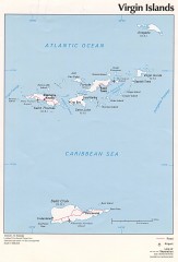
Map of the Virgin Islands
Map of the Virgin Islands
3674 miles away
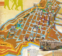
Old Town San Juan and El Morro Map
3675 miles away
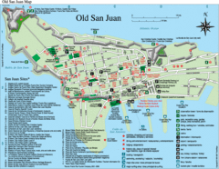
Old San Juan Tourist Map
City tourist map
3675 miles away
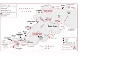
West Tortola Driving Tour Map
3675 miles away
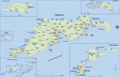
Map of Tortola Island
Tourist map of Tortola, the main island of the British Virgin Islands. Shows national parks and...
3677 miles away
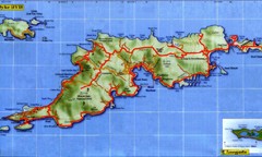
Tortola Island Map
3677 miles away
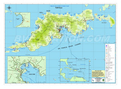
Tortola British Islands Tourist Map
Places of interest.
3677 miles away
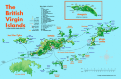
British Virgin Islands Tourist Map
Tourist map of British Virgin Islands with list of major attractions
3678 miles away
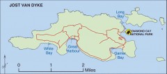
Jost Van Dyke map
Map of Jost Van Dyke island of the British Virgin Islands in the Caribbean.
3678 miles away
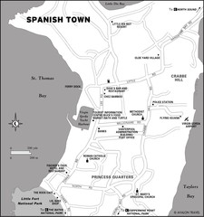
Spanish Town BVI Map
3680 miles away
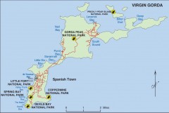
Map of Virgin Gorda
Map of Virgin Gorda in the British Virgin Islands. Shows national parks.
3681 miles away
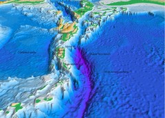
Atlantic Trench Bathymetric Map
3683 miles away
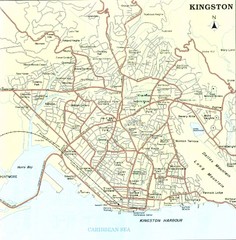
Kingston Street Map
Street map of city of Kingston, Jamaica.
3684 miles away
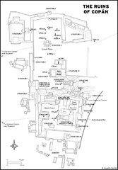
Copan Ruins Map
3684 miles away
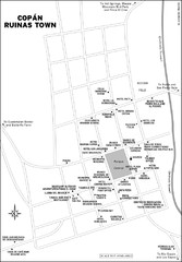
Copan Ruinas town Map
3685 miles away
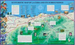
La Ceiba Ecotourism Map
Ecotourism map of La Ceiba, Honduras and its surroundings.
3685 miles away

Port Antonio road Map
3690 miles away

