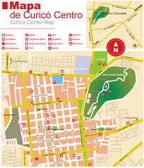
Curico Center Tourist Map
Tourist map of town center
167 miles away
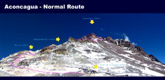
Aconcagua Normal Route Map
Shows the normal climbing route up Aconcagua, at 22,841 ft the highest mountain in the Americas and...
168 miles away

Santa Cruz South Map
Street map of city
172 miles away

Santa Cruz North Map
Street map of city
172 miles away
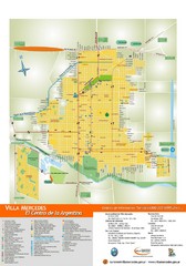
Villa Mercedes Tourist Map
Tourist street map of city
177 miles away
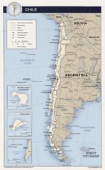
Chile Tourist Map
196 miles away
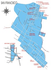
San Francisco Map
Street map of town
206 miles away
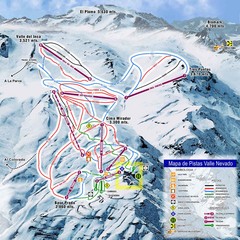
Valle Nevado Ski Resort Trail Map
Trail Map for Valle Nevado Ski Resort in Chile. Map includes lifts, mountain elevations and ski...
207 miles away
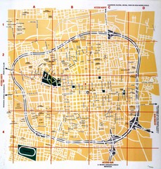
San Juan City Map
Street map of city
214 miles away
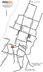
Barreal Map
Street map of town
217 miles away
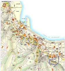
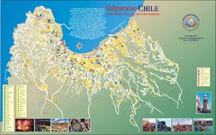
Valparaiso Tourist Map
Tourist map of central Valparaiso, Chile. Shows restaurants, bars, and other points of interest...
218 miles away
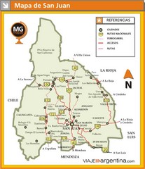
San Juan Province Map
Map of region with detail of main towns
224 miles away
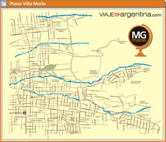
Villa de Merlo City Map
Street map of city
247 miles away
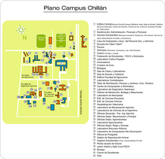
Universidad de Concepción Chillan Campus...
Campus map
253 miles away
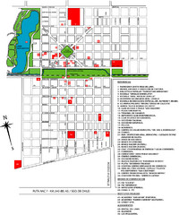
General Levalle Map
Street map
255 miles away
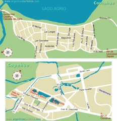
Caviahue & Copahue Map
Street maps of neighboring towns
271 miles away
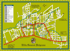
Villa General Belgrano Tourist Map
Tourist street map
284 miles away
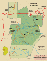
Quebrada del Condorito National Park Map
Map of park with detail of trails
296 miles away


