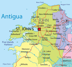
St. John province Map
3604 miles away
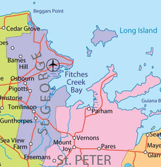
St. Peter and St. George provinces Map
3605 miles away
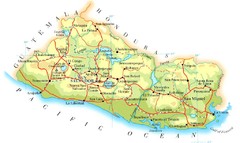
El Salvador Map
3607 miles away
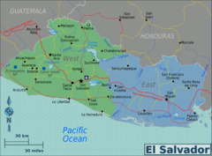
El Salvador regions Map
3608 miles away

St. Kitts and Nevis Map
3609 miles away
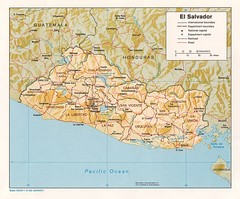
El Salvador Tourist Map
3611 miles away
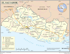
El Salvador Country Map
Map of El Salvador and surrounding countries.
3611 miles away
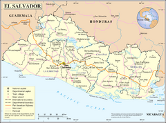
El Salvador Map
3611 miles away

St. Kitts and Nevis dive sites Map
3612 miles away
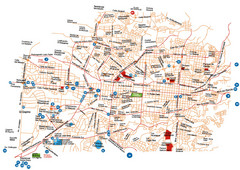
San Salvador Map
3613 miles away
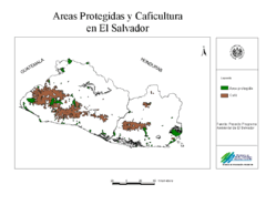
El Salvador coffee growing areas Map
3613 miles away
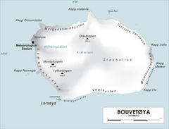
Bouvet Island Map
Map of Bouvet Island in the Southern Atlantic Ocean. Shows peaks and meteorological station.
3615 miles away
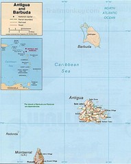
Antigua and Barbuda Map
Map of Antigua and Barbuda showing cities, roads and boundaries.
3620 miles away
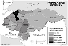
Honduras population density Map
3621 miles away
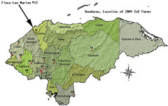
Coffee Plantations of Honduras Map
3623 miles away
Belize Hurricane Tracking Map
Hurricane Tracking Map for Belize, Central America. Includes warning flags and their meanings.
3626 miles away
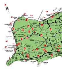
West St. Croix Map
3628 miles away
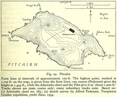
Historic Pitcairn Islands Map
Guide to Pitcairn Islands, a British overseas territory
3628 miles away
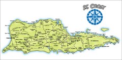
St. Croix Island Map
Overview map of island of St. Croix, US Virgin Islands. Shows districts, roads, and towns.
3629 miles away
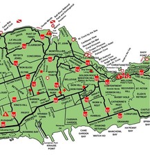
Central St. Croix Map
3629 miles away
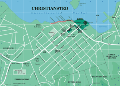
Christiansted Map
3629 miles away

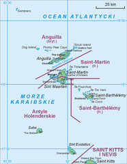
Leeward Islands Map
Guide to the Leeward Islands of the Caribbean, such as Saint Barthelemey, Saint Martin, Anguilla...
3629 miles away
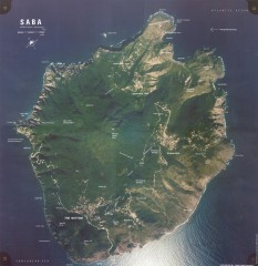
Saba aerial map
Aerial map of Saba. Shows major geological features and towns. Home of one of the world's...
3630 miles away
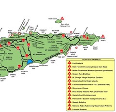
East St. Croix Map
3630 miles away
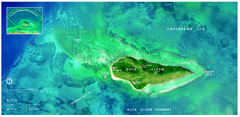
Buck Island Reef National Monument Map
Official NPS park map of Buck Island Reef National Monument off island of St. Croix in the US...
3633 miles away
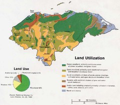
Honduras Land Use and Land Utilization, 1983 Map
3641 miles away
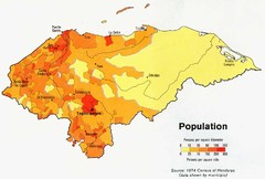
Honduras Population Map, 1974 Census Map
3641 miles away
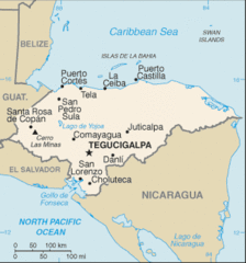
Honduras Map
3641 miles away
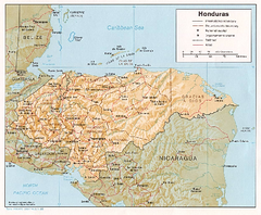
Honduras Relief Map, 1985 Map
3641 miles away
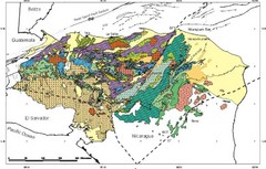
Honduras Geology Map
3641 miles away
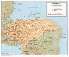
Honduras Tourist Map
3641 miles away
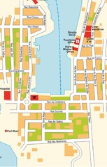
Gustavia Map
3650 miles away

St. Barthelemy Map
3651 miles away

Honduras North coast Map
3653 miles away
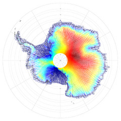
Antarctica Land and Ice Elevation Map
The colors on the map above represent ICESat’s measurements of Antarctica’s topography...
3656 miles away

Puerto Rico Tourist Map
Tourist map for Puerto Rico showing major roads, cities and the airport.
3657 miles away
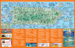
Puerto Rico Tourist Map
Map of island with detail of local tourist attractions
3658 miles away
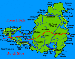
St. Maarten Beach Tourist Map
3658 miles away
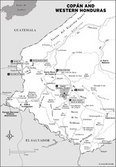
Western Honduras Map
3658 miles away
Saint Martin Map
3659 miles away

