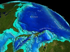
Caribbean Sea Bathymetry Map
3523 miles away
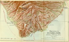
Guadeloupe British Military Operations 1810 Map
Map shows Guadeloupe British Military Operations by land and sea in 1810
3529 miles away
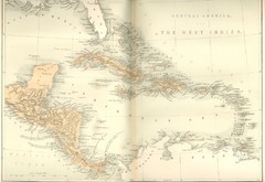
Central America and the West Indies Map
Historical Map of Central America and the West Indies Map
3533 miles away
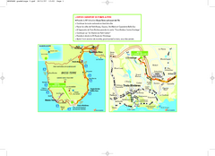
Basse-Terre Overview Map
Shows location of Hotel Le Jardin Malanga in southern Basse-Terre, Guadeloupe.
3534 miles away
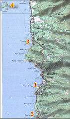
Bouillante West Coast Topo Map
Topo map of the west coast of island of Basse-Terre in the Guadeloupe Archipelago.
3537 miles away
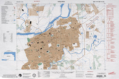
Choluteca Honduras Map
3538 miles away
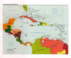
Central American and the Caribbean Political Map
3538 miles away
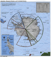
Antarctica 1986 Map
3539 miles away
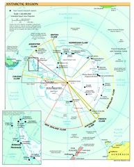
Antarctica Map
3539 miles away
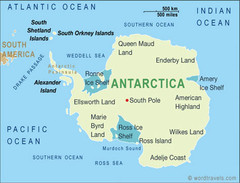
Antarctica Map
3539 miles away
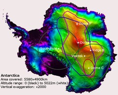
Antarctica Map
3539 miles away
Antarctica Map
3539 miles away

Antarctica Map
3539 miles away
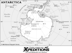
Antarctica Map
3539 miles away
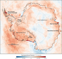
Antarctic Temperature Trend 1981-2007 Map
3539 miles away
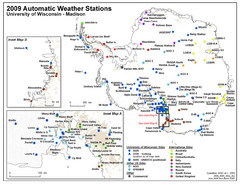
Antarctic Automatic Weather Stations Map
Map of all automatic weather stations in Antarctica
3539 miles away
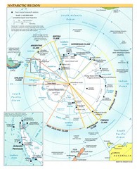
Antarctic Region Map
3539 miles away
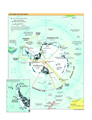
Antarctica Political Map 2005
Political map of Antarctica showing all country claims and bases.
3539 miles away
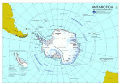
Antarctica Map
Overview map of Antarctica and the Southern ocean
3539 miles away
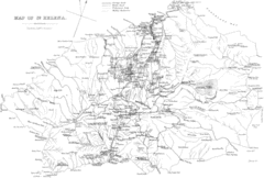
St Helena Historical Map
Map of St Helena by Fowler
3540 miles away
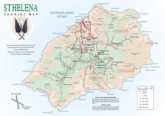
St. Helena Tourist Map
Tourist map of the remote island of St. Helena. Shows details of key locations, routes and...
3540 miles away
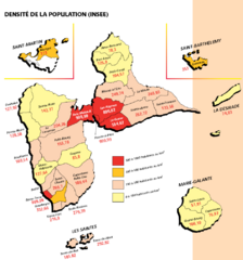
Guadeloupe Population Density Map
Population density of Guadeloupe Islands. A prefecture of France. Data as of 8/12/2003
3542 miles away
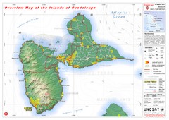
Guadeloupe Overview Map
Overview physical map of Basse-Terre and Grande-Terre Islands in the French Guadeloupe archipelago...
3544 miles away
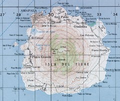
El Tigre Island Map
Topo map of volcanic island El Tigre Island
3547 miles away
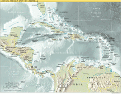
Overview map of Central America and the Caribbean
Shows the entire Caribbean region with names of islands/countries and major towns/cities.
3570 miles away

Plymoth and enviorns Map
3573 miles away
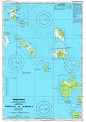
Leeward Islands Nautical Map
Nautical chart of the Leeward Islands in the Caribbean
3573 miles away

Montserrat lava flows Map
3575 miles away
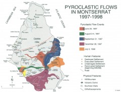
Pyroclastic flows in Montserrat 1997-1998 Map
Shows pyroclastic flows and destroyed settlements in 1997-1998.
3576 miles away
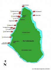
Montserrat Diving map
Diving map of Montserrat in the Caribbean. Shows all diving spots.
3576 miles away
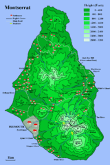
Montserrat Map
3576 miles away
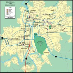
Tegucigalpa Map
3589 miles away
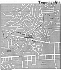
Tegucigalpa Honduras Map
3590 miles away
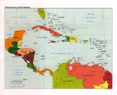
Caribbean Political Map
Political map of the Caribbean region. Scanned.
3596 miles away
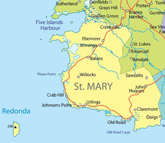
St Mary province Map
3600 miles away
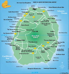
Nevis Tourist Map
Tourist map of Nevis Island, near St. Kitts. Shows inns, villages, and other points of interest.
3601 miles away
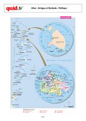
Antigua and Barbuda Regional Map
Map of island with detail of regional divides
3602 miles away
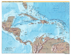
Central America and Caribbean Map
Map of Central America and Caribbean
3602 miles away
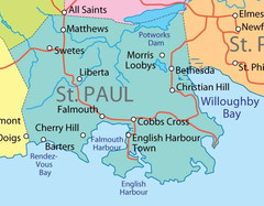
St. Paul province Map
3603 miles away
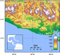
El Salvador topography Map
3603 miles away

