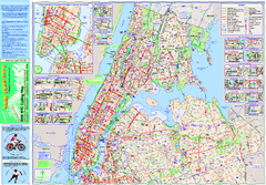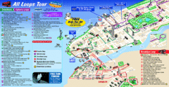
New York City Bus Tour Map
3 miles away
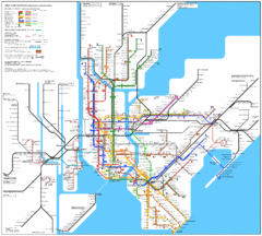
New York City Subway Map
3 miles away
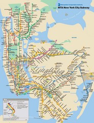
New York City Public Transportation Map
3 miles away
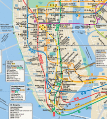
New York City Subway Map
3 miles away

Battery Park City Map
3 miles away
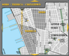
Chinatown New York City Tourist Map
3 miles away
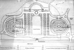
Central Park Conservatory Garden Map
Map of the Conservatory Garden in Central Park, New York City. Photo of outdoor map.
3 miles away

Downtown Manhattan Tourist Map
Detailed tourist map of Downtown Manhattan showing points of interest and modes of transportation
3 miles away
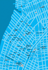
Williamsburg Art Gallery map
Map of Williamsburg and Greenpoint art galleries in Brooklyn, New York. Shows subway stops as well.
3 miles away
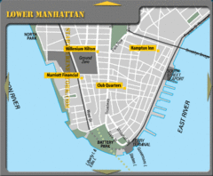
Lower Manhattan New York City Hotel Map
3 miles away
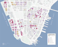
Lower Manhattan Map
3 miles away
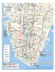
Lower Manhattan Public Transportation Map
Official MTA map of subway, bus, and ferry routes in Lower Manhattan.
3 miles away
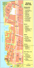
Battery Park City Map
City map of Battery Park City, an area of Manhattan, with art highlighted
3 miles away
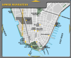
Lowe Manhattan New York City Tourist Map
4 miles away
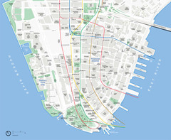
Lower Manhattan Map
4 miles away
Upper Riverside Park Map
Riverside Park Map, Visitor Information as well as streets, bus routes, places to jog and bike.
4 miles away
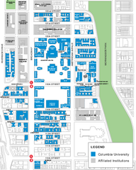
Columbia University Map
Campus map of Columbia University. All buildings shown.
4 miles away
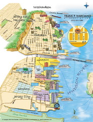
Jersey City, New Jersey City Map
Sketch of Jersey City and Hoboken, New Jersey
4 miles away
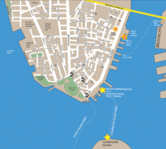
Lower Manhattan Area Map
4 miles away

Manhattan Waterfront Greenway Bike Map
Bike map of the Manhattan Waterfront Greenway. Shows walking and biking paths, ferry landings and...
4 miles away
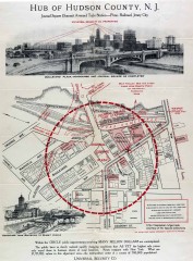
Antique map of Jersey City from 1925
Antique map of Jersey City, New Jersey from 1925.
4 miles away
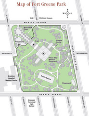
Fort Greene Park Map
Overview map of Fort Greene Park. Shows the park's historic structures and recreational...
4 miles away
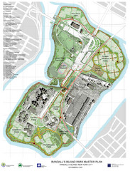
Randall's Island Park Map
Master plan for Randall's Island Park
5 miles away

Broadway Elevation Map
Illustrative section of Broadway, from 125th Street to 134th Street, looking east
5 miles away
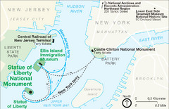
Statue of Liberty National Monument Map
Official NPS map of Statue of Liberty National Monument. Shows Statue of Liberty, Ellis Island, and...
5 miles away
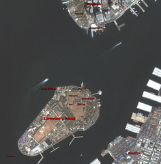
Governor's Island Map
Aerial photo view map of Governor's Island, New York
5 miles away
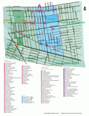
Clinton Hill Neighborhood map
Business and transportation map of the Clinton Hill neighborhood in Brooklyn, New York.
5 miles away
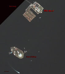
Ellis Island and Statue of Liberty Map
Aerial map of Ellis Island and the Statue of Liberty
5 miles away
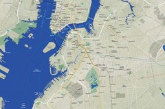
Brooklyn Map
5 miles away
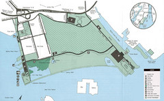
Liberty State Park Map
Map of Liberty State Park, New Jersey on the New York Harbor and next to Ellis Island. Shows...
5 miles away
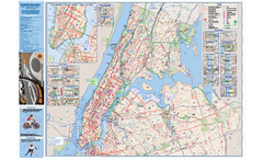
NYC Biking Route Map (Manhattan & Queens)
Official NYC biking map of Manhattan and Queens.
5 miles away
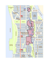
Hamilton Heights West Harlem Map
Hamilton Heights - West Harlem, New York City community map
5 miles away
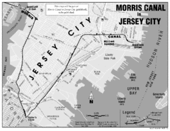
Jersey City Map
6 miles away
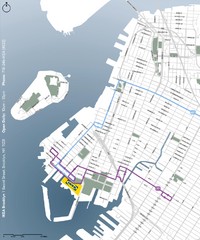
IKEA Brooklyn Map
Location map and map of bus routes and access streets to IKEA in Brooklyn, NY.
6 miles away
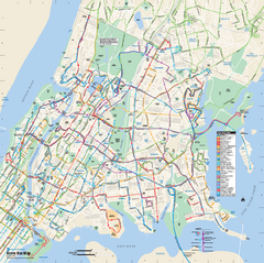
Bronx, New York Bus Map
Official MTA Bus Map of all of the Bronx, New York. Shows all routes.
6 miles away
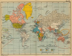
Colonial Posessions and Commercial Highways 1910...
Historical world map (1910) of various colonization and highway expansion
6 miles away
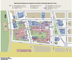
Columbia University Medical Center Map
6 miles away
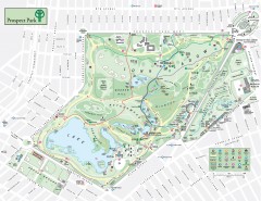
Prospect Park Map
Overview map of Prospect Park, a 585-acre city park located in the heart of Brooklyn. Designed by...
7 miles away
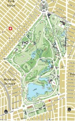
Prospect Park Map
7 miles away

