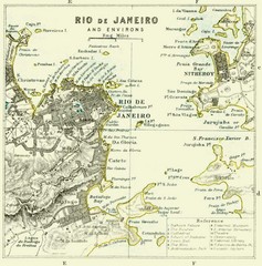
Rio De Janeiro Historical Map
Map of Rio De Janeiro, Brazil fro 1896. Map showis towns, buildings and roads.
2137 miles away
. Map
2137 miles away
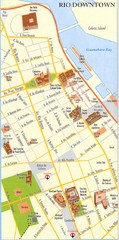
Rio de Janeiro Center Map
Street map of city center
2137 miles away
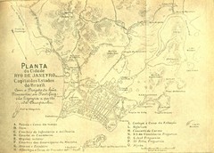
Rio De Janeiro Historical Map
Map of Rio De Janeiro, Brazil likely from 1769 showing the city streets and main buildings.
2138 miles away
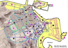
New and Old Rio de Janiero Map
Shows 2000 view of Rio de Janeiro, Brazil superimposed over 1838 Dufour map.
2138 miles away
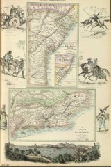
Middle Provinces of Brazil Map 1872
Map of province east coast of Brazil (Bahia) and province of Rio de Janeiro, Brazil 1872
2151 miles away
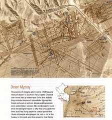
Nasca Lines Map
From National Geographic Magazine
2160 miles away
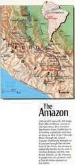
Headwaters of the Amazon Map
2176 miles away
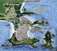
Arraial do Cabo Tourist Map
Tourist map of Arraial do Cabo, Brazil. Approx. 150 km from Rio de Janeiro. Hand-drawn panorama...
2179 miles away

Southern Peru Map
2199 miles away
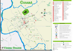
Cuiaba Tourist Map
Tourist street map of town
2206 miles away
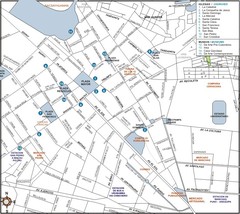
Central Cuzco Map
2224 miles away

Tambopata National Reserve Map
2229 miles away
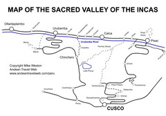
Sacred Valley Tourist Map
Map of Sacred Valley villages
2238 miles away
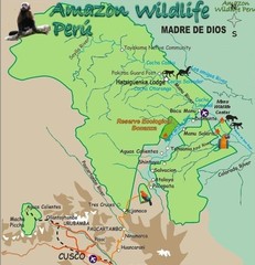
Amazon Region near Cuzco Map
2249 miles away
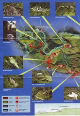
Inca Trail 1 of 2 Map
Scanned from the road system brochure given to hikers at KM82
2250 miles away
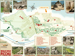
Machu Picchu tourist map
Map of Machu Picchu showing points of interest
2252 miles away
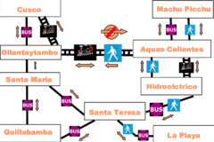
Cusco to Machu Picchu Transport Map
The Irish Guy's map of how to get from Cusco to Machu Picchu cheap.
2258 miles away
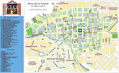
Ayacucho Tourist Map
Tourist map of town center
2262 miles away
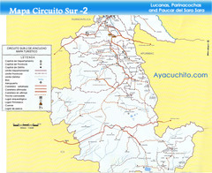
Southern Ayacucho Peru Tourist Map
Tourist Attractions, roads, cities and borders identified in Spanish.
2262 miles away
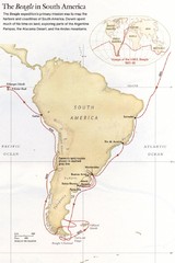
Darwin's South American Voyages 1831/36 Map
From National Geographic Magazine
2266 miles away
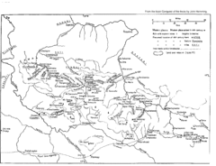
Vilcabamba Map
Shows the old Vilcabamba in Peru from the time of the Incas
2273 miles away
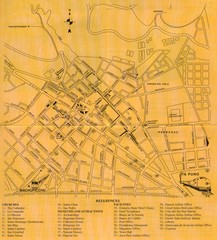
Cusco Map
2291 miles away
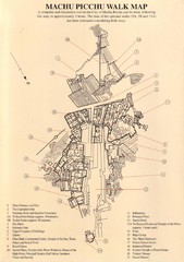
Machu Picchu Map
2294 miles away
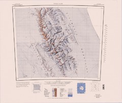
Vinson Massif Topo Map
Topo map of Vinson Massif, the highest mountain in Antarctica at 16067 ft / 4897 m. One of the...
2298 miles away
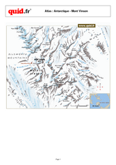
Mont Vinson Map
Map of Vinson Massif mountain range, the highest range in Antartica, 16,050 ft high. Located about...
2320 miles away
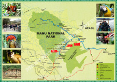
Manu National Park Map
2327 miles away
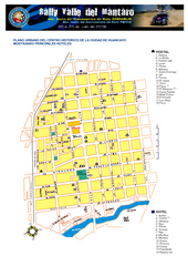
Huancayo Center Map
Map of city center with detail of local hostels
2346 miles away
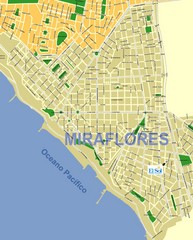
Miraflores Map
Map of Miraflores district in Lima
2362 miles away
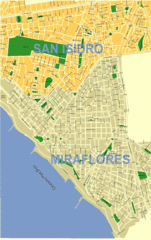
Lima City Map
City map of Lima, Peru showing San Isidro and Miraflores neighborhoods.
2362 miles away
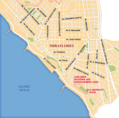
Lima Miraflores area Map
2362 miles away
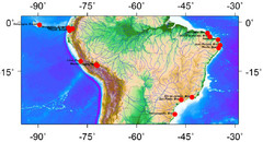
Latin America Climate Map
Latin America with Coastal Cities
2364 miles away
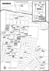
Huaraz Tourist Map
Cities and areas in Huaraz, Peru
2366 miles away

