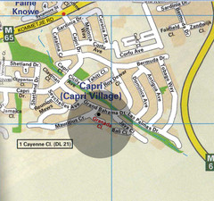
Capri Village Map
4483 miles away
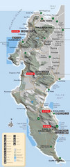
Cape Town Map
Map of marine-protected areas in and around Cape Town
4484 miles away
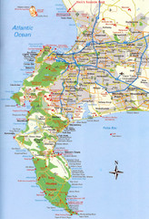
Cape Peninsula Map
4485 miles away
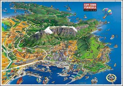
Cape Town Bird's Eye View Map
Bird's eye view tourist map of Cape Town and peninsula, South Africa.
4487 miles away
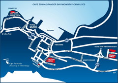
Cape Peninsula University of Technology Campus Map
Maps of Cape Peninsula U. of Technology campuses in Cape Town, Mowbray & Granger Bay
4487 miles away
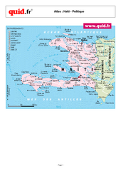
Haiti Regional Map
Country map with detail of regional divides
4487 miles away

Haiti and Jamaica Map
Detailed Map of Hispaniola and Jamaica. Colored in outline. Shows Jamaica Railway
4489 miles away
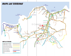
Las Terranas Map
Street map of Las Terranas, Dominican Republic.
4489 miles away
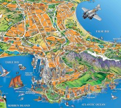
Capetown Tourist Map
Informal Map of Cape Town with several highlights of area attractions
4489 miles away
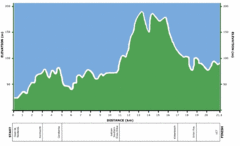
Two Oceans Half Marathon Elevation Map
Elevation map for the Two Oceans Half Marathon
4489 miles away
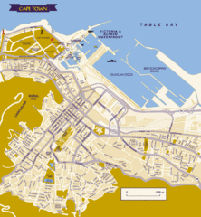
Cape Town City Tourist Map
Tourist Map of Cape Town, South Africa showing tourist attractions and street level detail of the...
4489 miles away
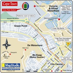
Green Point Stadium, Cape Town, South Africa Map
Location Map for Green Point Stadium, Green Point, Cape Town, Western Cape Province, South Africa...
4490 miles away
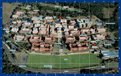
University of Cape Town Photo Map
Upper Campus Map of University of Cape Town - labeled photograph map.
4490 miles away
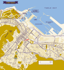
Cape Town Map
4490 miles away
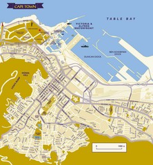
Cape Town City Map
City map of Cape Town
4490 miles away
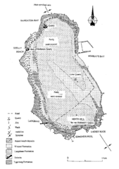
Robben Island Geological Map
4493 miles away
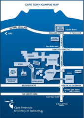
Cape Peninsula U. of Technology Map
Cape Town Campus Map
4493 miles away
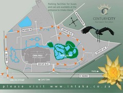
Century City Tourist Map
4495 miles away
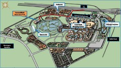
Waterview Park Map
4495 miles away
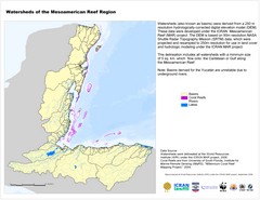
Watersheds of the Mesoamerican Reef Region Map
Map of watersheds or basins on map without elevation data
4505 miles away
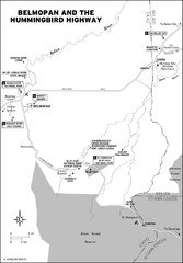
Belmopan and the Hummingbird highway Map
4507 miles away
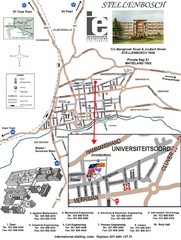
Stellenbosch University and Town Map
Map of Stellenbosch University campus as well as surrounding town
4509 miles away
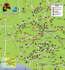
Stellenbosch Wine Route Map
Map of Stellenbosch showing routes to take to tour the wineries. 5 wine routes identified.
4509 miles away
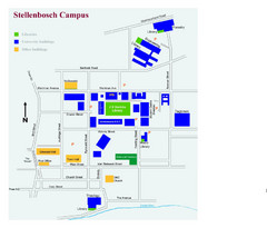
Stellenbosch Campus Map
Visitor's map of Stellenbosch Campus including all buildings and roads color-coded.
4509 miles away

Caribbean Islands Map
Includes general maps of Caribbean, St. Vincent, St. Lucia, Guadeloupe, Cuba, Southern Florida...
4509 miles away
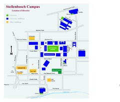
Stellenbosch Campus Map
Map of Stellenbosch University campus
4509 miles away
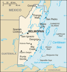
Belize Peaks and Rivers Map
4510 miles away
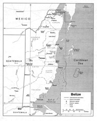
Belize (Political) U.S. Department of State 1990...
4510 miles away
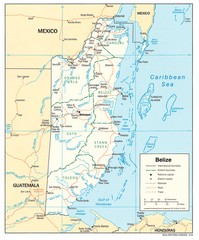
Belize Tourist Map
4510 miles away
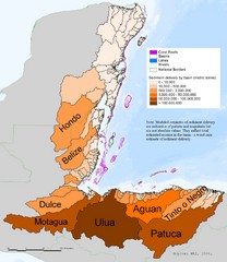
Annual Sediment Delivery from MAR Watersheds Map
This map shows which basins (or watersheds) deliver the most sediment on an annual basis to the...
4510 miles away
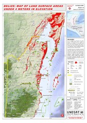
Belize Land Surface Areas Under 4 Meters Map
This map shows elevation areas in Belize under 4 meters in Red. This was the limit for the storm...
4510 miles away
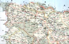
Dominican Republic North Region Road Map
Road map of the northwestern region of the Dominican Republic. Scanned.
4510 miles away

Turneffe Islands atoll Map
4510 miles away
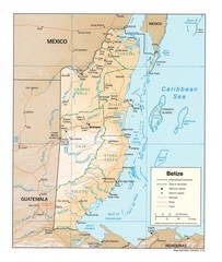
Belize Map
Map of Belize showing cities, rivers and district boundaries.
4511 miles away
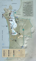
West Coast National Park Map
4511 miles away
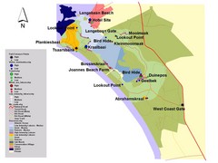
West Coast National Park of South Africa Map
Park map for West Coast National Park, South Africa showing park entrances, roads and points of...
4511 miles away
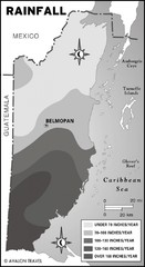
Belize rainfall Map
4514 miles away
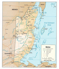
Belize Guide Map
4515 miles away
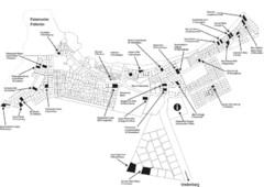
Paternoster Tourist Map
In South Africa
4515 miles away

