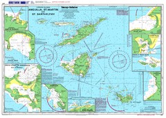
Anguilla St. Martin St. Barthelemy Nautical Map
Nautical map of Anguilla St. Martin St. Barthelemy. Shows insets of major ports.
4423 miles away

Tourist Map of Rincón Puerto Rico
Tourist map of Rincón and surrounding area. Features businesses and points of interest.
4424 miles away
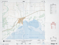
Aquin, Haiti Tourist Map
4426 miles away
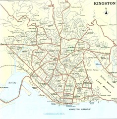
Kingston Street Map
Street map of city of Kingston, Jamaica.
4426 miles away
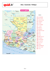
Guatemala Regional Map
Country map with detail of regional divides
4428 miles away
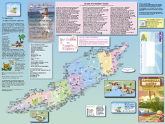
Anguilla Map
Tourist map of Anguilla Island. Shows all restaurants.
4429 miles away
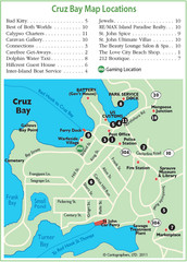
Cruz Bay St. John Map
4429 miles away
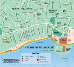
Charlotte Amalie U.S. Virgin Islands Map
4429 miles away
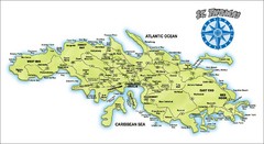
St. Thomas Island Map
Overview road map of island of St. Thomas in the U.S. Virgin Islands. Shows major roads, districts...
4429 miles away
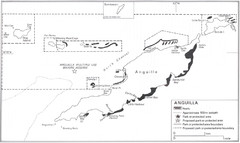
Anguilla Coral Reefs Map
Coral reef map of Anguilla Island.
4429 miles away
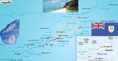
Anguilla Map
4429 miles away
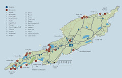
Anguilla Map
4429 miles away
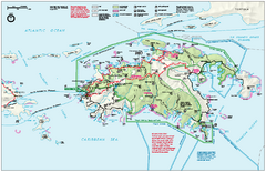
Virgin Islands National Park Map
Official NPS map of Virgin Islands National Park in the Virgin Islands. Map shows main island and...
4429 miles away
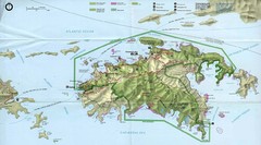
Virgin Islands National Park Tourist Map
4430 miles away
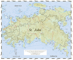
St. John Trail Map
Topographical trail map of St. John in the US Virgin Islands.
4430 miles away
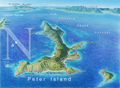
Peter Island BVI Map
4431 miles away
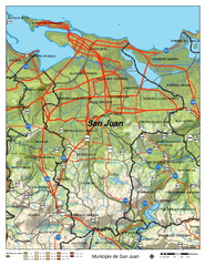
San Juan Road Map
Road map of San Juan, Puerto Rico area. Shows shaded elevation.
4432 miles away
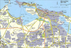
San Juan City Map
City Map of San Juan with information
4432 miles away
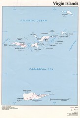
Map of the Virgin Islands
Map of the Virgin Islands
4434 miles away
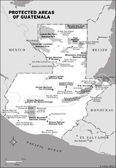
Protected areas of Guatemala Map
4434 miles away
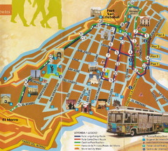
Old Town San Juan and El Morro Map
4434 miles away
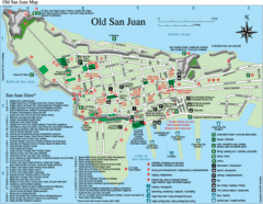
Old San Juan Tourist Map
City tourist map
4434 miles away

Port Antonio road Map
4434 miles away
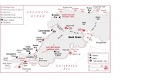
West Tortola Driving Tour Map
4434 miles away

Jamaica - Population, 1968 Map
4436 miles away

Jamaica - Land Utilization 1968 Map
4436 miles away
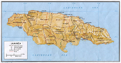
Jamaica (Shaded Relief) 1968 Map
4436 miles away

Jamaica (Shaded Relief) 2002 Map
4436 miles away

Jamaica (Political) 1968 Map
4436 miles away
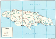
Jamaica (Political) 2002 Map
4436 miles away
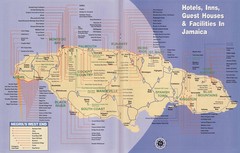
Jamaica Hotel Map
4436 miles away
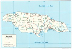
Jamaica Tourist Map
4436 miles away

Jamaica Map
Map of Jamaica, with detail of districts and main cities on the Island
4436 miles away
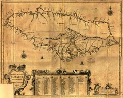
Jamaica Map
Map of historical Jamaica, including early settlements
4436 miles away

Jamaica Outline Map 1882
4436 miles away
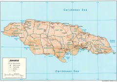
Map of Jamaica
Map of Jamaica, in the Carribbean.
4436 miles away
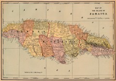
Antique map of Jamaica from 1901
"Map of the Island of Jamaica" from Cram's Modern Atlas the New Unrivaled. Published...
4436 miles away
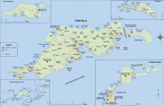
Map of Tortola Island
Tourist map of Tortola, the main island of the British Virgin Islands. Shows national parks and...
4436 miles away
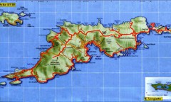
Tortola Island Map
4436 miles away

