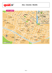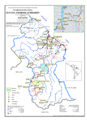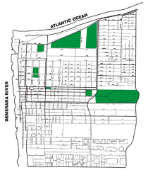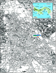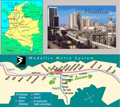
Medellin Metro Transit Map
Transportation map of metro throughout city of Medellin
3608 miles away
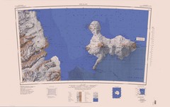
Ross Island Topo Map
Topo map of Ross Island, Antarctica. Shows US Mcmurdo Station, New Zealand Scott Base and volcanic...
3617 miles away
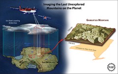
Gamburtsev Subglacial Mountains Map
First ever map of the last unexplored mountains on the planet, the Gamburtsev Subglacial Mountains...
3626 miles away
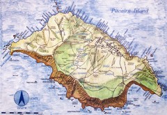
Pitcairn Island Map
3627 miles away
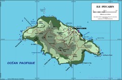
Pitcairn Island Map
3627 miles away
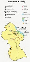
Guyana - Economic Activity, 1973 Map
3627 miles away

Venezuela relief Map
3633 miles away
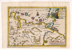
Antique Venezuela map
Very rare medium size map by Pieter van der Aa, published in his description of the Spanish...
3633 miles away
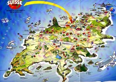
Fernando de Noronha Island Map
Tourist map of Ilha de Fernando de Noronha. Scanned.
3633 miles away
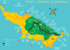
Ilha de Fernando de Noronha Map
3634 miles away
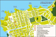
Cayenne City Map
City map of Cayenne, French Guiana. Shows a couple hotels and a workshop venue location
3644 miles away
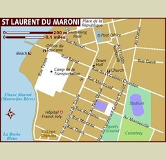
St. Laurent du Maroni Map
3653 miles away

Venezuela Indigenes populations Map
3655 miles away
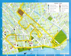
Paramaribo Suriname Tourist Map
Central Paramaribo, Suriname tourist map showing tourist sites, airports and city buildings.
3658 miles away

Venezuela Map
3669 miles away

Guyana - Ethnic Groups, 1973 Map
3684 miles away
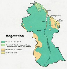
Guyana - Vegetation, 1973 Map
3684 miles away
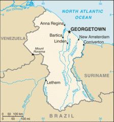
Guyana (Small Map) 2010 Map
3685 miles away
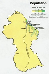
Guyana - Population 1973 Map
3685 miles away
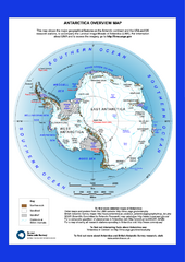
Antarctica Overview Map
Overview map of Antarctica shows geological features and US and UK research stations
3733 miles away
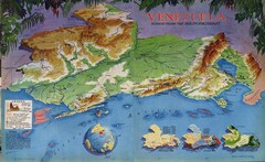
Venezuela from the North Map
Shows shaded relief of Venezuela with three thematic maps: population, states and physiograpy
3745 miles away
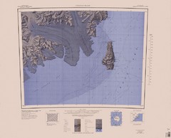
Coulman Island Map
An island 18 miles long and 8 miles wide
3768 miles away
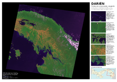
Darién: Frontera de conservación y...
Mapa de Darién: cobertura y uso de suelo 2004.
3777 miles away
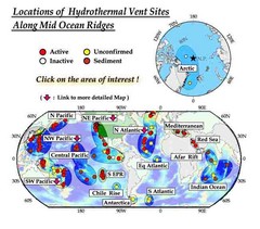
Global Map of Hydrothermal Vents
Map of underwater hydrothermal vents. Could not get to original to get more detailed areas. Vents...
3781 miles away
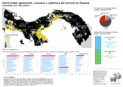
Electricidad: generación y consumo Map
3804 miles away
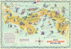
Panama Tourist Map
Tourist map of the Republic of Panama and the isthmus Canal Zone
3807 miles away

Panama Vegetation Map
3814 miles away
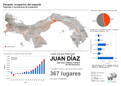
Población de Panamá 2000 Map
3814 miles away

Panama Vegetation Map
3814 miles away

Panama Population Map
3814 miles away
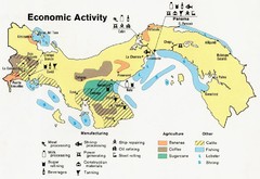
Panama Economic Activity, 1981 Map
3814 miles away
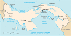
Panama Map
3814 miles away
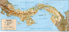
Panama (Shaded Relief) 1995 Map
3814 miles away
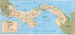
Panama (Political) 1995 Map
3814 miles away
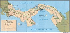
Panama Country Map
3814 miles away
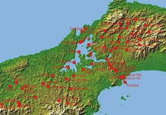
Panama Canal Authority (ACP) Meterological...
Panama Canal Authority (ACP) Meterological Monitoring stations are identified on map of Panama
3817 miles away

