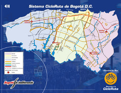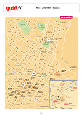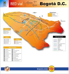
Bogota Transit Map
Transportation map of Bogota Central District (DC). Shows major transportation routes, libraries...
3488 miles away
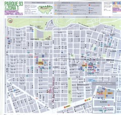
Zona Parque de la 93 Map
Mapa de la zona norte de Bogota (parque del Virrey, parque de la 93, Usaquen, Barrio Chico) Con...
3489 miles away
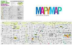
Zona Norte Bogota Map
3490 miles away
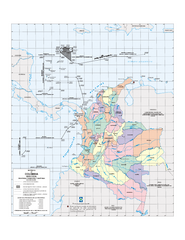
Official boundaries of Colombia Map
All the official boundaries of Colombia including the maritime ones.
3491 miles away
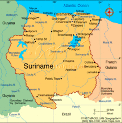
Suriname Map
Clear map marking cities and borders.
3517 miles away
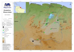
Suriname Overview Map
Country overview with settlement and main communication links.
3517 miles away
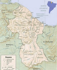
Guyana Map
Guide to the South American country of Guyana
3525 miles away
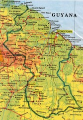
Guyana Topographic Map
Guide to Guyana, a country in South America
3528 miles away
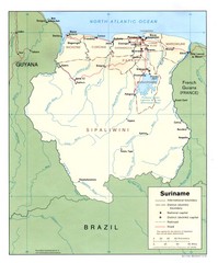
Suriname Map
3528 miles away
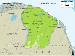
French Guiana Map
3536 miles away
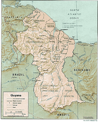
Guyana (Shaded Relief) 1991 Map
3539 miles away
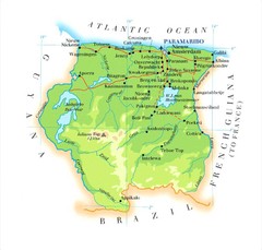
Surinam Map
3544 miles away
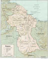
Guyana Tourist Map
3545 miles away
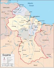
Guyana Country Map
3545 miles away

Angel Falls Oblique Map
3545 miles away
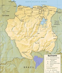
Surinam relief Map
3552 miles away

Auyan Tepui Map
3557 miles away
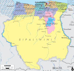
Surinam political Map
3557 miles away
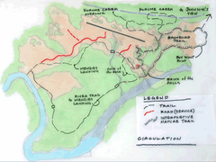
Kaieteur Falls Trail Map
Trail map of Kaieteur National Park in Guyana. Kaieteur Falls plummets 741 feet into the...
3560 miles away
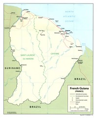
French Guiana Tourist Map
3563 miles away
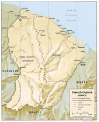
French Guiana Map
3563 miles away

Canaima Venezuela Map
Take off point to visit Angel Falls
3564 miles away
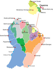
French Guiana political Map
3564 miles away
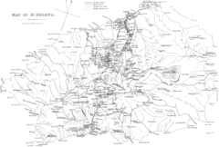
St Helena Historical Map
Map of St Helena by Fowler
3571 miles away
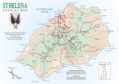
St. Helena Tourist Map
Tourist map of the remote island of St. Helena. Shows details of key locations, routes and...
3571 miles away
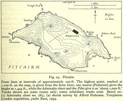
Historic Pitcairn Islands Map
Guide to Pitcairn Islands, a British overseas territory
3572 miles away
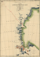
Map of Shackleton’s 1907-1909 Antarctic...
Eric Stewart Marshall's map of Shackleton's "Nimrod" expedition of 1907-09.
3578 miles away
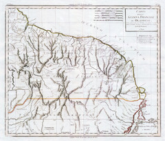
French Guiana 1824 Map
3583 miles away
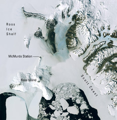
Ross Island McMurdo Station Area Landsat Map
Landsat mosaic map of the Ross Island / Ross Ice Shelf / U.S. McMurdo Station area
3596 miles away
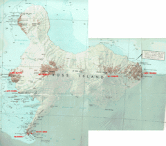
Ross Island Map
Topo map of Ross Island, home of the US McMurdo Station, Mt. Erebus, Mt. Terror, Cape Evans, Cape...
3597 miles away
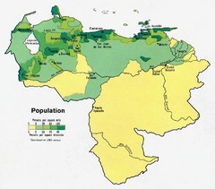
Venezuela Population Map
Map marking population per square mile.
3601 miles away
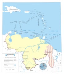
Official boundaries of Venezuela Map
All the official boundaries of Venezuela including the maritime ones.
3601 miles away
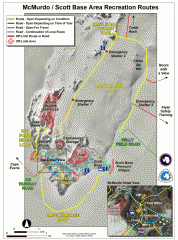
McMurdo and Scott Base Area Recreation Route Map
Shows roads around McMurdo Station (US) and Scott Base (New Zealand) Antarctic research stations on...
3602 miles away
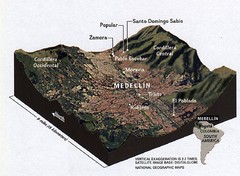
Medellin physical oblique map
From National Geographic Magazine
3607 miles away
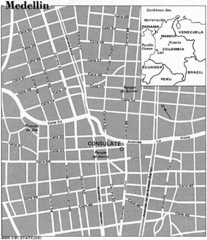
Medellin City Tourist Map
3608 miles away
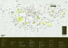
Medellin City Map
3608 miles away
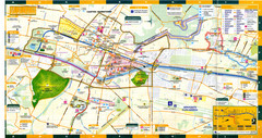
Medellin Map
3608 miles away
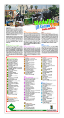
Medellin Turistico Map
3608 miles away

