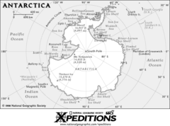
Antarctica Map
2837 miles away
Antarctica Map
2837 miles away
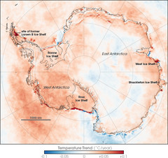
Antarctic Temperature Trend 1981-2007 Map
2837 miles away
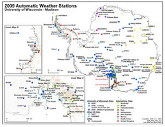
Antarctic Automatic Weather Stations Map
Map of all automatic weather stations in Antarctica
2837 miles away
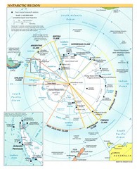
Antarctic Region Map
2837 miles away
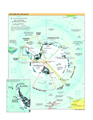
Antarctica Political Map 2005
Political map of Antarctica showing all country claims and bases.
2837 miles away
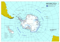
Antarctica Map
Overview map of Antarctica and the Southern ocean
2837 miles away
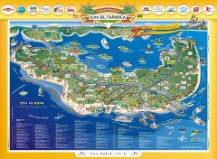
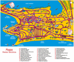
Ilha de Itaparica Tourist Map
Tourist map of Ilha de Itaparica, Brazil. In Portuguese.
2870 miles away
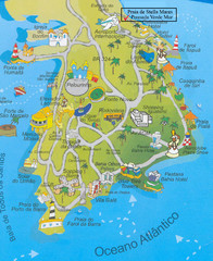
Salvador Tourism Map
2879 miles away
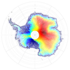
Antarctica Land and Ice Elevation Map
The colors on the map above represent ICESat’s measurements of Antarctica’s topography...
2909 miles away
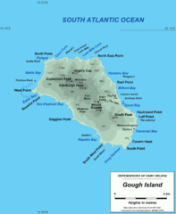
Gough Island Map
2948 miles away
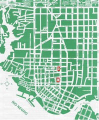
Manaus Center Map
Street map of city center
2987 miles away
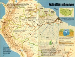
Amazon River Basin Map
From National Geographic Magazine
2989 miles away
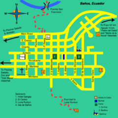
Banos Map
Simple map and legend of this small city.
3012 miles away
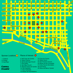
Cuenca Street Map
Streets and more are marked on this map and legend.
3013 miles away
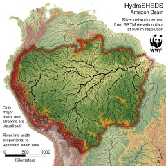
Amazon Basin Hydrosheds Map
Hydrosheds of the Amazon River Basin, the area drained by the Amazon River and its tributaries...
3037 miles away
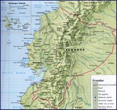
Ecuador Relief Map
3050 miles away
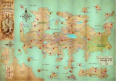
Mapa imaginario del Pais de HASARD Map
3052 miles away
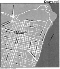
Guayaquil, Ecuador Tourist Map
3072 miles away
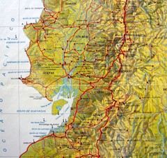
Relieve del Ecuador Map
3072 miles away
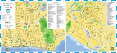
Guayaquil Tourist Map
Shows center and north sectors of Guayaquil, Ecuador. Shows points of interest. In Spanish.
3073 miles away
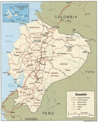
Ecuador Tourist Map
3077 miles away
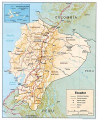
Ecuador map
Map of Ecuador showing provinces and capitols, major roads and rails
3077 miles away
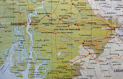
cerca de Guayaquil Map
3077 miles away
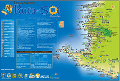
Ruta del Sol Tourist Map
Tourist map of the Ruta del Sol near Santa Elena, Ecuador. Shows points of interest
3086 miles away

Ecuador National Parks Map
3087 miles away
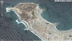
Peninsula de Santa Elena Map
3087 miles away
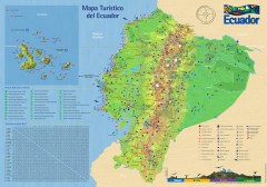
Ecuador Tourist Map
Detailed tourist map of Ecuador with inset of the Galapagos Islands. Shows National Parks and...
3089 miles away
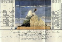
Humboldt's Scientific Representation of...
Alexander von Humboldt's scientific representation of the Chimborazo volcano in Ecuador...
3108 miles away
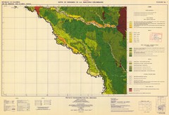
Forest Map of the Colombian Amazonia
3111 miles away
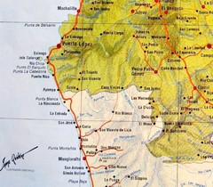
ruta del sol Map
3116 miles away

Amazon River Map
Old map of the Amazon River and major tributaries.
3117 miles away
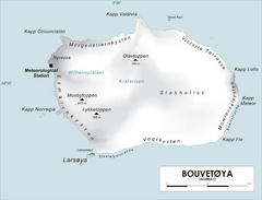
Bouvet Island Map
Map of Bouvet Island in the Southern Atlantic Ocean. Shows peaks and meteorological station.
3133 miles away
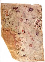
1513 Turkish Map of the Americas
First Turkish map to show Americas, summary of 20 older maps, drawn on gazelle skin. Very accurate...
3135 miles away
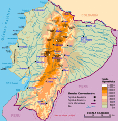
Ecuador Elevations Map
3138 miles away
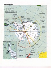
Antarctic Region Political Map 1997
Map centered on South Pole shows all country claims in Antarctica. Also shows year-round research...
3165 miles away
Tourism Map - Maceio, AL
3173 miles away

