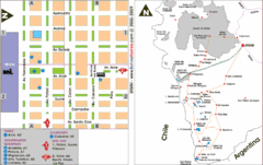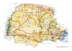
Paraguay political Map
1525 miles away
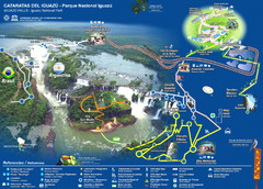
Iguasu Park Map
1526 miles away
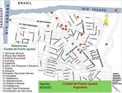
Puerto Iguazu Tourist Map
Tourist street map
1527 miles away
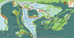
Iguazu National Park Map
Tourist map of park
1528 miles away
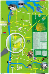
Iguacu Falls Tourist Map
Tourist map of Iguacu Falls, Brazil. Shows points of interest.
1531 miles away

Paraguay Map
Map of Paraguay showing cities, roads, railroads and borders.
1535 miles away
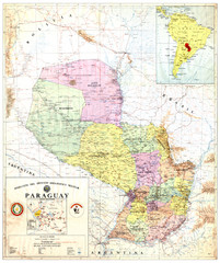
Official map of Paraguay
Official map of Paraguay, year 1993
1535 miles away
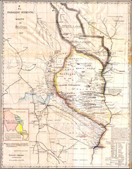
Wartime map of the Chaco
This 1933 map of the Chaco was made during the Chaco War between Paraguay and Bolivia and used by...
1535 miles away
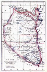
All the failed proposals to delimit the Chaco Map
Here you can see all the proposals to delimit the Chaco between 1879 and 1894. Everyone of them...
1535 miles away
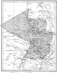
Map of Paraguay before the Chaco War
This is an internationally accepted map of Paraguay before the Chaco War (1932-35) made by Scottish...
1535 miles away
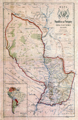
Map of Paraguay before the Chaco War
This dateless map of Paraguay that I scanned shows all the local claim over the Chaco (the northern...
1535 miles away
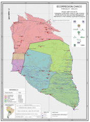
Ecological Region of the Chaco Map
This is the ecological Region of the Chaco shared between Paraguay and Bolivia
1535 miles away
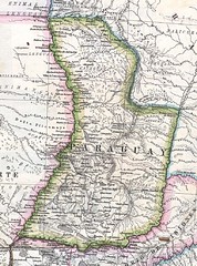
Paraguay Political Map 1875
Political map of Paraguay in 1875. Part of "Mapa Original de la Republica Argentina y Estados...
1535 miles away

Paraguay Map
1553 miles away
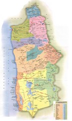
Tarapaca Region Political Map
1575 miles away
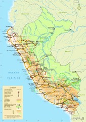
Western South America Tourist Map
1578 miles away

Northern Chile Tourist Map
Provinces in Northern Chile
1636 miles away
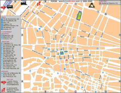
Potosi Center Map
Tourist street map of downtown Potosi
1646 miles away
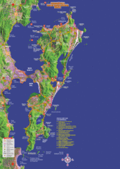
Florianopolis Tourist Map
Tourist map of of Florianopolis, Brazil, known as Floripa. A popular beach party destination
1656 miles away
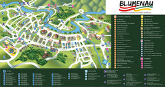
Blumenau Tourist Map
Tourist street map of city
1668 miles away

Mississippi Airports Map
1677 miles away
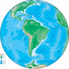
South America Globe Map
Guide to South America, in globe version, not flat
1684 miles away
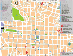
Downtown Sucre Map
Tourist street map of downtown Sucre
1688 miles away
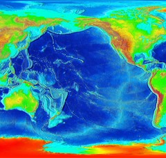
Pacific Elevation Map
Elevation Map of the Pacific Ocean and surrounding continents
1690 miles away
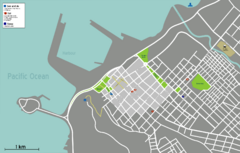
Arica Tourist Map
Tourist map of city of Arica, Chile. Shows attractions, restaurants, and accommodations.
1691 miles away
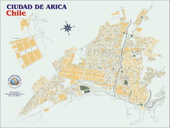
Arica Street Map
Street map of Arica, Chile.
1692 miles away
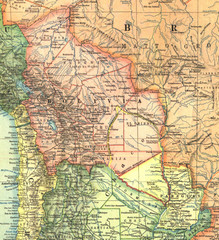
Bolivia and Paraguay in 1921 Map
1921 National Geographic Map of Bolivia and Paraguay before of the 1932-35 bloody war between those...
1715 miles away
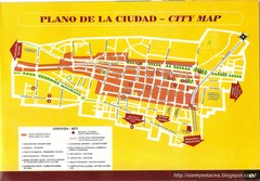
Tacna Tourist Map
Tourist map of city center
1723 miles away
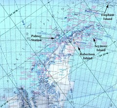
Antarctic Peninsula Map
Physical map of Antarctic Peninsula
1724 miles away
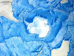
Ocean Floor Around Antarctica Map
Relief map of ocean floor around Antarctica
1728 miles away
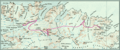
South Georgia Island Shackleton Route 1916 Map
Detailed view of South Georgia Island showing explorer Shackleton's 1916 overland route for...
1731 miles away

Altiplano in Western Bolivia Map
1733 miles away
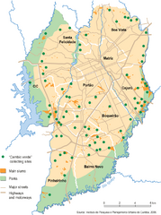
Curitiba City Map
Curitiba city overview map
1737 miles away
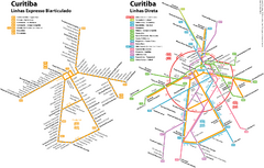
Curitiba Public Transportation Map
1737 miles away
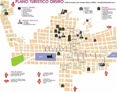
Oruro Tourist Map
Tourist street map of town
1742 miles away
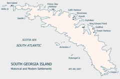
South Georgia Island Settlement Map
Shows historical and modern settlements on South Georgia Island
1744 miles away
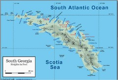
South Georgia and the South Sandwich Islands Map
Guide to the South Georgia and South Sandwich Islands, a British overseas territory and penguin...
1746 miles away


