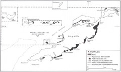
Anguilla Coral Reefs Map
Coral reef map of Anguilla Island.
3821 miles away
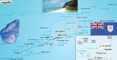
Anguilla Map
3821 miles away
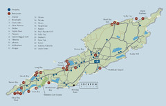
Anguilla Map
3821 miles away
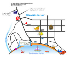
San Juan Del Sur Tourist Map
3822 miles away
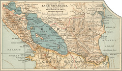
Early map of Nicaragua Canal
This was the original route for a canal across Central America
3837 miles away
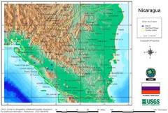
Nicaragua City and Town Elevation Map
Elevation map of Nicaragua with cities, towns, and airports detail.
3840 miles away
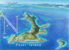
Peter Island BVI Map
3842 miles away
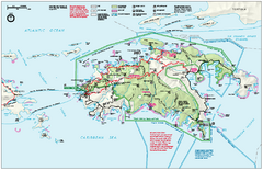
Virgin Islands National Park Map
Official NPS map of Virgin Islands National Park in the Virgin Islands. Map shows main island and...
3842 miles away
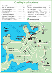
Cruz Bay St. John Map
3842 miles away
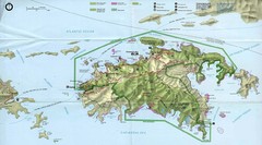
Virgin Islands National Park Tourist Map
3843 miles away
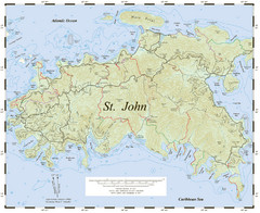
St. John Trail Map
Topographical trail map of St. John in the US Virgin Islands.
3843 miles away
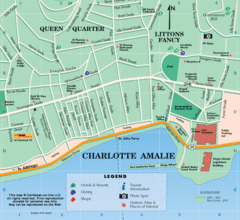
Charlotte Amalie U.S. Virgin Islands Map
3844 miles away
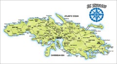
St. Thomas Island Map
Overview road map of island of St. Thomas in the U.S. Virgin Islands. Shows major roads, districts...
3845 miles away
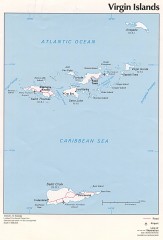
Map of the Virgin Islands
Map of the Virgin Islands
3845 miles away
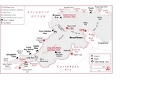
West Tortola Driving Tour Map
3846 miles away
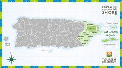
East Central Puerto Rico Map
3847 miles away
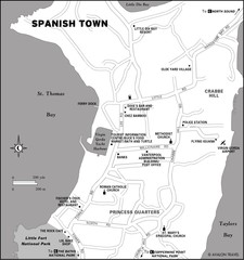
Spanish Town BVI Map
3847 miles away
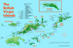
British Virgin Islands Tourist Map
Tourist map of British Virgin Islands with list of major attractions
3848 miles away
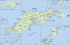
Map of Tortola Island
Tourist map of Tortola, the main island of the British Virgin Islands. Shows national parks and...
3848 miles away
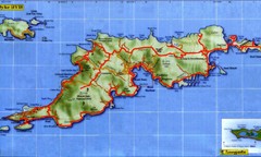
Tortola Island Map
3848 miles away
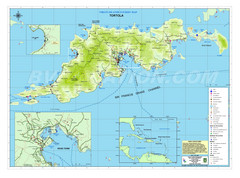
Tortola British Islands Tourist Map
Places of interest.
3848 miles away
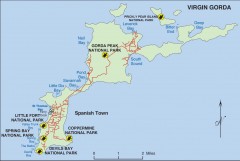
Map of Virgin Gorda
Map of Virgin Gorda in the British Virgin Islands. Shows national parks.
3848 miles away
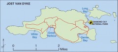
Jost Van Dyke map
Map of Jost Van Dyke island of the British Virgin Islands in the Caribbean.
3850 miles away
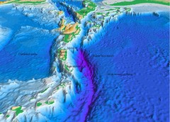
Atlantic Trench Bathymetric Map
3851 miles away
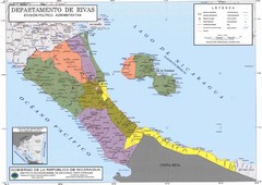
Political divisions of southern Nicaragua Map
3852 miles away
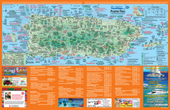
Puerto Rico Tourist Map
Map of island with detail of local tourist attractions
3853 miles away

Puerto Rico Tourist Map
Tourist map for Puerto Rico showing major roads, cities and the airport.
3853 miles away
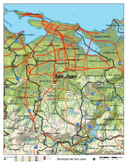
San Juan Road Map
Road map of San Juan, Puerto Rico area. Shows shaded elevation.
3862 miles away
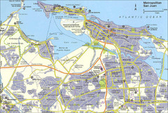
San Juan City Map
City Map of San Juan with information
3862 miles away
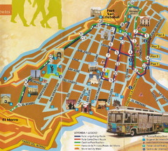
Old Town San Juan and El Morro Map
3864 miles away
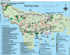
Old San Juan Tourist Map
City tourist map
3864 miles away
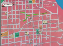
Granada, Nicaraugua Map
3865 miles away

Map of Anegada
Map of Anegada island of the British Virgin Islands.
3866 miles away

Tourist Map of Rincón Puerto Rico
Tourist map of Rincón and surrounding area. Features businesses and points of interest.
3869 miles away
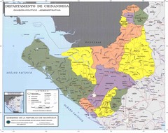
Political divisions of northeastern Nicaragua Map
3876 miles away
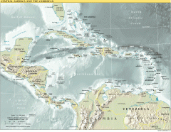
Overview map of Central America and the Caribbean
Shows the entire Caribbean region with names of islands/countries and major towns/cities.
3880 miles away
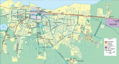
Managua Map
3887 miles away
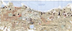
Managua City Map
3889 miles away
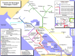
Nicaragua Transit system Map
3890 miles away
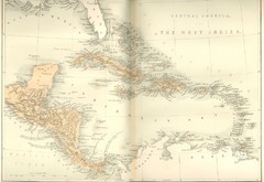
Central America and the West Indies Map
Historical Map of Central America and the West Indies Map
3893 miles away

