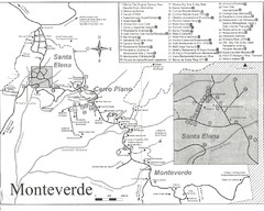
Monteverde Santa Elena Tourist Map
3731 miles away
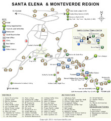
Santa Elena & Monteverde Map
3731 miles away
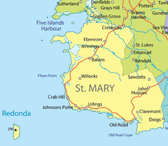
St Mary province Map
3733 miles away
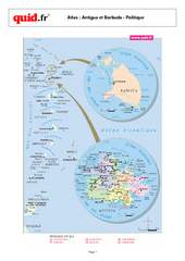
Antigua and Barbuda Regional Map
Map of island with detail of regional divides
3734 miles away
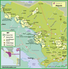
Alajuela Tourist Map
Tourist map of Alajuela region
3735 miles away
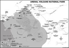
Arenal Volcano National Park Map
3735 miles away
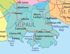
St. Paul province Map
3736 miles away
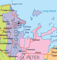
St. Peter and St. George provinces Map
3737 miles away
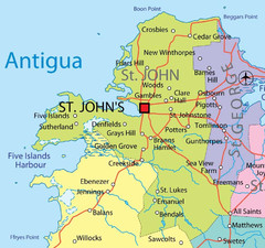
St. John province Map
3737 miles away
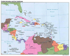
Central American and Caribbean Islands Map
Map shows countries, capital cities and major cities of Central America, Caribbean and the northern...
3739 miles away
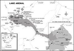
Lake Arenal Map
3741 miles away
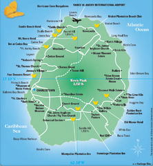
Nevis Tourist Map
Tourist map of Nevis Island, near St. Kitts. Shows inns, villages, and other points of interest.
3744 miles away
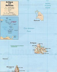
Antigua and Barbuda Map
Map of Antigua and Barbuda showing cities, roads and boundaries.
3753 miles away
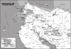
Guanacaste and the Northeast Map
3753 miles away

St. Kitts and Nevis Map
3753 miles away

St. Kitts and Nevis dive sites Map
3757 miles away
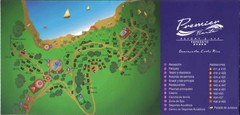
Premier Fiesta Resort and Spa Map
Fiesta Resort Map (Now Hilton)
3758 miles away

Leeward Islands Map
Guide to the Leeward Islands of the Caribbean, such as Saint Barthelemey, Saint Martin, Anguilla...
3773 miles away
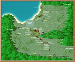
Coco Beach Tourist Map
3773 miles away
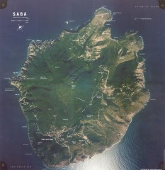
Saba aerial map
Aerial map of Saba. Shows major geological features and towns. Home of one of the world's...
3782 miles away
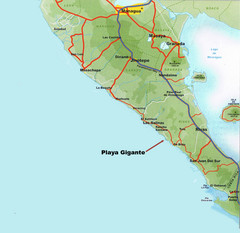
Cental America Coast Map
3784 miles away
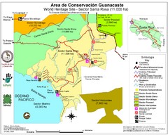
Guanacaste Conservation Area Tourist Map
Tourist map of Guanacaste Conservation Area, a World Heritage Site, in state of Guanacaste, Costa...
3786 miles away
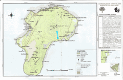
Corn Island Topo Map
3791 miles away
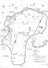
Big Corn Island Tourist Map
3791 miles away
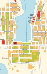
Gustavia Map
3797 miles away

St. Barthelemy Map
3797 miles away
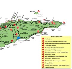
East St. Croix Map
3800 miles away
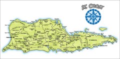
St. Croix Island Map
Overview map of island of St. Croix, US Virgin Islands. Shows districts, roads, and towns.
3801 miles away
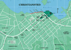
Christiansted Map
3801 miles away
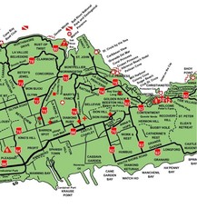
Central St. Croix Map
3801 miles away
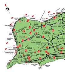
West St. Croix Map
3801 miles away
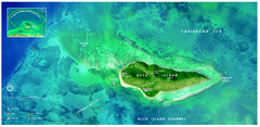
Buck Island Reef National Monument Map
Official NPS park map of Buck Island Reef National Monument off island of St. Croix in the US...
3804 miles away
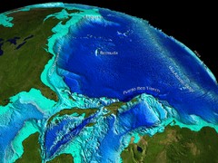
Caribbean Sea Bathymetry Map
3805 miles away
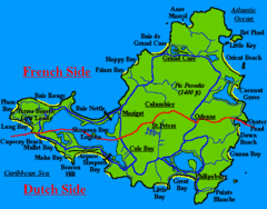
St. Maarten Beach Tourist Map
3808 miles away
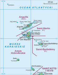
Saint Martin Map
3809 miles away

Panoramic view of Nicaragua Canal route Map
3810 miles away
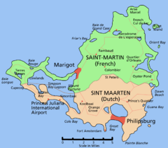
Saint Martin Map
Overview map shows entire island of Saint Martin (French) or Sint Maarten (Dutch).
3811 miles away
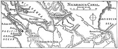
Route of Nicaragua Canal 1906 Map
3811 miles away
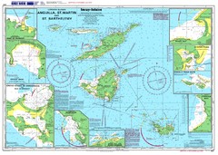
Anguilla St. Martin St. Barthelemy Nautical Map
Nautical map of Anguilla St. Martin St. Barthelemy. Shows insets of major ports.
3813 miles away
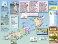
Anguilla Map
Tourist map of Anguilla Island. Shows all restaurants.
3820 miles away

