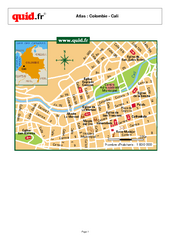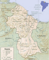
Guyana Map
Guide to the South American country of Guyana
2852 miles away
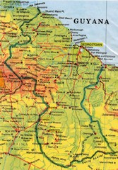
Guyana Topographic Map
Guide to Guyana, a country in South America
2860 miles away
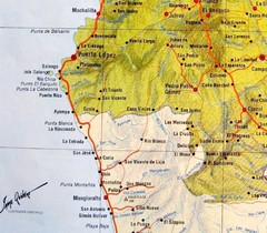
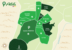
ruta del sol Map
2864 miles away
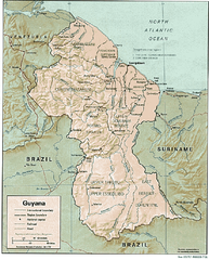
Guyana (Shaded Relief) 1991 Map
2871 miles away
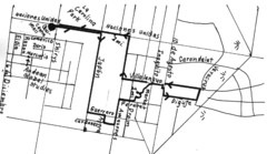
Quito Ecuador Townscape Walks Map
A book of hand-drawn maps with sketches for 12 great walks I designed in Quito, Ecuador.
2877 miles away
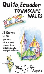
Quito Ecuador Townscape Walks Map
A book of hand-drawn maps with sketches for 12 great walks I designed in Quito, Ecuador.
2877 miles away
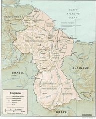
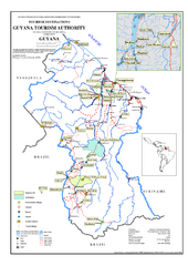
Guyana Tourist Map
2878 miles away
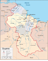
Guyana Country Map
2878 miles away
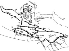
La Colina to Guapulo Map
Lovely walk from the hill top with wonderful views into the old neighborhood of Guapulo. 2.7 miles...
2883 miles away
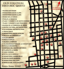
Old Colonial Historic Quito Map
Street map of Old Colonial area of Quito
2884 miles away
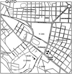
Quito, Ecuador Tourist Map
2884 miles away
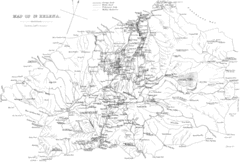
St Helena Historical Map
Map of St Helena by Fowler
2884 miles away
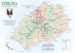
St. Helena Tourist Map
Tourist map of the remote island of St. Helena. Shows details of key locations, routes and...
2884 miles away
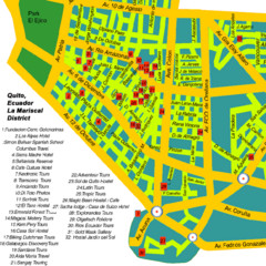
Mariscal District Quito Map
Tourist map of La Mariscal district of Quito
2884 miles away
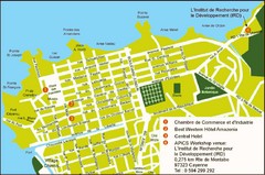
Cayenne City Map
City map of Cayenne, French Guiana. Shows a couple hotels and a workshop venue location
2893 miles away
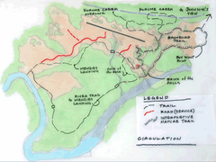
Kaieteur Falls Trail Map
Trail map of Kaieteur National Park in Guyana. Kaieteur Falls plummets 741 feet into the...
2901 miles away
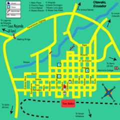
Otavalo City Map
2903 miles away
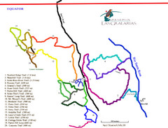
Reserva Las Gralarias Trail Map
2903 miles away

Angel Falls Oblique Map
2920 miles away
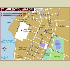
St. Laurent du Maroni Map
2923 miles away

Auyan Tepui Map
2931 miles away

Canaima Venezuela Map
Take off point to visit Angel Falls
2942 miles away
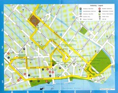
Paramaribo Suriname Tourist Map
Central Paramaribo, Suriname tourist map showing tourist sites, airports and city buildings.
2942 miles away
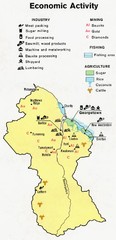
Guyana - Economic Activity, 1973 Map
2952 miles away
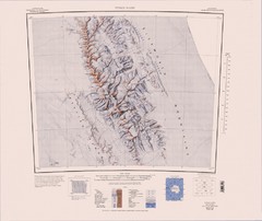
Vinson Massif Topo Map
Topo map of Vinson Massif, the highest mountain in Antarctica at 16067 ft / 4897 m. One of the...
2990 miles away

Guyana - Ethnic Groups, 1973 Map
3007 miles away
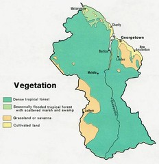
Guyana - Vegetation, 1973 Map
3008 miles away
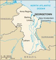
Guyana (Small Map) 2010 Map
3009 miles away
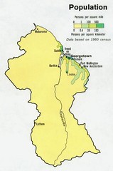
Guyana - Population 1973 Map
3009 miles away
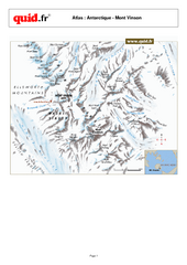
Mont Vinson Map
Map of Vinson Massif mountain range, the highest range in Antartica, 16,050 ft high. Located about...
3010 miles away
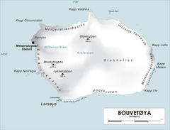
Bouvet Island Map
Map of Bouvet Island in the Southern Atlantic Ocean. Shows peaks and meteorological station.
3048 miles away
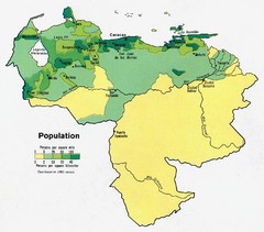
Venezuela Population Map
Map marking population per square mile.
3050 miles away
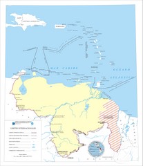
Official boundaries of Venezuela Map
All the official boundaries of Venezuela including the maritime ones.
3050 miles away
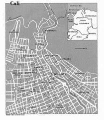
Cali City Tourist Map
3055 miles away
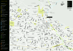
Cali City Map
3055 miles away

