Alexander Island Map
Topographic map of Alexander Island
2487 miles away
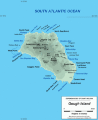
Gough Island Map
2513 miles away
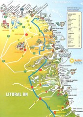
Coast line - Rio Grande do Norte Map
2527 miles away
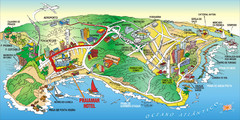
Praia de Ponta Negra, Natal, RN Map
2530 miles away
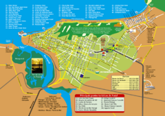
Natal Tourist Map
Tourist map of city of Natal, Brazil. Shows streets, hotels, and main points of interest.
2532 miles away
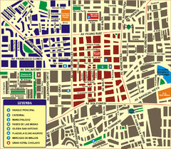
Chiclayo Tourist Map
Tourist map of downtown
2533 miles away
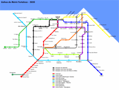
Fortaleza Metro Map
Map of metro transit throughout city
2556 miles away
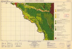
Forest Map of the Colombian Amazonia
2718 miles away
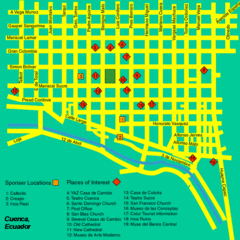
Cuenca Street Map
Streets and more are marked on this map and legend.
2736 miles away
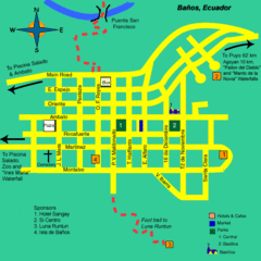
Banos Map
Simple map and legend of this small city.
2736 miles away
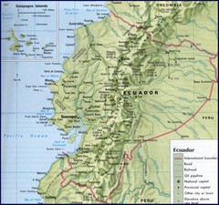
Ecuador Relief Map
2744 miles away
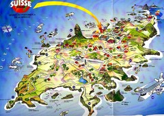
Fernando de Noronha Island Map
Tourist map of Ilha de Fernando de Noronha. Scanned.
2744 miles away
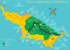
Ilha de Fernando de Noronha Map
2745 miles away

Ecuador National Parks Map
2771 miles away
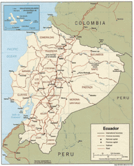
Ecuador Tourist Map
2774 miles away
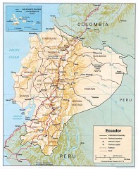
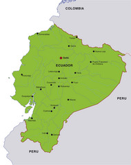
Ecuador map
Map of Ecuador showing provinces and capitols, major roads and rails
2774 miles away
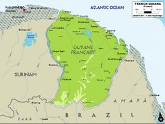
French Guiana Map
2793 miles away
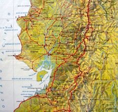
Relieve del Ecuador Map
2807 miles away
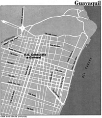
Guayaquil, Ecuador Tourist Map
2807 miles away
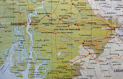
cerca de Guayaquil Map
2808 miles away
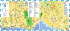
Guayaquil Tourist Map
Shows center and north sectors of Guayaquil, Ecuador. Shows points of interest. In Spanish.
2809 miles away
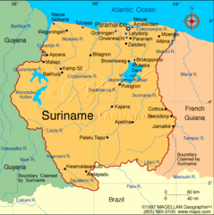
Suriname Map
Clear map marking cities and borders.
2809 miles away
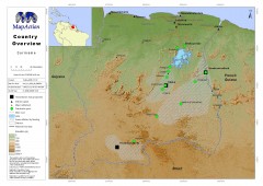
Suriname Overview Map
Country overview with settlement and main communication links.
2809 miles away
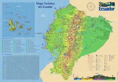
Ecuador Tourist Map
Detailed tourist map of Ecuador with inset of the Galapagos Islands. Shows National Parks and...
2809 miles away
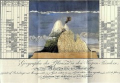
Humboldt's Scientific Representation of...
Alexander von Humboldt's scientific representation of the Chimborazo volcano in Ecuador...
2817 miles away
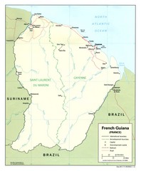
French Guiana Tourist Map
2819 miles away
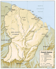
French Guiana Map
2819 miles away
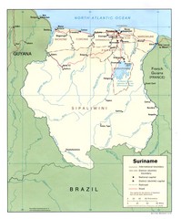
Suriname Map
2820 miles away
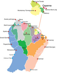
French Guiana political Map
2822 miles away
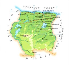
Surinam Map
2834 miles away
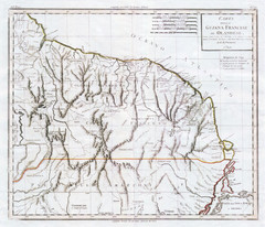
French Guiana 1824 Map
2835 miles away
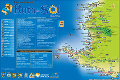
Ruta del Sol Tourist Map
Tourist map of the Ruta del Sol near Santa Elena, Ecuador. Shows points of interest
2841 miles away
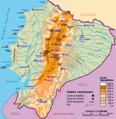
Ecuador Elevations Map
2842 miles away
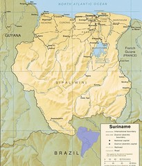
Surinam relief Map
2845 miles away
Peninsula de Santa Elena Map
2845 miles away
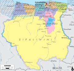
Surinam political Map
2846 miles away

