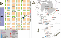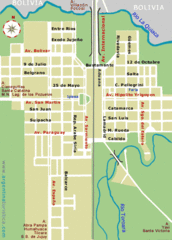
La Quiaca City Map
Street map of city
1122 miles away
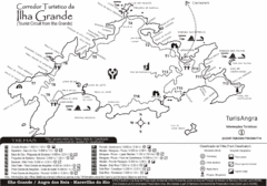
Ilha Grande Tourist Map
Tourist map of island
1180 miles away
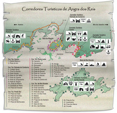
Angra dos Reis Tourist Map
Tourist map of region
1185 miles away
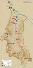
Rio de los Cipreses River Map
Rio de los Cipreses in Antofagasta, Chile
1203 miles away
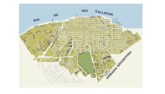
Río Gallegos City Map
City street map
1221 miles away
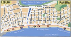
Ipanema - Leblon Street Map
Street map of Ipanema/Leblon region of Rio
1228 miles away
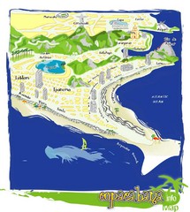
Copacabana Tourist Map
1229 miles away
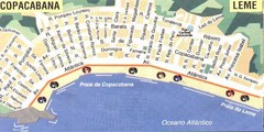
Copacabana-Leme Map
Street map of Copacabana - Leme regions of Rio
1230 miles away
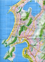
Rio de Janeiro Copacabana Area Map
Shows Copacabana and Pao de Azucar area of Rio de Janeiro, Brazil. Map is oriented south. Scanned.
1231 miles away
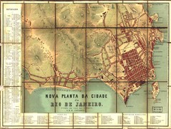
Rio de Janeiro Map 1867
Detailed map of city of Rio de Janeiro. Looks like the map portion has been overlayed on top of a...
1232 miles away
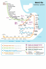
Metro Rio Map
Map of metro subway throughout Rio De Janeiro
1233 miles away
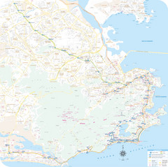
Rio de Janiero Map
1233 miles away
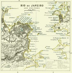
Rio De Janeiro Historical Map
Map of Rio De Janeiro, Brazil fro 1896. Map showis towns, buildings and roads.
1233 miles away
. Map
1233 miles away
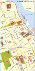
Rio de Janeiro Center Map
Street map of city center
1233 miles away
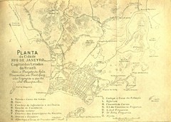
Rio De Janeiro Historical Map
Map of Rio De Janeiro, Brazil likely from 1769 showing the city streets and main buildings.
1234 miles away
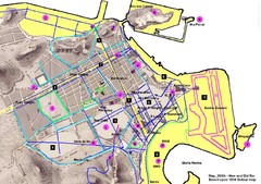
New and Old Rio de Janiero Map
Shows 2000 view of Rio de Janeiro, Brazil superimposed over 1838 Dufour map.
1234 miles away
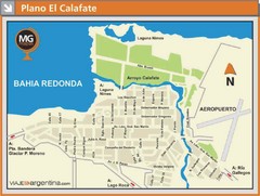
El Calafate City Map
Street map of downtown area
1238 miles away
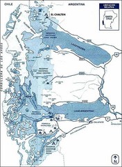
Los Glacieres Park Map
1245 miles away
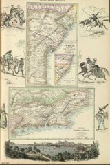
Middle Provinces of Brazil Map 1872
Map of province east coast of Brazil (Bahia) and province of Rio de Janeiro, Brazil 1872
1246 miles away
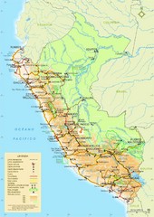
Western South America Tourist Map
1247 miles away
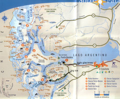
National Park, Perito Moreno Map
1256 miles away
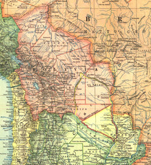
Bolivia and Paraguay in 1921 Map
1921 National Geographic Map of Bolivia and Paraguay before of the 1932-35 bloody war between those...
1262 miles away
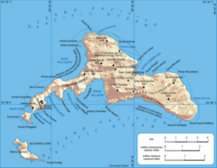
Robinson Crusoe Island Map
Map of Robinson Crusoe Island, Archipelago Juan Fernández, Chile. Shaded relief.
1266 miles away
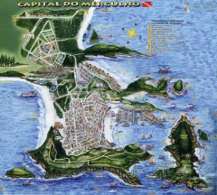
Arraial do Cabo Tourist Map
Tourist map of Arraial do Cabo, Brazil. Approx. 150 km from Rio de Janeiro. Hand-drawn panorama...
1277 miles away
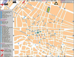
Potosi Center Map
Tourist street map of downtown Potosi
1284 miles away
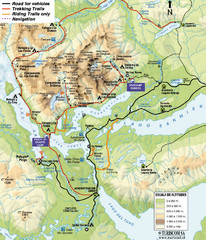
Torres del Paine National Park Map
1288 miles away
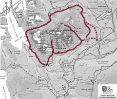
W Circuit Torres del Paine National Park Map
Map of famous trekking circuit in Torres del Paine National Park, Chile. Show refugios along route
1292 miles away
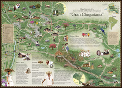
Chiquitania Region Tourist Map
Tourist map of the Mancomunidad Chiquitana or "Association of Chiquitano Peoples and...
1294 miles away
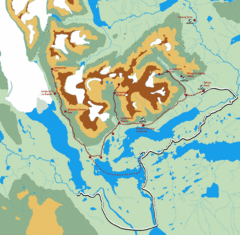
Torres del Paine Trekking Map
Shows trekking/hiking circuit in the Torres del Paine National Park in Chile. Includes hiking...
1295 miles away
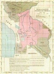
Alleged territorial losses of Bolivia Map
This Bolivian map shows all the alleged territorial losses.
1299 miles away
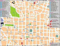
Downtown Sucre Map
Tourist street map of downtown Sucre
1306 miles away
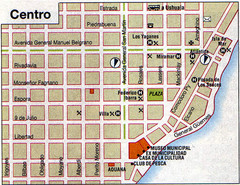
Rio Grande Centro Map
Street map of city center
1316 miles away

Juan Fernandez Islands Topographic Map
Shows Isla Mas Aferua and Isla Mas Atierra
1319 miles away

