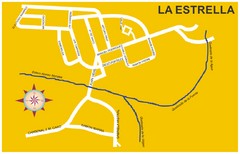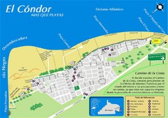
El Condor Tourist Map
Tourist street map
850 miles away
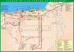
San Carlos de Bariloche Tourist Map
Tourist street map of city
852 miles away
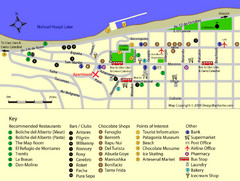
Bariloche Center Tourist Map
Tourist map of town center
852 miles away
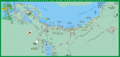
San Carlos de Bariloche Area Tourist Map
Tourist map of San Carlos de Bariloche, Argentina area in Patagonia on Lake Nahuel Huapi.
855 miles away
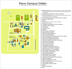
Universidad de Concepción Chillan Campus...
Campus map
855 miles away
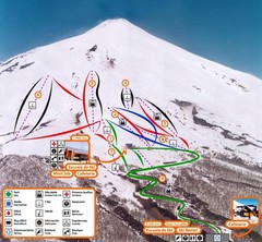
Pucón—Volcán Villarrica Ski Trail Map
Trail map from Pucón—Volcán Villarrica. This ski area has its own website.
856 miles away
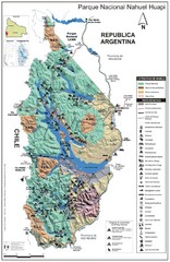
Nahuel Huapi National Park Map
Park map with detail of trails and recreation zones
859 miles away
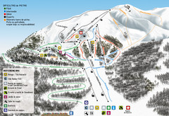
Cerro Bayo Ski Trail Map
Trail map from Cerro Bayo.
859 miles away
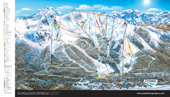
Catedral Alta Patagonia Ski Trail Map
Ski trail map of Catedral Alta Patagonia near Bariloche, Argentina
861 miles away
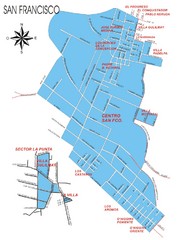
San Francisco Map
Street map of town
861 miles away
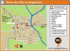
Villa la Angostura Tourist Map
Tourist street map
862 miles away
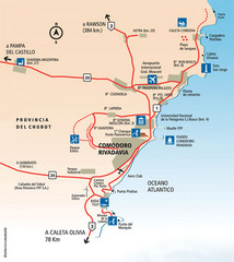
Comodoro Rivadavia Region Tourist Map
Tourist map of region
863 miles away
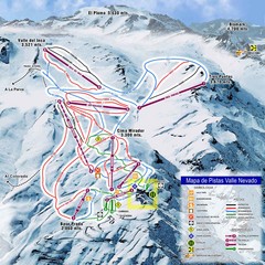
Valle Nevado Ski Resort Trail Map
Trail Map for Valle Nevado Ski Resort in Chile. Map includes lifts, mountain elevations and ski...
866 miles away
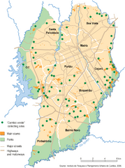
Curitiba City Map
Curitiba city overview map
875 miles away
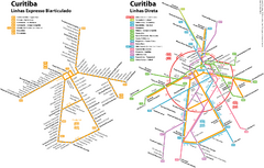
Curitiba Public Transportation Map
875 miles away
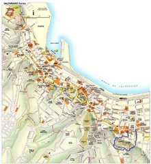
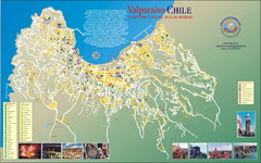
Valparaiso Tourist Map
Tourist map of central Valparaiso, Chile. Shows restaurants, bars, and other points of interest...
878 miles away
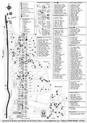
El Bolson Tourist Map
Tourist street map
882 miles away
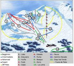
Antillanca Ski Trail Map
Trail map from Antillanca.
887 miles away
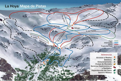
La Hoya Ski Trail Map
Trail map from La Hoya.
893 miles away

Mississippi Airports Map
896 miles away

Paraguay Map
Map of Paraguay showing cities, roads, railroads and borders.
900 miles away
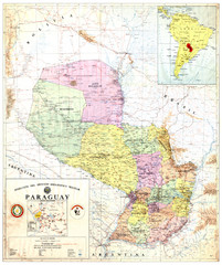
Official map of Paraguay
Official map of Paraguay, year 1993
900 miles away
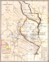
Wartime map of the Chaco
This 1933 map of the Chaco was made during the Chaco War between Paraguay and Bolivia and used by...
900 miles away
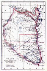
All the failed proposals to delimit the Chaco Map
Here you can see all the proposals to delimit the Chaco between 1879 and 1894. Everyone of them...
900 miles away
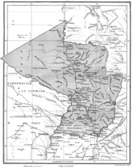
Map of Paraguay before the Chaco War
This is an internationally accepted map of Paraguay before the Chaco War (1932-35) made by Scottish...
900 miles away
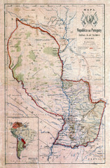
Map of Paraguay before the Chaco War
This dateless map of Paraguay that I scanned shows all the local claim over the Chaco (the northern...
900 miles away
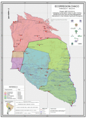
Ecological Region of the Chaco Map
This is the ecological Region of the Chaco shared between Paraguay and Bolivia
900 miles away
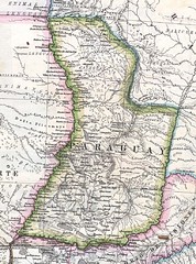
Paraguay Political Map 1875
Political map of Paraguay in 1875. Part of "Mapa Original de la Republica Argentina y Estados...
900 miles away


